
How do I find the path?
Click on the map, it is powered by open street map and shows you where the path is - you can click on the navigator icon to show you where you are and check if you are on the right track.
You won't have reception when you are there so I also recommend that you download the alltrails map for the walk and the also downloading the Chaelundi 9337-1N map on Avenza as a backup. Also a good idea to purchase the paper map and bring it and a compass as well as a backup phone. There is no reception so keep your phone on airport or airplane mode to conserve the battery.
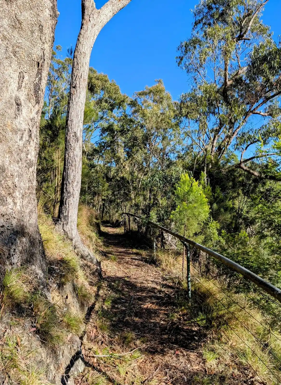
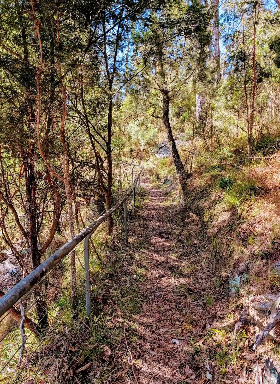
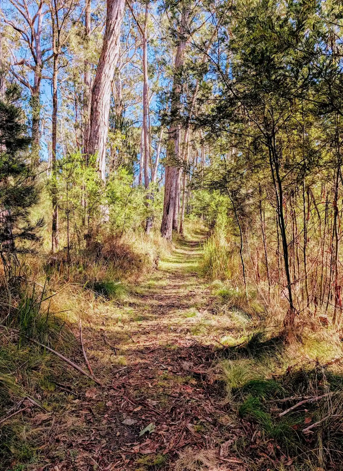
The path sometimes disappears, it's a bit of a whisper path so keep on heading in the right direction.
Should I do the walk in 2 or 3 days?
Would highly recommend doing the walk in three days for a more relaxed walk. This means that you can spend a day getting down, set up at one of the beautiful campsites by the river and relax. Have a campfire and a swim in the sun. Then spend a day doing the river crossings and camp at the river again. Making the ascent on the last day fresh and well rested. Make sure you refill your water for the last day as it is a steep ascent.
Do it in 3 days if you can.
The reason we would recommend this is that we had some beginner hikers in our group so we were a bit slower which is fine. It did mean that we ended up walking 13 hours on the first day and by the time it had gotten dark we had only done 4/10 river crossings. Which means that we did 6 river crossings at night which was beautiful, we ended up getting to camp at 10pm though so there was no relaxing campfire.
What Should I Bring?
Bring everything that we recommend in our overnight packing guide. In addition we recommend you bring the following for this particular walk:
- a lifestraw filter to filter water from the river
- at least 4L of water each, so you have enough for the way back up and cooking and hot water bottles
- a set of hiking poles each or at least one pole per person, very useful for the river crossings
- plenty of soups to warm up after the river crossings
- surf shoes or wetsuit socks, with 10 river crossings they are definitely worth it
- merino thermal leggings or wetsuit pants for the river crossings during winter definitely worth it
Here is a link to the full checklist of what to take for this three day hike.
Should I go clockwise or anti-clockwise?
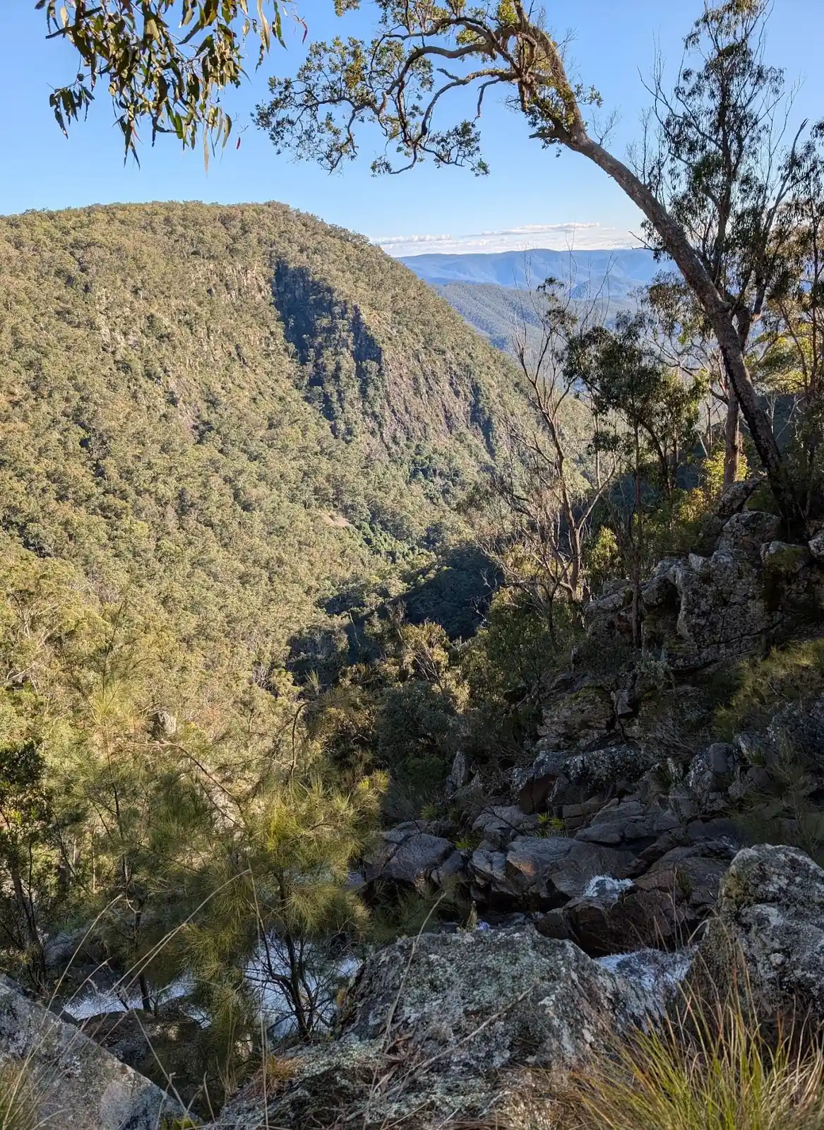
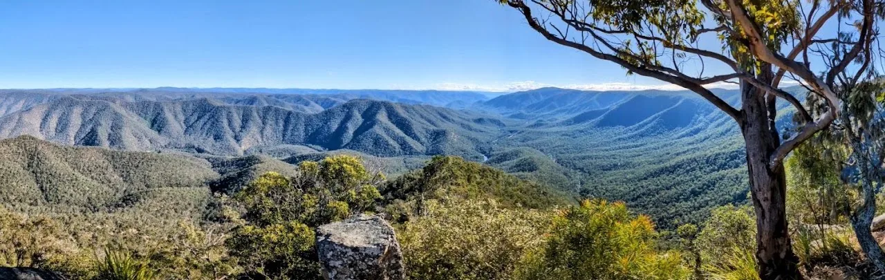
We'd recommend anti-clockwise because Jordans Trail, the firetrail back up is so steep it would be far more difficult to traverse down than the bushwalk down the Combalo trail which leads on from Wurrang Lookout which is more of a whisper path than a dirt road and has more places to grip onto.
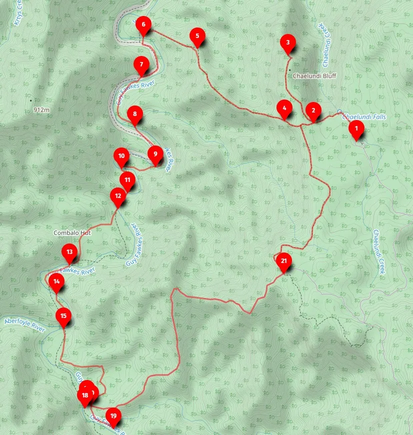
How do I find the river crossings?
There are 10 river crossings, shown on the map below at these co-ordinates, pay attention to the brumby trails and look at where they are crossing as well. For the first person across, leave your pack on the side and cross without it to make sure it can be done safely first, then some back for the pack and the rest of the people. Use a hiking pole or stick to check depth when you are crossing as well.
Where is the trail?
The alltrails trail is pretty accurate as well so follow that closely if you can.
Here are the points below, it might be a good idea to print out the coordinates of the crossings to make sure you are in the right place.
- Start Chaelundi Picnic Area, you can camp here overnight, we stayed in the car so we didn't need to pack up. If you are planning to stay overnight you can book the campsite here. Here is the location of the campground and picnic area at the start: -30.06810340359677, 152.33367542531786, Google Maps link
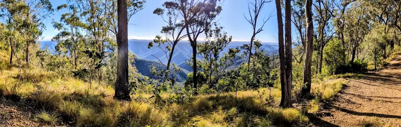
- Head along the Escarpment Walking track towards Lucifers Thumb Lookout, have a look at the waterfall on the way. When you get to the turnoff to Lucifers Thumb Lookout, put your packs down and go and check it out, the view is stunning. Here is the turnoff: -30.064734968082288, 152.32560241318734, Google Maps link
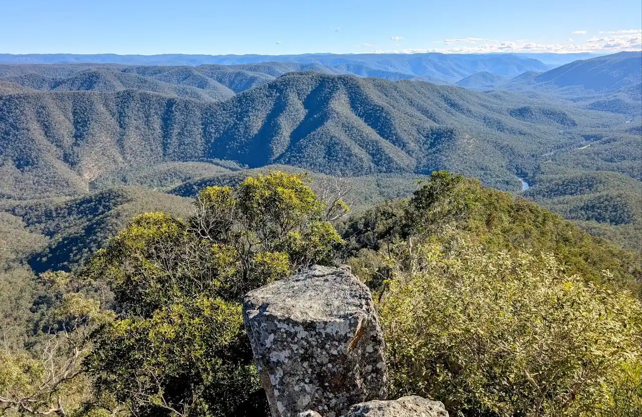
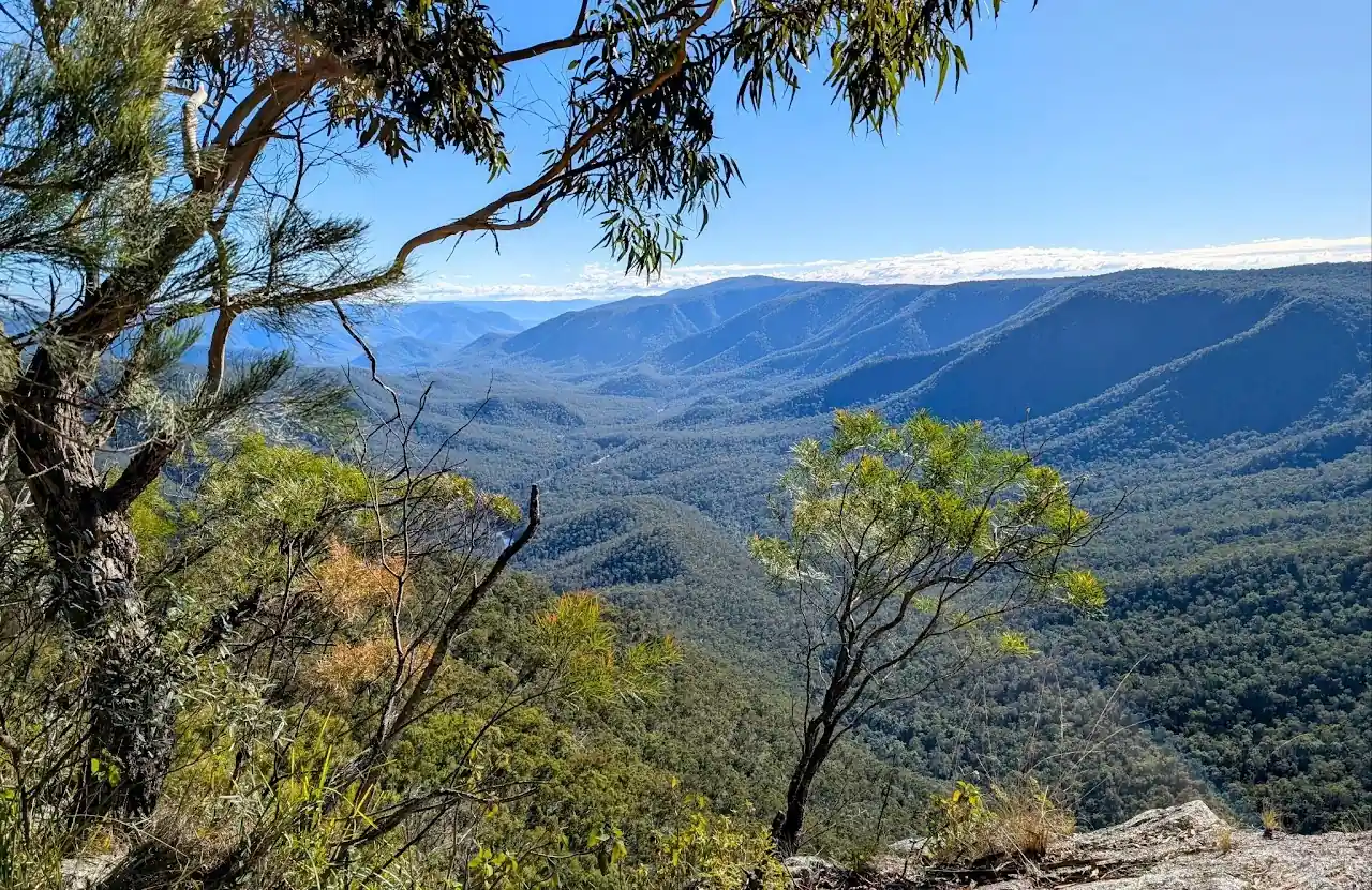
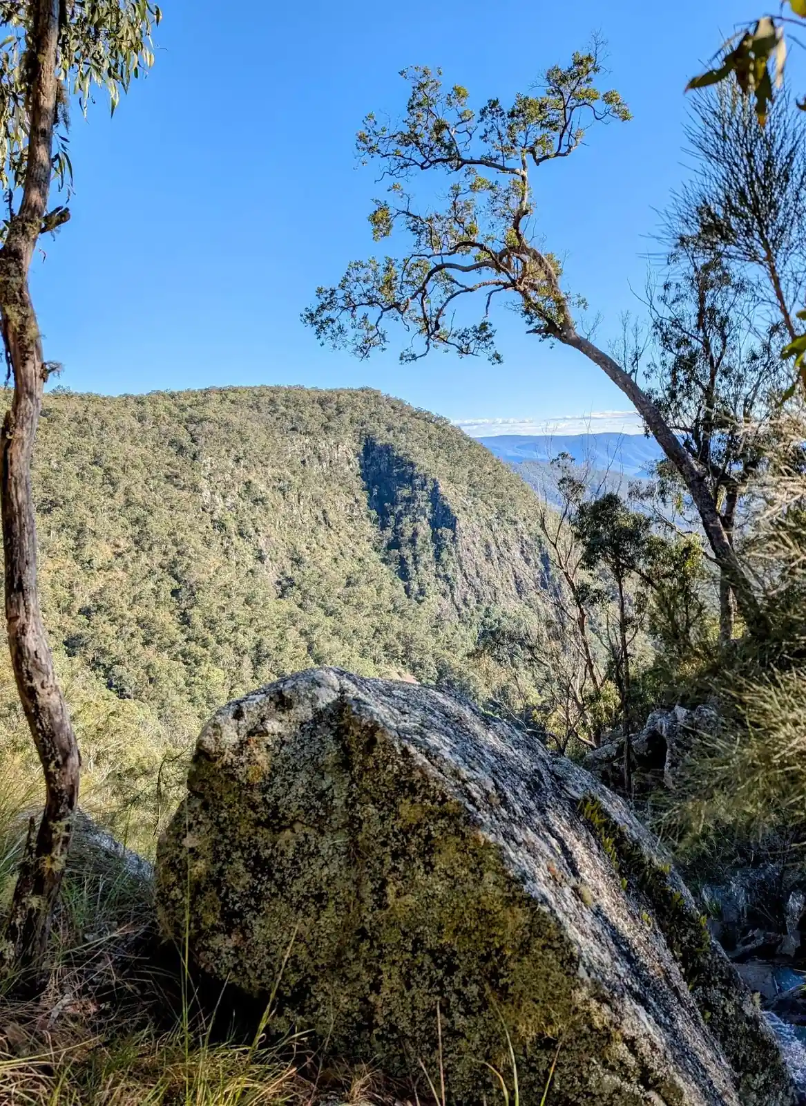
- Here is the beautiful lookout at Lucifers Thumb Lookout, there are a few nice lookouts on the way so enjoy the view and look at the ridgeline to the south you'll be going down. Here is the lookout: -30.056008533398884, 152.32227831888773, Google Maps link
- Head back to the turnoff and put your packs back on. Head down to the next turnoff to Wurrang Lookout and head down to the lookout. There are some posts with a wire line between them, step over these and head down the hill. There is a bit of a whisper path which follows the alltrails trail. Here is the location of the lookout: -30.065347408621086, 152.32151806354526, Google Maps link
- There are two options here, you can continue along the Alltrails path that goes down the hill or bush back a bit along the now defunct Combalo Trail. We chose to bush bash along the Combalo trail, there were a few paths that often petered out. We just wanted to see what was there so we went that way, you could go to the right along the more established alltrails path instead if you chose. This is where it diverges: -30.055796996034978, 152.30617046356204, Google Maps link
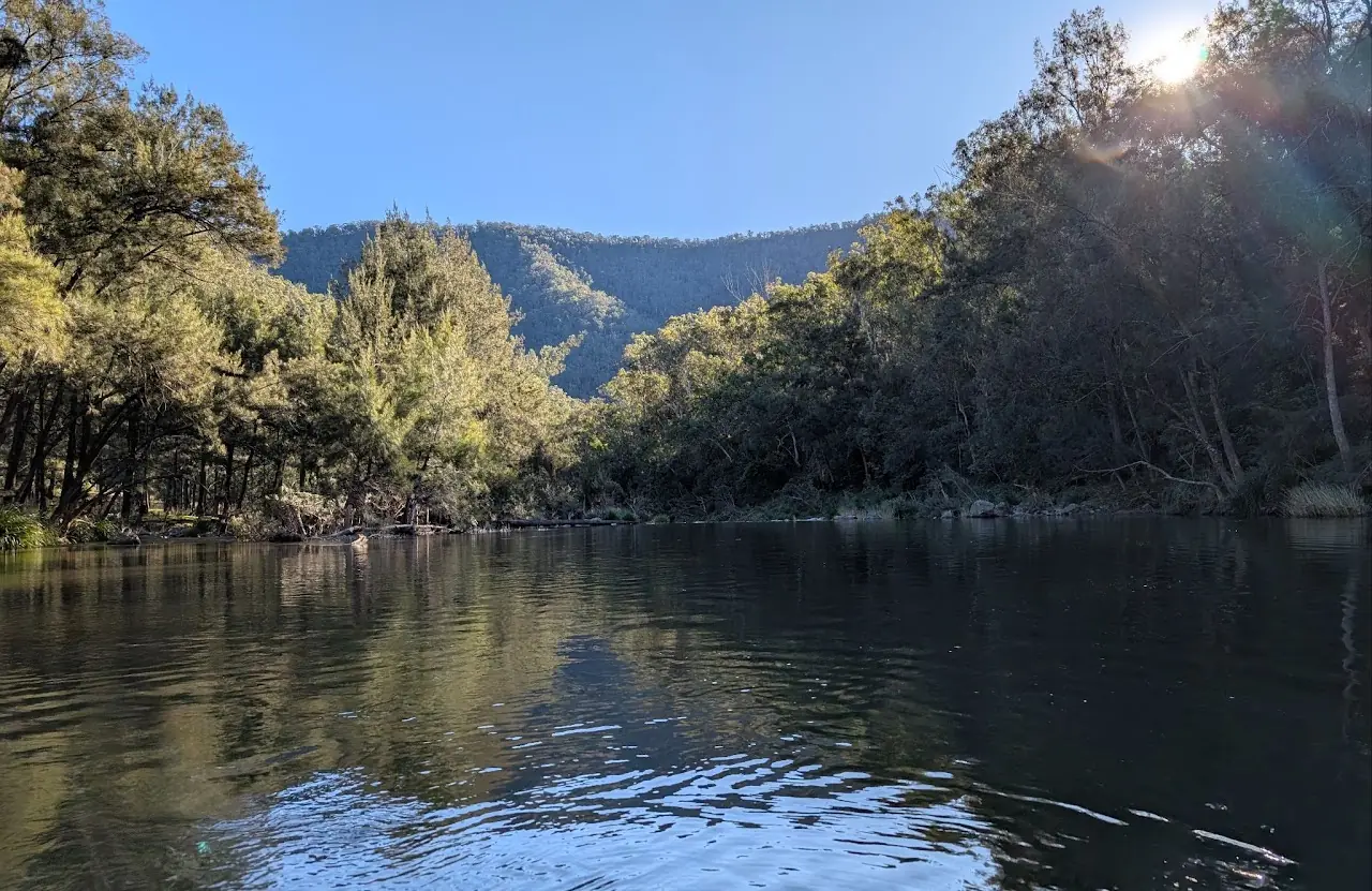
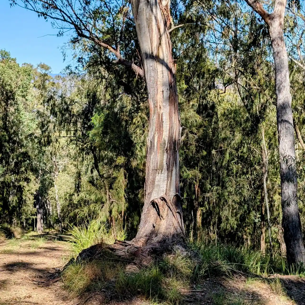
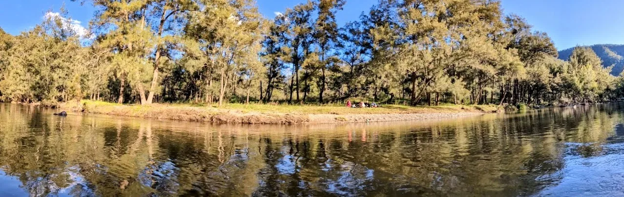
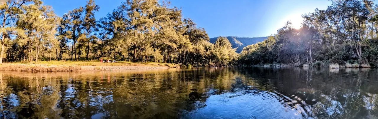
- When you get to the bottom its a bit of a scramble/ bum shuffle down, there were a few stinging trees as well so watch out for those. Here is the river crossing point we used. This is also good option as a campsite on the first night: -30.052602, 152.296643, Google Maps link
- Here is the second river crossing point we used: -30.058509, 152.2963, Google Maps link
- Here is the third river crossing point we used: -30.0659, 152.295227, Google Maps link
- Here is the forth river crossing point we used: -30.071805, 152.298746, Google Maps link
- Here is the fifth river crossing point we used: -30.072121, 152.29291, Google Maps link
- Here is the sixth river crossing point we used: -30.075705, 152.29394, Google Maps link
- Here is the seventh river crossing point we used: -30.0781, 152.292266, Google Maps link
- Here is the eighth river crossing point we used: -30.086362, 152.28394, Google Maps link
- Here is the ninth river crossing point we used: -30.090763, 152.281709, Google Maps link
- Here is the tenth river crossing point we used, it looks like a double crossing on the map, fortunately it is only one crossing: -30.095868, 152.282953, Google Maps link
- Here is a nice campsite option on the river with a fire pit and tree above: -30.106635, 152.286944, Google Maps link
- Here is a nice campsite option on the river with a fire pit and tree above: -30.10773, 152.286644, Google Maps link
- Here is a nice campsite option with the old hut as well: -30.110728285437492, 152.29153633117676, Google Maps link
- This is the firetrail up, Jordan's Trail it can get very steep in places so get your poles out: -30.10734064042325, 152.2876846790314, Google Maps link
- Turn left, this is a grassy trail just before the sign for Jordan's trail and the Escarpment walking track: -30.087699, 152.320805, Google Maps link
How the Friends Find Me App Fits In
Apps like Avenza, AllTrails, and Gaia GPS open up the world of bushwalking and exploration, allowing you to confidently navigate trails, discover new paths, and track your progress. But as you embrace these tools to find the right track, it's also important to consider your safety and how your loved ones can stay connected with you while you explore.
That’s where the Friends Find Me app comes in. Just like these bushwalking apps help you navigate the wilderness, Friends Find Me is designed to ensure that your friends and family always know where you are. If something goes wrong—whether you lose signal, get injured, or go off track—the app sends your location to your trusted contacts, so they can come to your aid or alert emergency services.
While Avenza, AllTrails, and Gaia GPS help you find your way on your journey, Friends Find Me helps your loved ones find you if things don’t go as planned. It’s the perfect complement to these powerful bushwalking apps, allowing you to explore with the confidence that your safety is always a top priority.
So, as you head out on your next adventure, take advantage of these apps to find the right track—and use Friends Find Me to make sure your loved ones know you’ll be coming home safe.
Happy bushwalking!