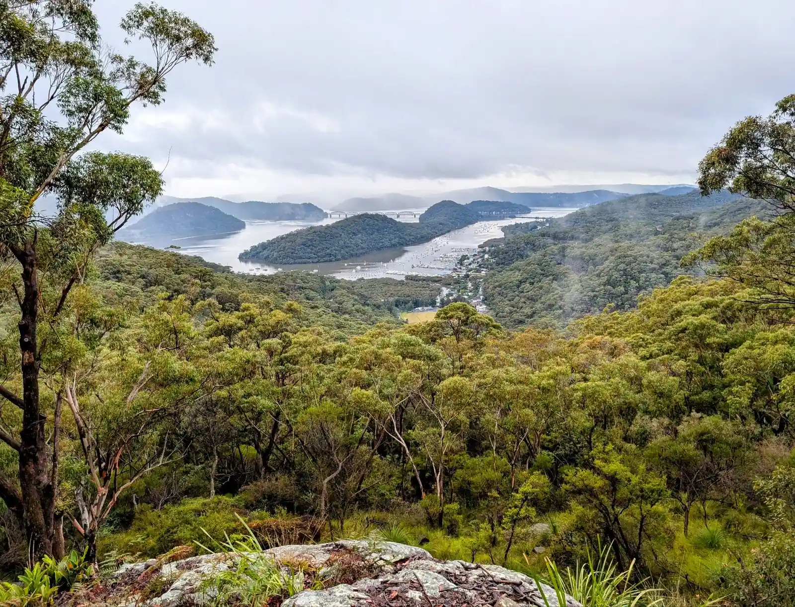
Looking for your next adventure on foot? This page is your guide to the best hikes around the world, from easy day walks to multi day treks through mountains, forests, coastlines, and deserts. Whether you're planning your first hiking trip or you're an experienced bushwalker, you'll find walks to suit every fitness level and interest.
We’ve listed easy hiking trails near cities, scenic walking routes for beginners, and remote wilderness hikes with views worth the climb. Our goal is to help you discover less crowded hiking destinations, family friendly trails, and hidden gem hikes you won’t find in every guidebook.
Use this page to search by location, track length, difficulty, or the kind of experience you’re after — like waterfall walks, hikes with swimming spots, or dog-friendly bushwalks. Let it be your starting point for exploring the world, one trail at a time.
Avondale Dairy Boys Circuit (2.9km)
Avondale Dairy Girls Circuit (2.5km)
Avondale Sandy Creek Circuit (2.4km)
Berry's Head - Explorer (2.5km)
Berry's Head - Jane Young Loop (1km)
Berrys Head - Themeda Track Loop (1km)
Bulgandry Aboriginal Engravings (0.4km)
Bouddi - Bullimah Spur Track (2.8km)
Bouddi - Third Trail Return (4km)
Bouddi - Tallow Beach Explorer (4km)
Brooklyn to Woy Woy Via Little Wobby (16km)
Budgewoi Beach Dog Walk (2.4km) Return
Copacabana Beach Dog Walk (1.2km) Return
Chittaway Point Dog Walk (1.6km) Return
Daleys Point Aboriginal Engravings (5km Return)
Dangar Island Aboriginal Engravings (2km)
East Gosford Friendship Walk (0.8km)
Ettalong Beach Dog Walk (1.6km) Return
The Entrance North to Canton Beach 25km One Way
Forresters Beach Dog Walk (0.6km) Return
Girrakool - Piles Creek Loop (4km)
Gosford Station to Lisarow Station (13km)
Hardys Bay Foreshore Dog Walk (1.2km) Return
Katandra Seymour Ponds Loop (0.8km)
Katandra to St Johns Lookout (4km)
Kincumber - Island View Drive Loop (8km)
Kincumber Waterfront Walk (5km) One Way
Killcare Beach Dog Walk (0.8km) Return
Koolewong to Woy Woy Bay via Spion Kop (11km)
Lyre Trig, Heiroglyphs and Guardian Tree Loop (3km)
Mt Alison Firetrail Dog Walk (8km return or 4km one way)
Mt Alison Ridgeline Return (8km return or 4km one way)
Mt Ettalong Lookout near Umina (0.8km)
Mt Penang Parklands Dog Walk (1.km) Loop Kariong
Nagari Reserve Loop Umina Beach (2.2km)
Niagara Park to Strickland (10km)
Niagara Park Rainforest Walk(3km Return)
North Avoca Lake Explorer (3.3km)
North Avoca Dog Walk (0.6km) Return
North Shelly Beach Dog Walk (1.2km) Return
North Entrance Beach Dog Walk (1km) Return
Ourimbah Ridgetop Walk (1.6km) Return
Patonga Beach Dog Walk (0.6km) Return
Pearl Beach Dog Walk (0.8km) Return
Phegans Bay - Elaroo Reserve (1.8km)
Phegans Bay - Olive Avenue (0.4km)
Popran - Emerald Pool (10.5km)
Popran - Postmans Track (20km)
Ritcher's Cave Short Walk (5km)
Ritcher's Cave Long Walk (8.2km)
Rumbalara - Donnison Street Loop (3km)
Rumbalara - North Gosford Tottenham Place Circuit (3km)
Rumbalara - Plateau Road Ridgeline Loop (6km)
Somersby Aboriginal Engravings (1km return)
Somersby Falls Lower Swimming Hole 3km return
South Umina Dog Walk (1km) Return
Spion Kop - Return from Bambina Road (13km)
Spion Kop - Koolewong Return (8.5km)
Strickland - Aboriginal Engravings (0.4km)
Strickland - Bottom to Top (5km)
Strickland - Cabbage Tree Tack (2.3km)
Strickland Arboretum Loop (2.3km)
Strickland - Niagara Park to (4.5km)
Tuggerah Lake Walk 22km One Way
Tunnel Trail Dog Walk (4km) Return
Umina Beach Wildflower Walk (4km)
Upper Mangrove 10 Mile Hollow Loop 24.3km
Upper Mangrove to Wisemans Ferry 30km
Wamberal Beach Dog Walk (3km) Return
Winney Bay Lookout to Avoca (3km)
Wisemans Ferry Old North Road 9km Loop
Woy Woy - Lions Park - Blackwall Mt (3.6km)
Wyoming Rain Forest Walk (3km)
Wyoming Dog Walk (2.2km) Return
Wyrrabalong Coastal Walk (4km)
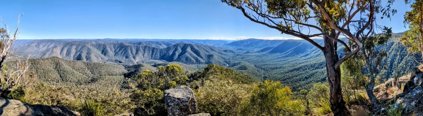
Lucifers Thumb via Escarpment Track and Jordan's Track Loop 28.8km
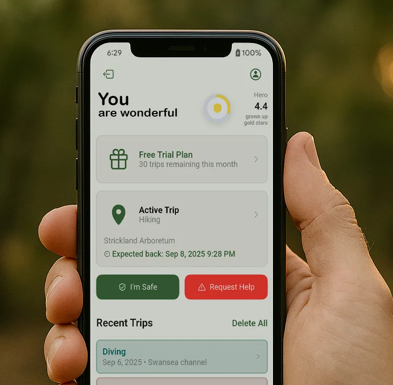
Apps like Avenza, AllTrails, and Gaia GPS open up the world of bushwalking and exploration, allowing you to confidently navigate trails, discover new paths, and track your progress. But as you embrace these tools to find the right track, it's also important to consider your safety and how your loved ones can stay connected with you while you explore.
That’s where the Friends Find Me app comes in. Just like these bushwalking apps help you navigate the wilderness, Friends Find Me is designed to ensure that your friends and family always know where you are. If something goes wrong—whether you lose signal, get injured, or go off track—the app sends your location to your trusted contacts, so they can come to your aid or alert emergency services.
While Avenza, AllTrails, and Gaia GPS help you find your way on your journey, Friends Find Me helps your loved ones find you if things don’t go as planned. It’s the perfect complement to these powerful bushwalking apps, allowing you to explore with the confidence that your safety is always a top priority.
So, as you head out on your next adventure, take advantage of these apps to find the right track—and use Friends Find Me to make sure your loved ones know you’ll be coming home safe.
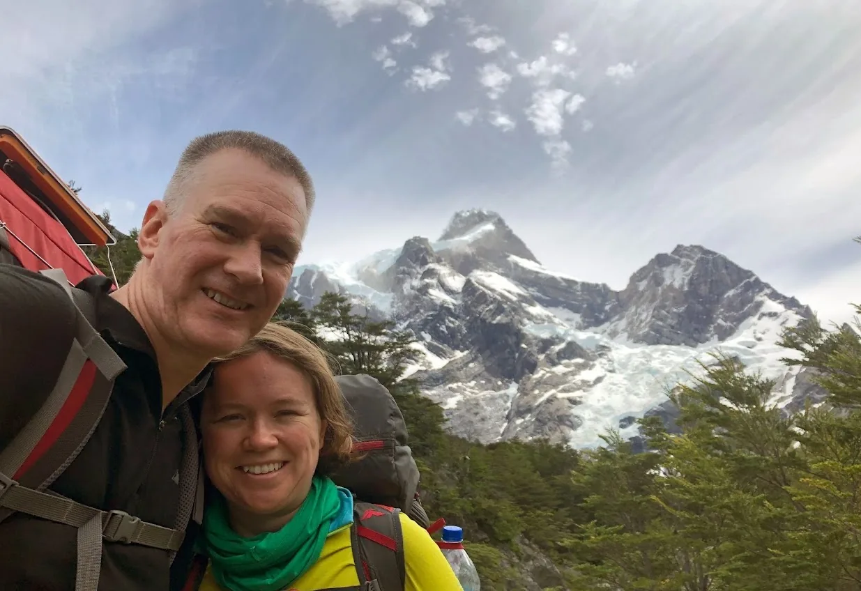
Happy bushwalking!