

How do I find the path?
Click on the map, it is powered by open street map and shows you where the path is - you can click on the navigator icon to show you where you are and check if you are on the right track.
Should I do the walk in the beginning of August or later in September?
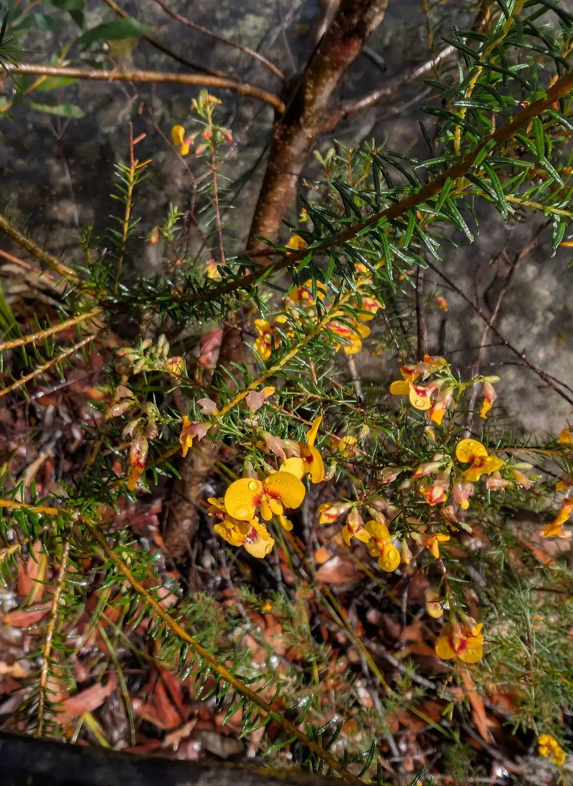
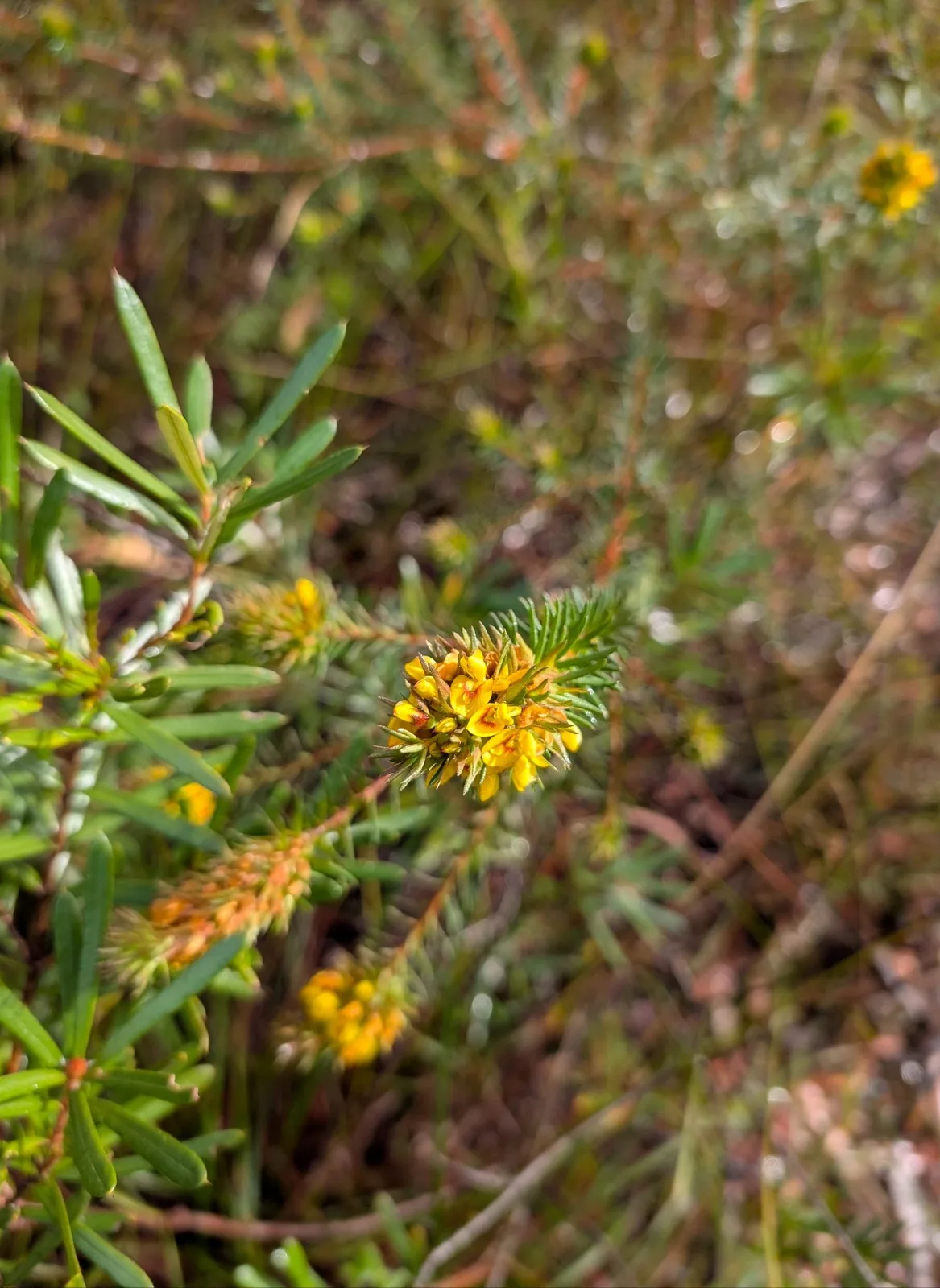
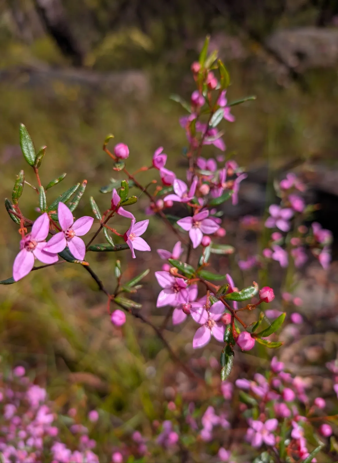
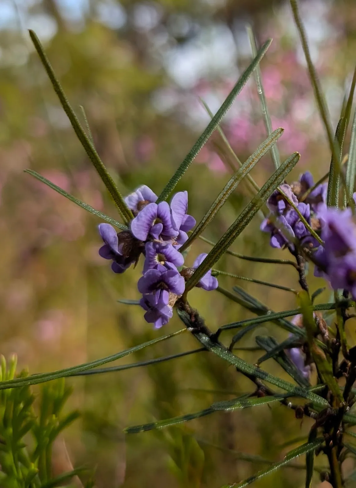
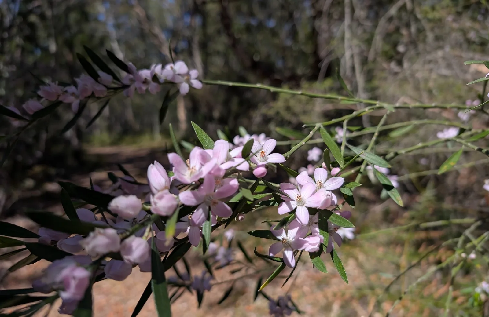
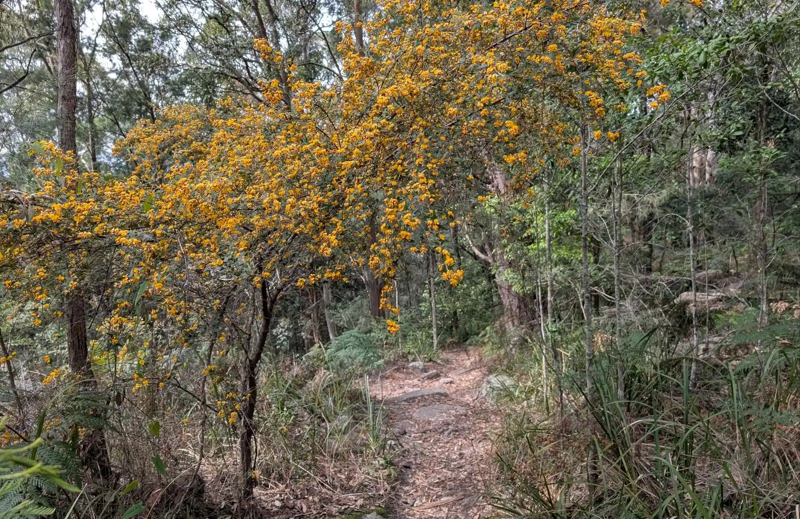
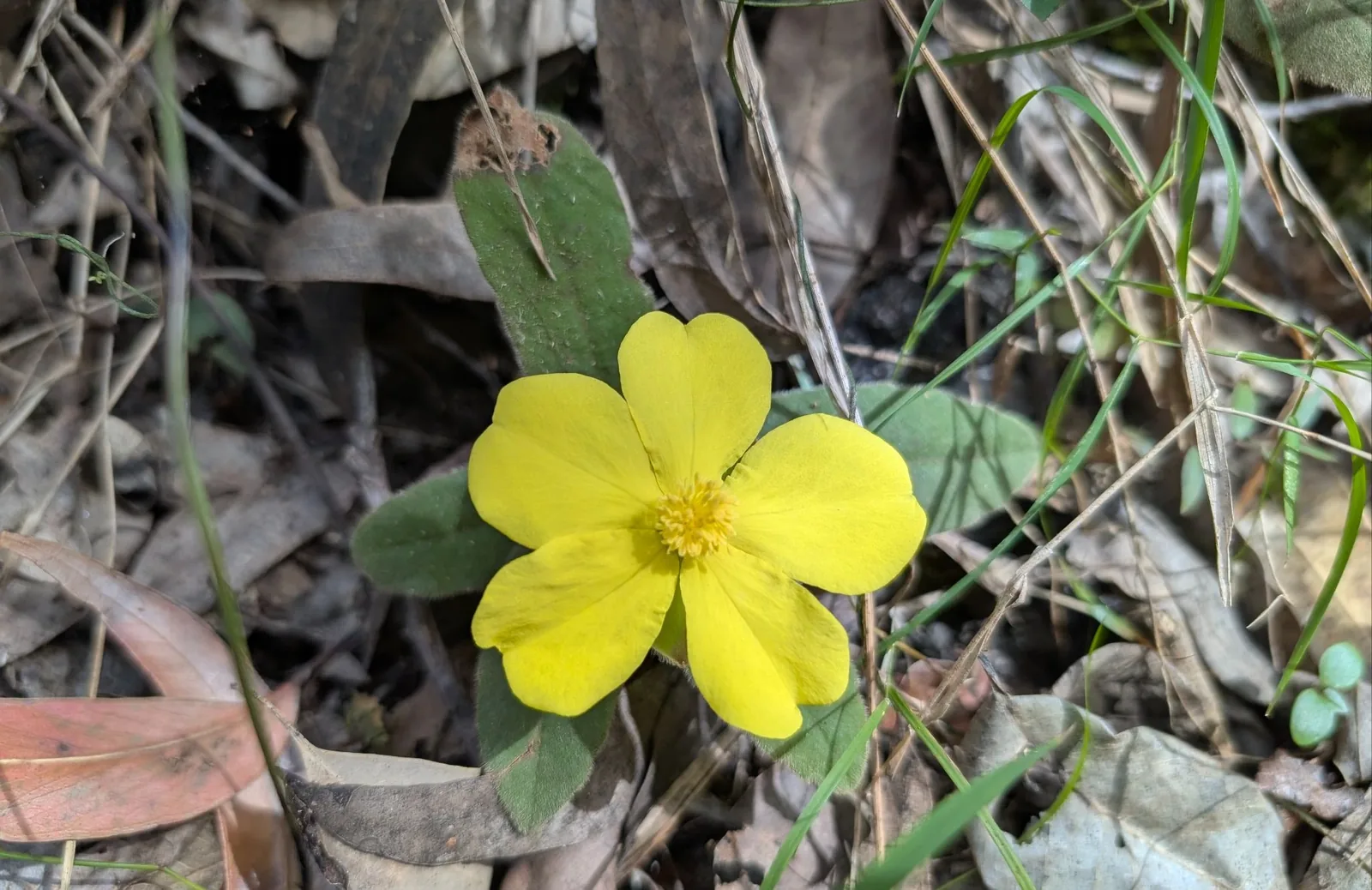
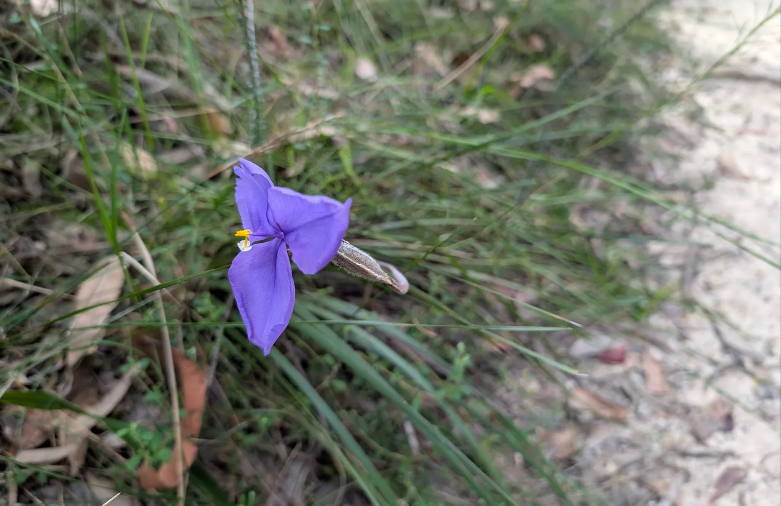
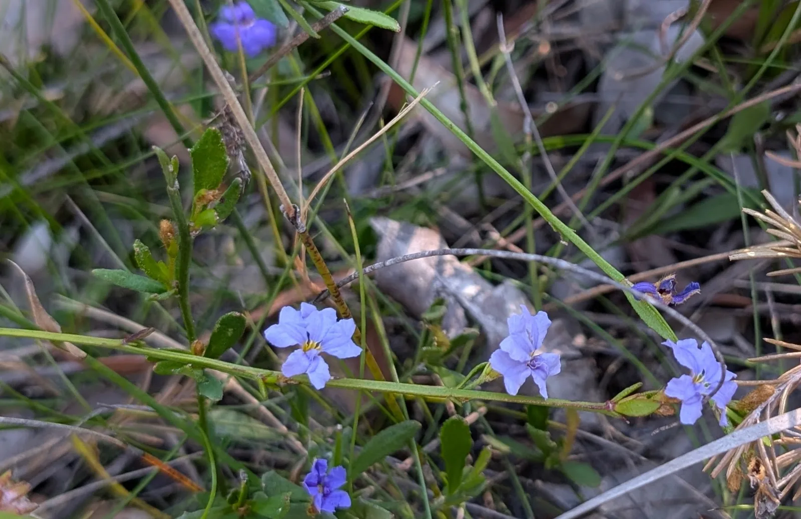
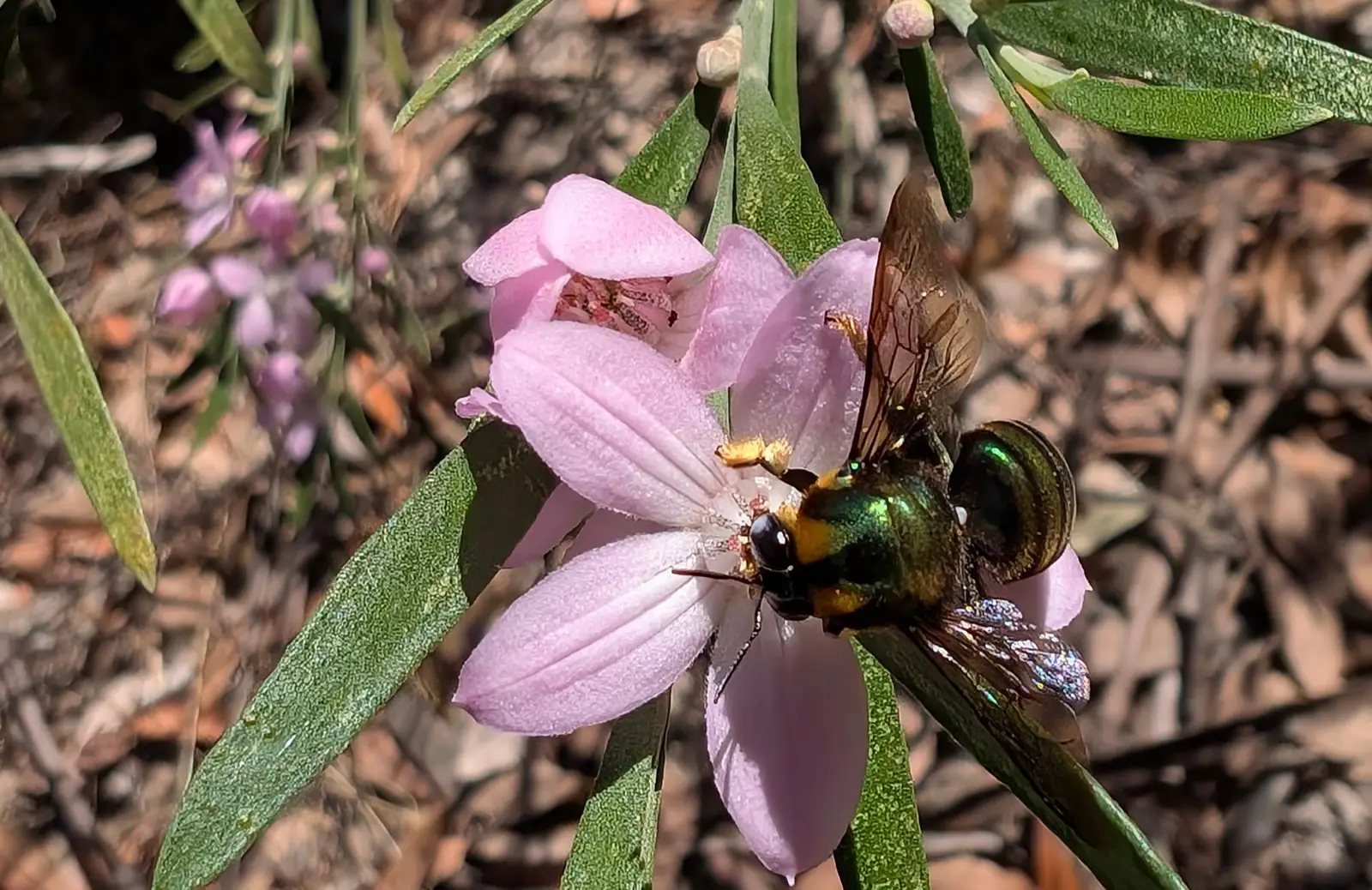
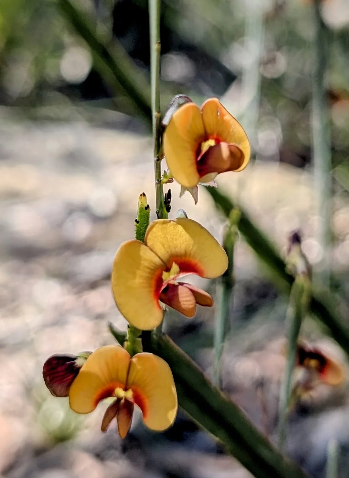
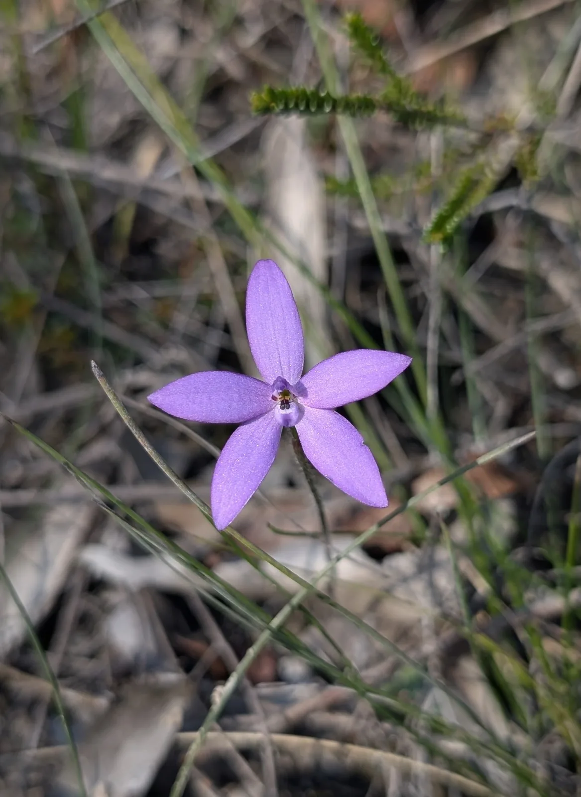
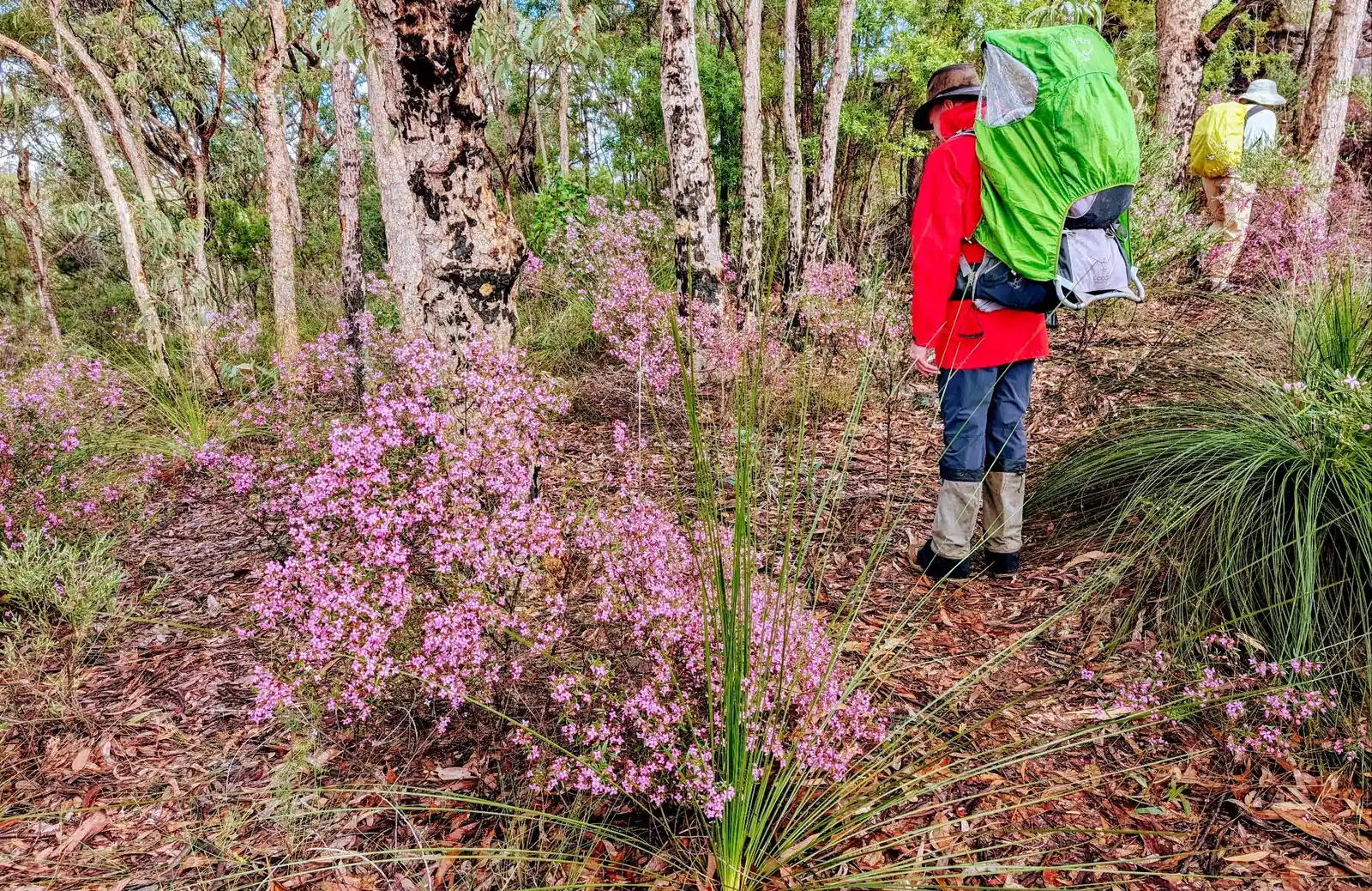
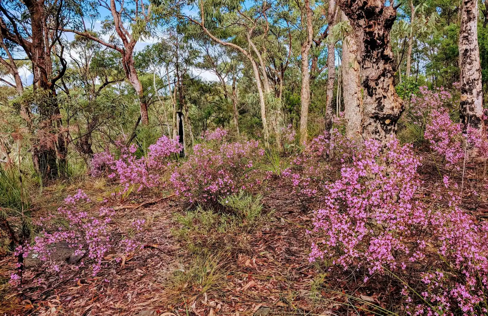
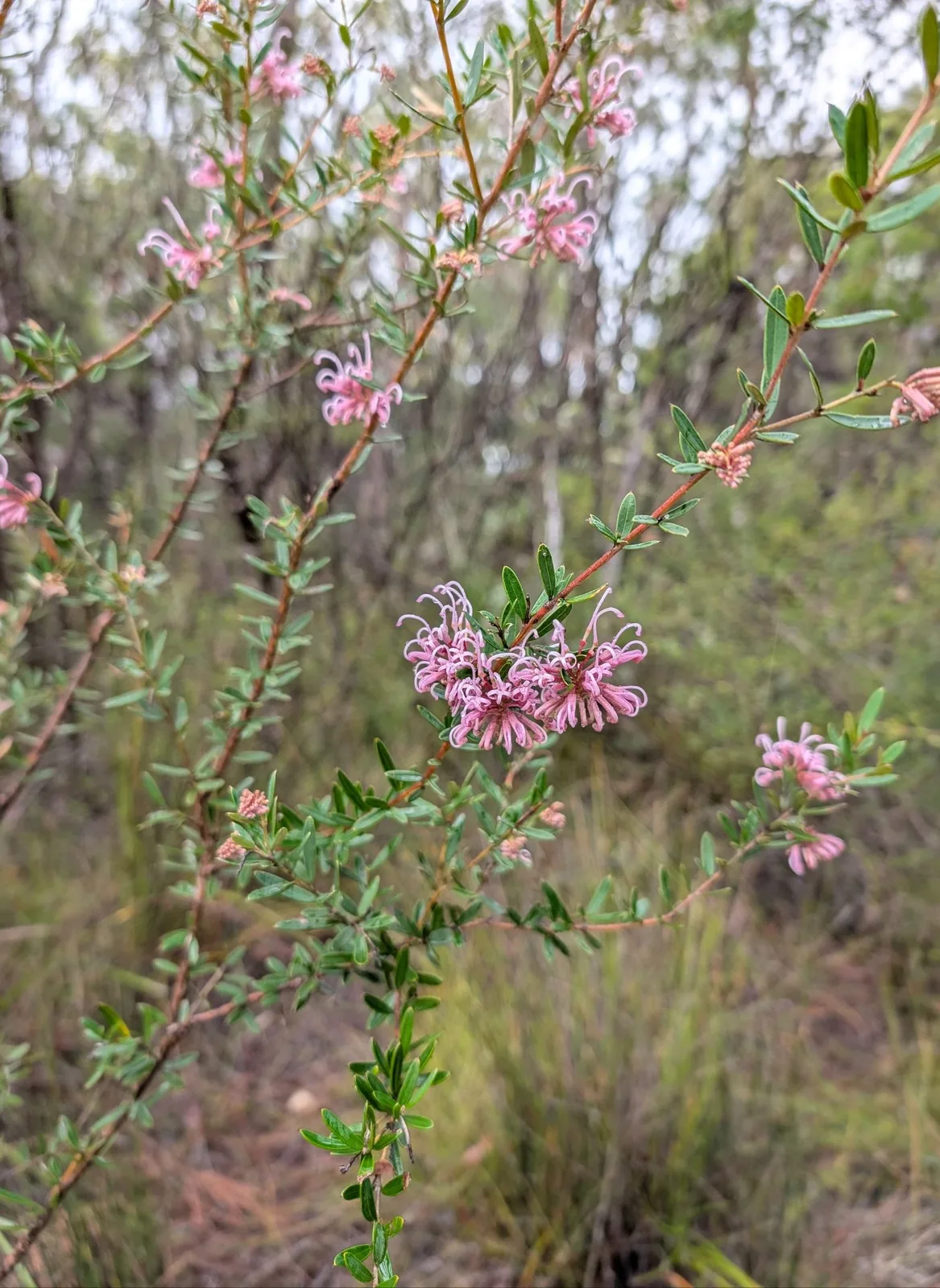
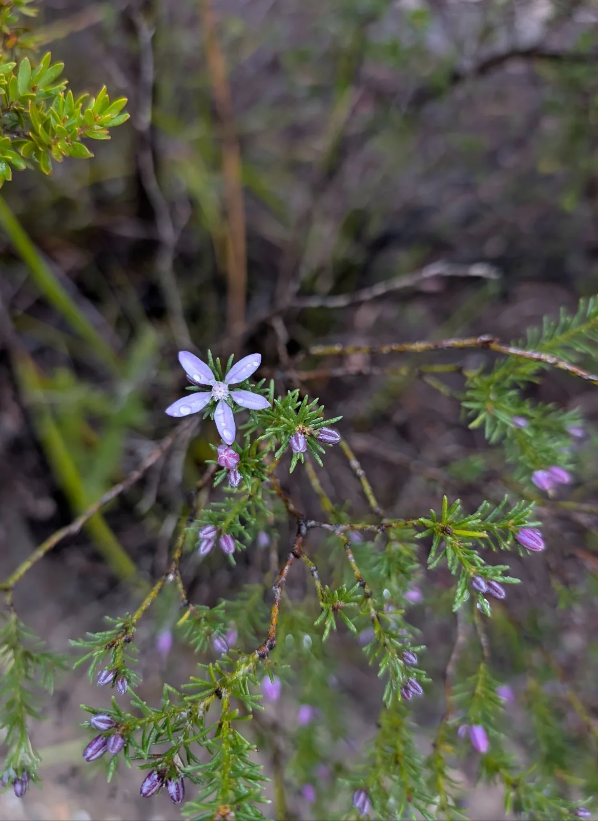
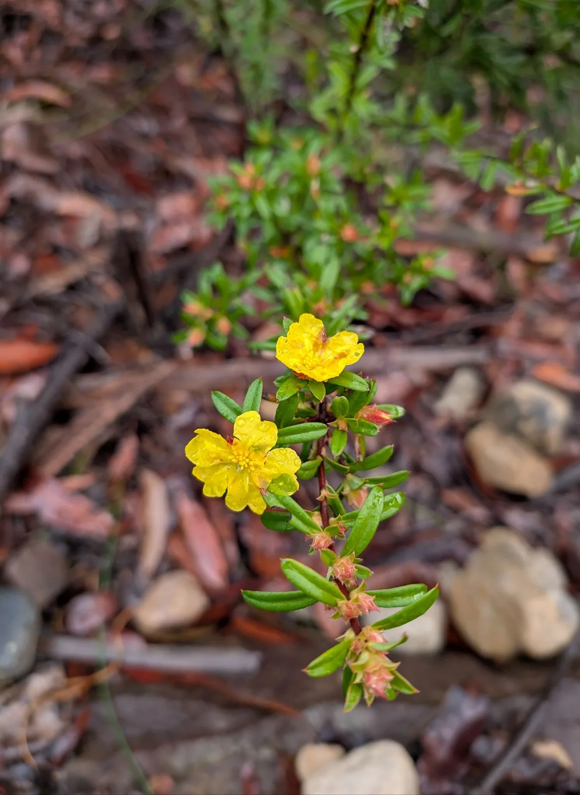
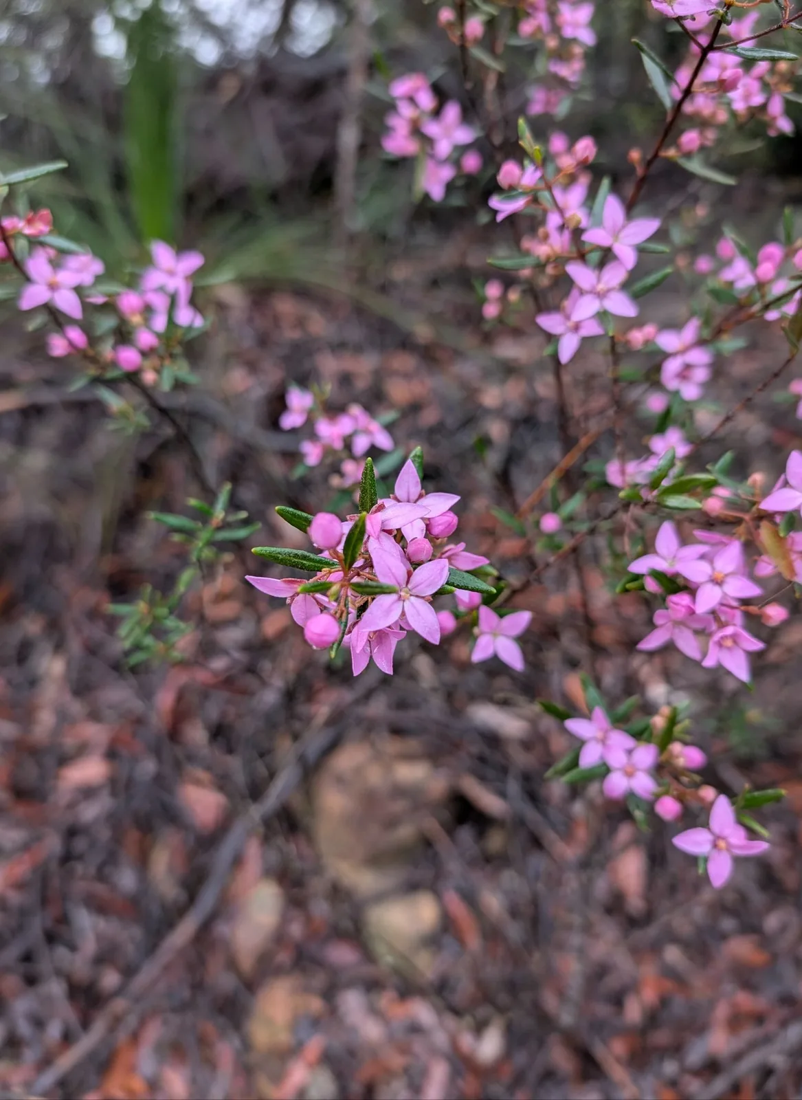
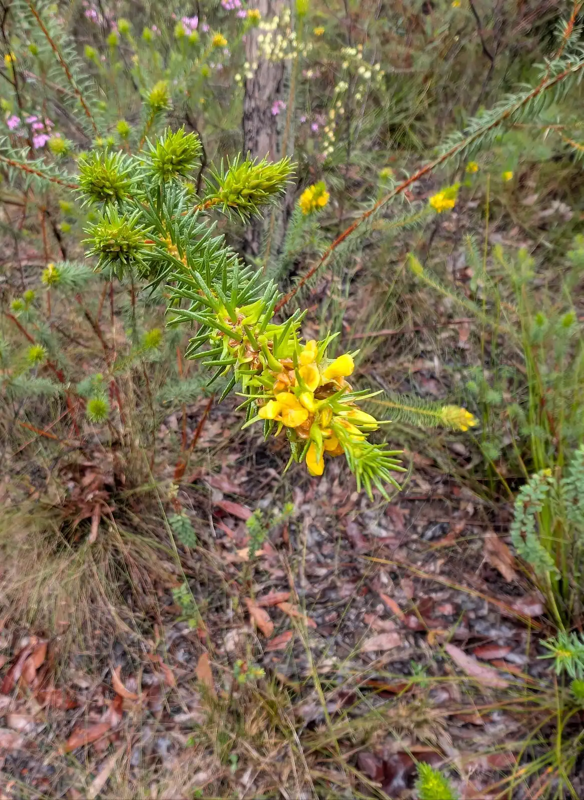
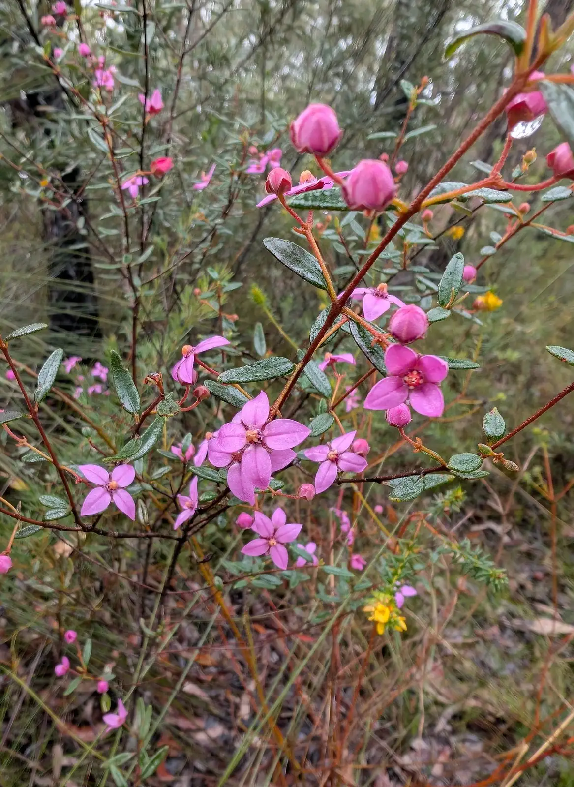
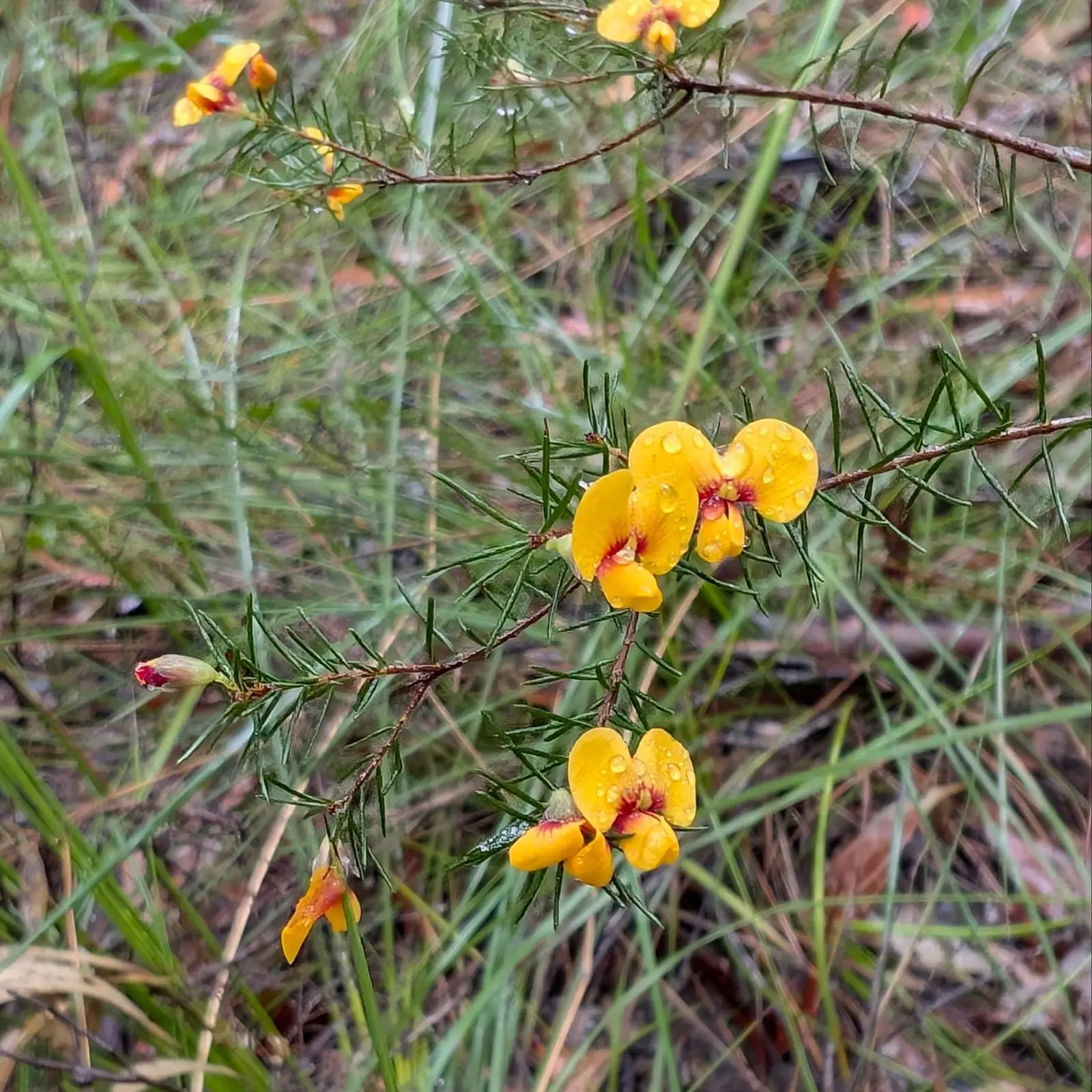
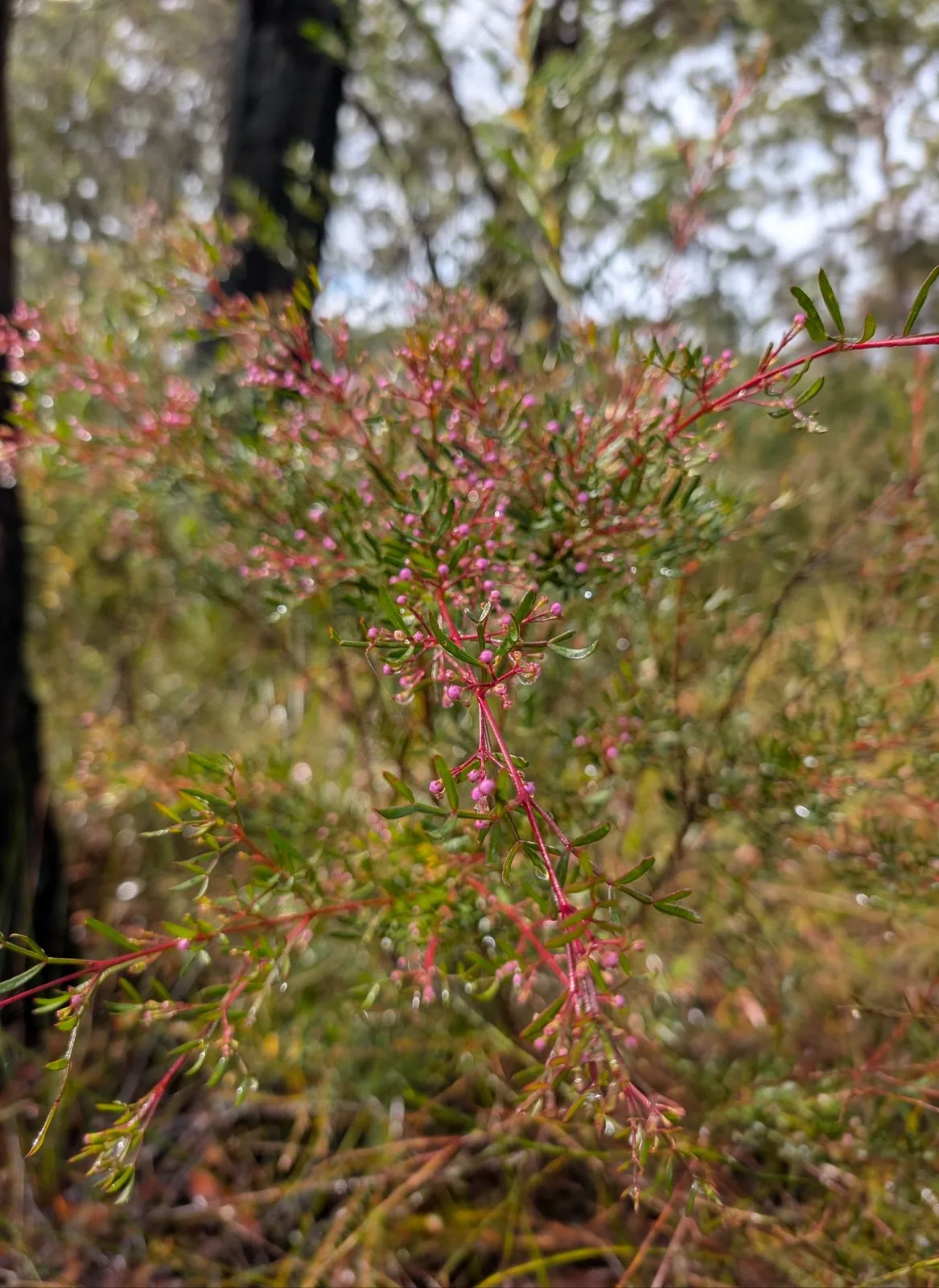
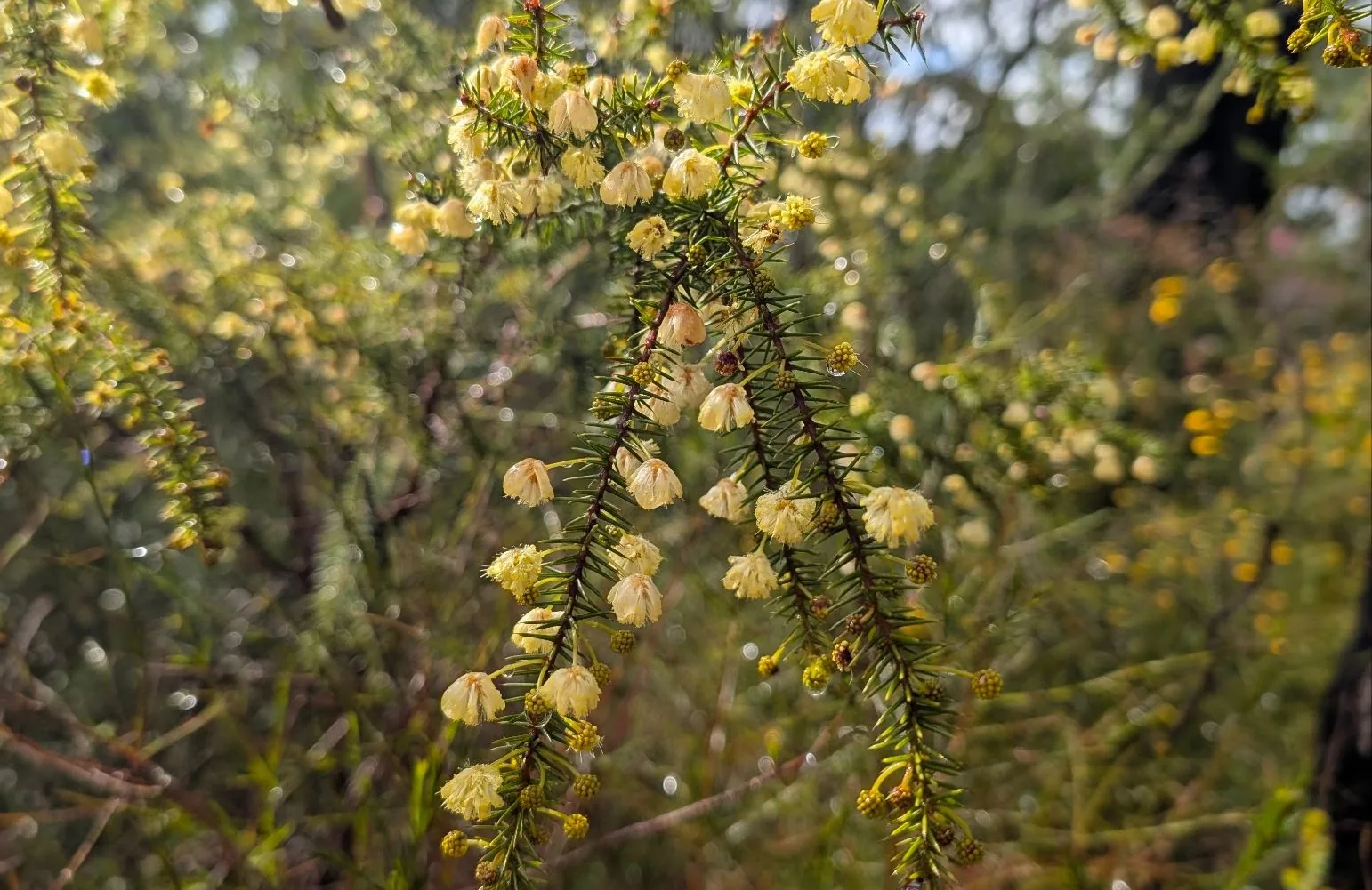
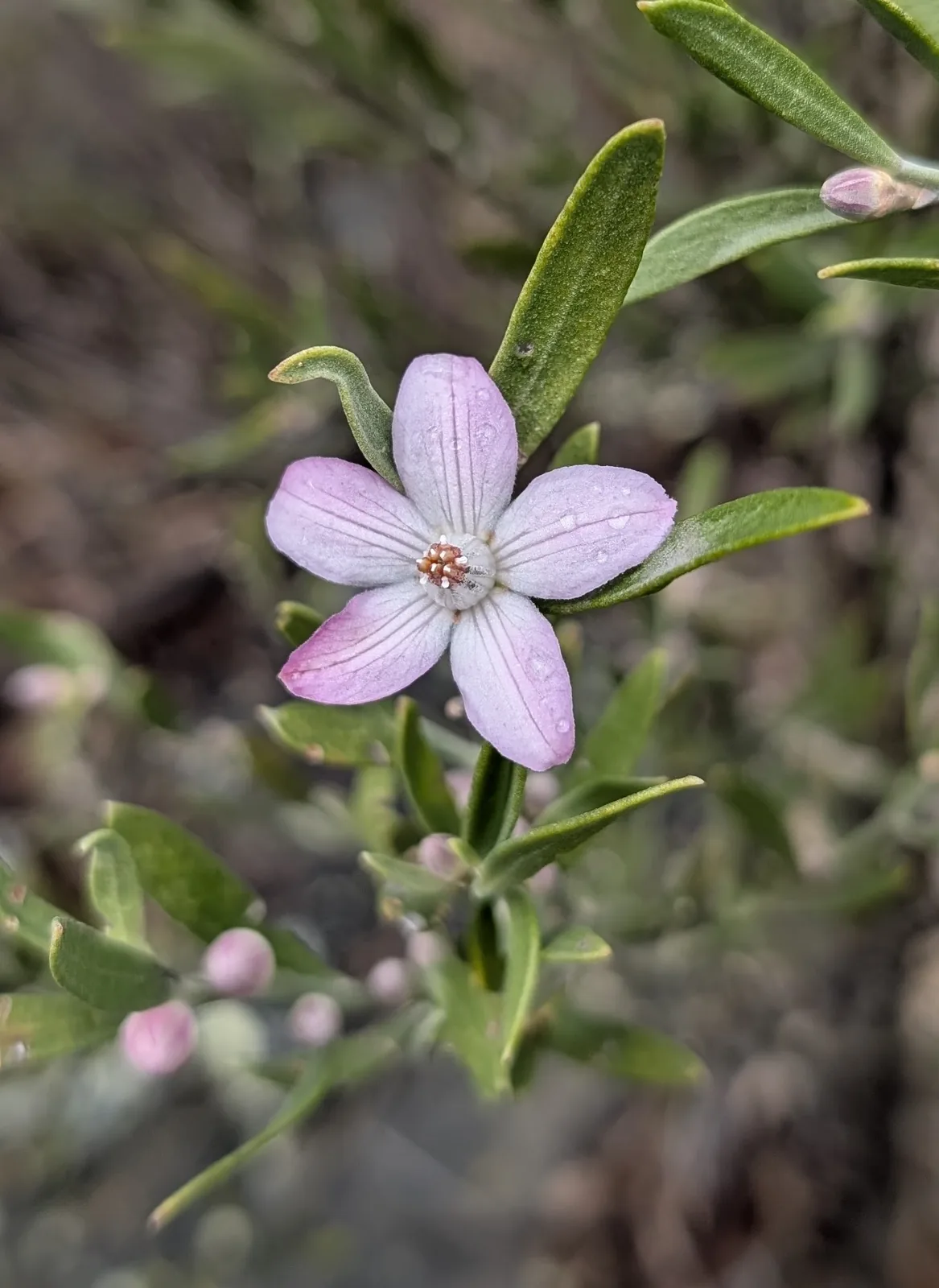
You'll see different wildflowers at different times. The four leafed purple flowers open earlier so that will be a pop of colour in August, while waratahs and some other flowers won't come out until later. And of course its a bit dependent on the temperature and weather that year as well. We recommned both, book at the start and at the end so that you see all the variety you can.
What Should I Bring?
Bring everything that we recommend in our day packing guide. This is what is on it:
Here is a link to the full checklist of what to take for this day hike.
Should I go clockwise or anti-clockwise?
We'd recommend anti-clockwise because so you get the most stunning views first.
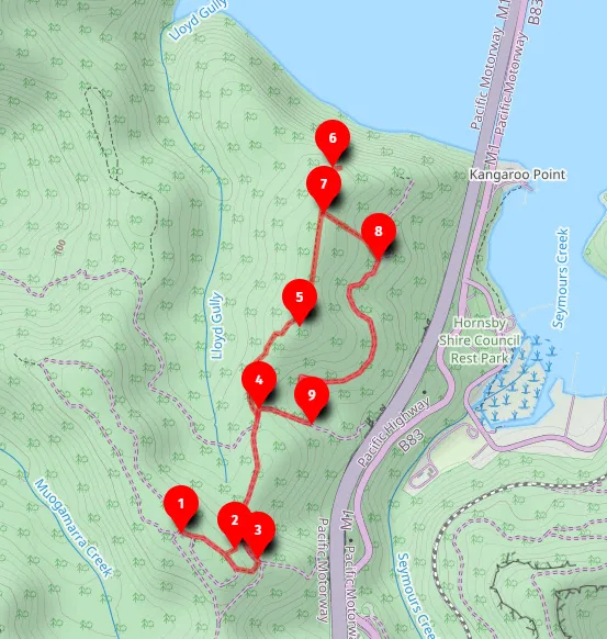
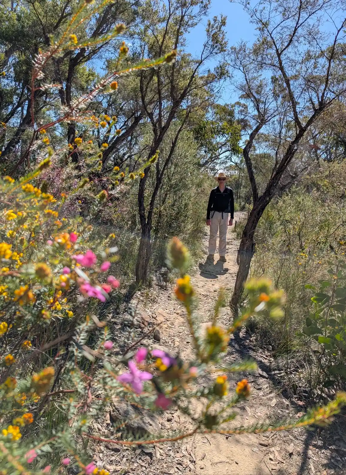
Where is the trail?
- Start at Muogamara Information Centre, there are volunteers and national park staff who will point you in the right direction: -33.553466995845405, 151.18656763491936 Google Maps Link
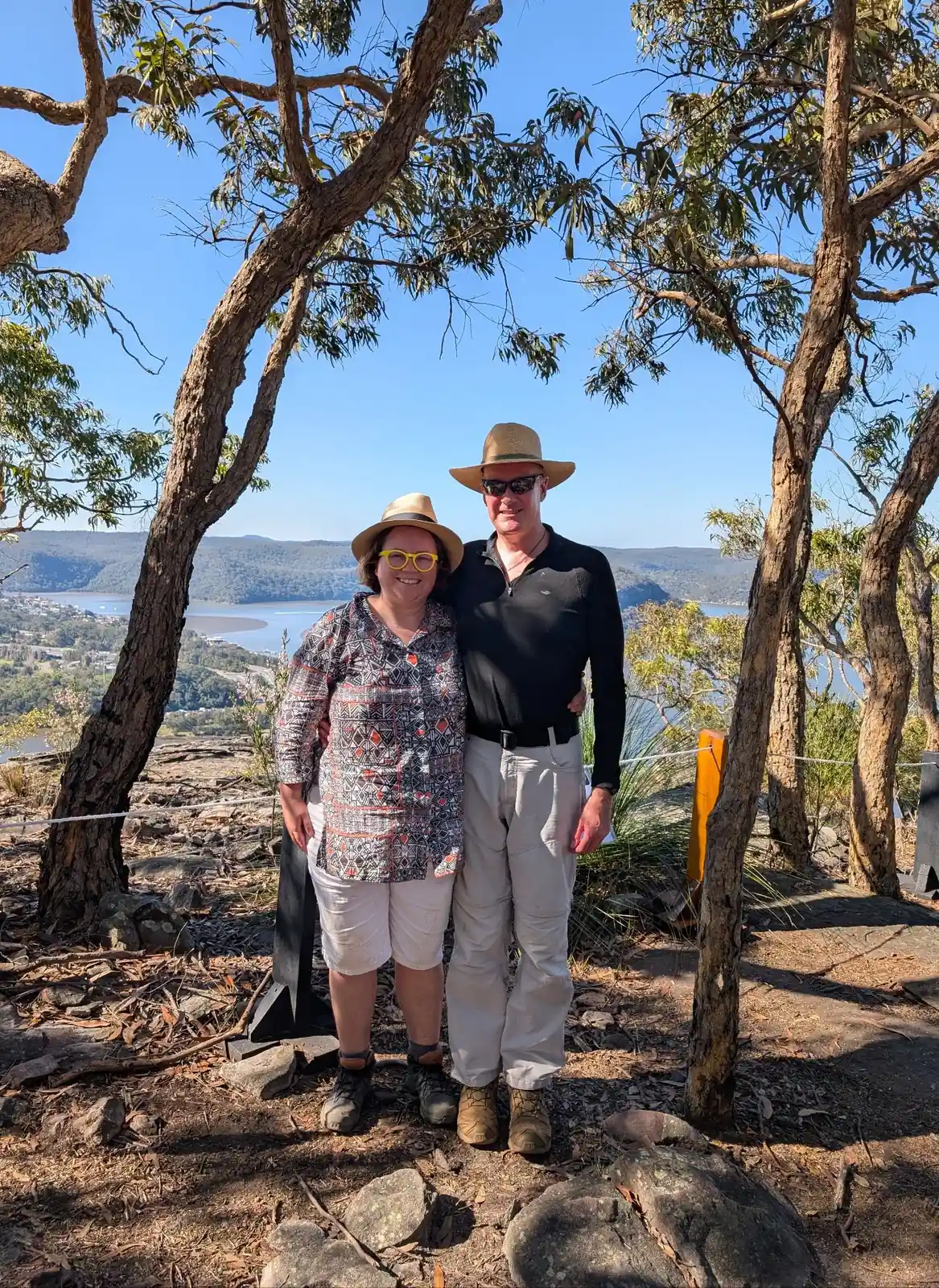
- Head downhill only a short way and be rewarded with JD Tipper Lookout, stunning views across the Hawkesbury: -33.55390217871898, 151.1886024036804 Google Maps Link
- Head downhill and turn left along the fire trail: -33.55431852116143, 151.18938432708902 Google Maps Link
- Turn left onto the bushwalking track: -33.54952389848723, 151.1894046509654 Google Maps Link
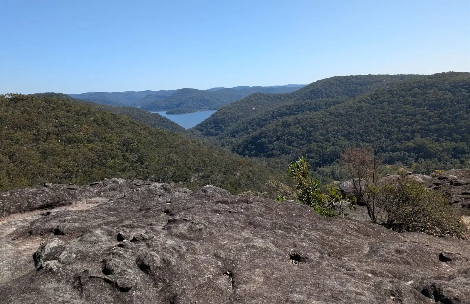
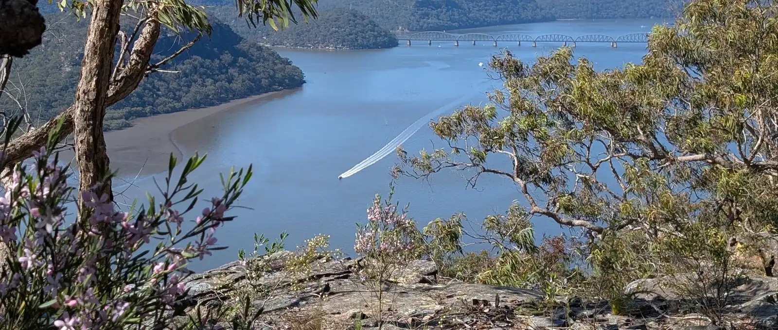
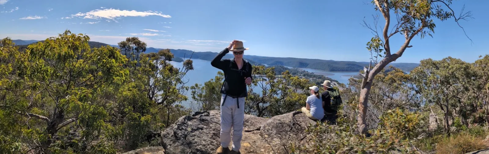
- Head up to Lloyd Trig for lovely views: -33.54640467994536, 151.19106123694655 Google Maps Link
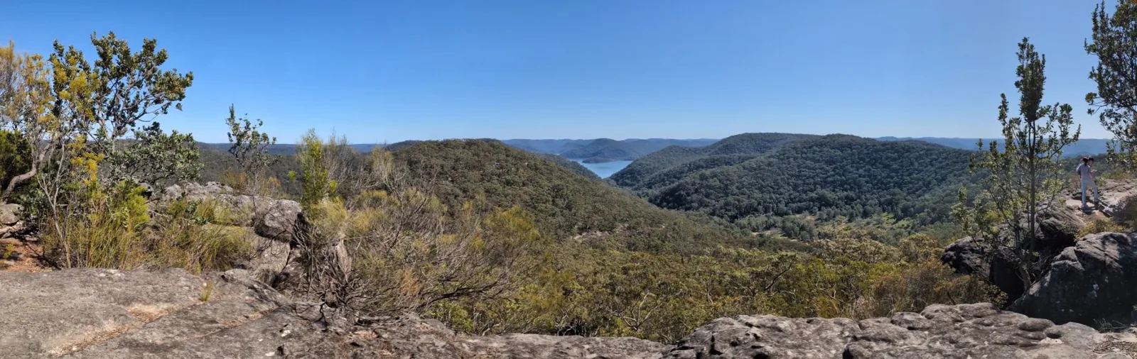
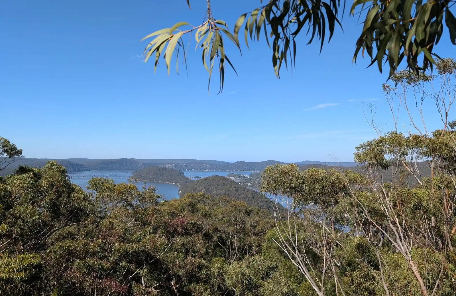
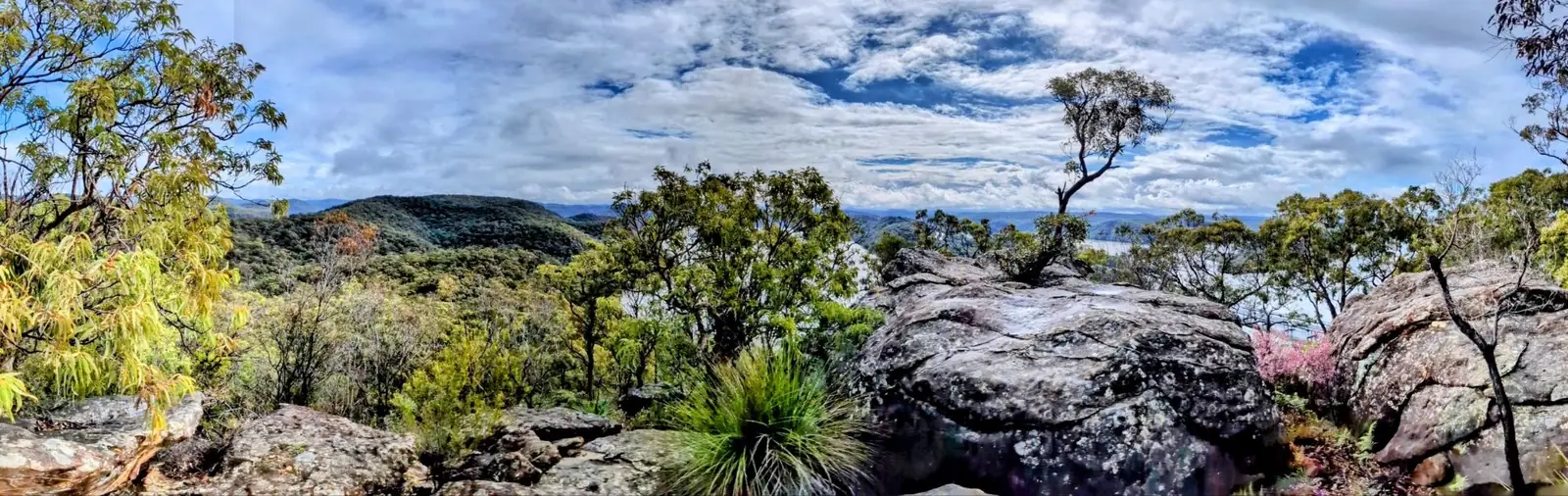
- Yay, you've reached Deerubbin Lookout for more incredible views: -33.541797428612234, 151.1926333298592 Google Maps Link
- Head back along the track and then turn left down the hill: -33.54301, 151.19202 Google Maps Link
- Turn right at the bottom of the path at the firetrail: -33.54451, 151.19411 Google Maps Link
- Head right back up the hill and retrace your steps to the information centre: -33.549874348595765, 151.1914132593428 Google Maps Link
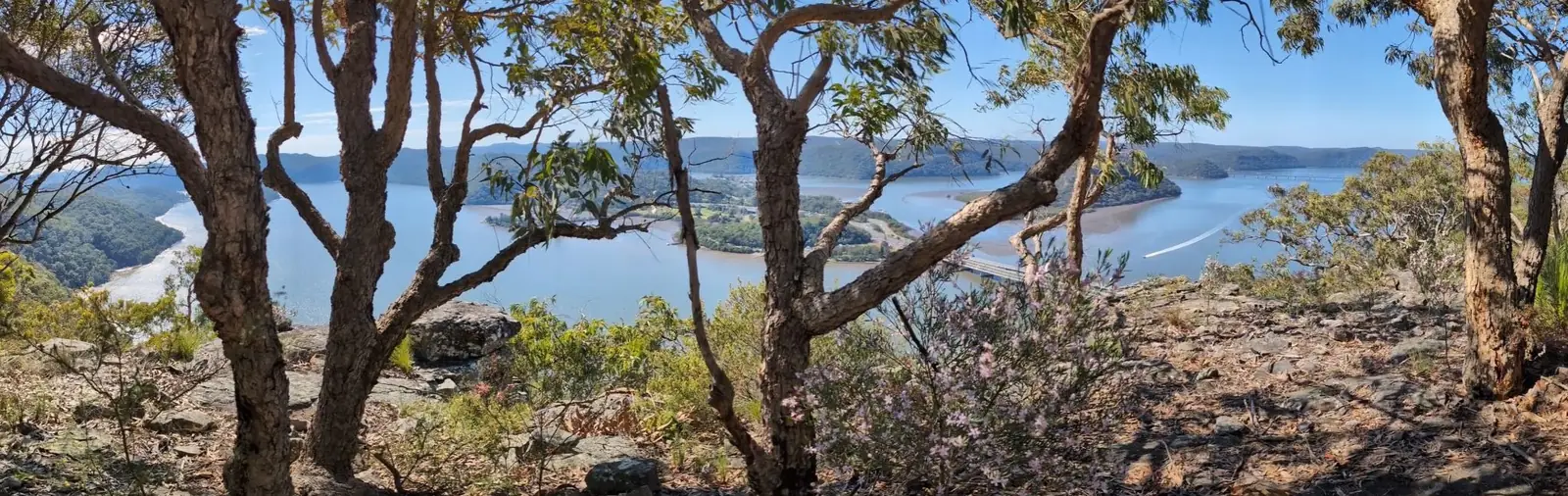
View from Tipper Lookout
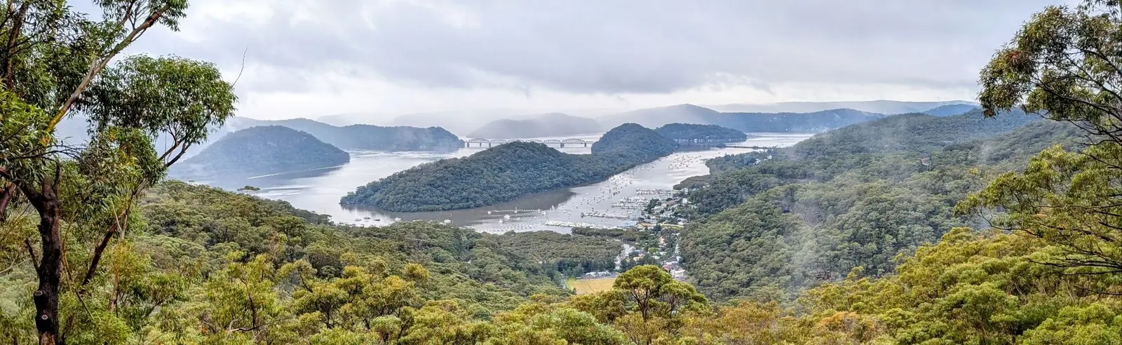
View from Lloyd Trig
What Should I Bring?
Bring everything that we recommend in our day packing guide. This is what is on it:
Hygene
- Hand sanitiser
- Insect repellant
- Sunscreen
Cooking
- Salt and pepper
- Wraps for lunch and ingredients
- Ziplock bags for rubbish
Clothing (store in drybags)
- Fresh change of clothes in the car to get changed into
- Polar Fleece (if forecast to be cold only)
- Down Jacket (if forecast to be cold only)
- Rain Jacket (if forecast for rain only)
- Beanie (if forecast to be cold only)
- Buff (if forecast to be cold only)
- Gloves (if forecast to be cold only)
- Lipbalm
- Hiking Sticks with gaffa tape on poles that can be reused to fix things
- Head torch (just in case)
Navigation
- Phone for navigation with alltrails map and avenza map preloaded
- PLB
First Aid Kit
- Compression Bandage
- Saline Pack for Wound Care
- Pointed Tweezers and Tick Removers
- Alcohol Wipes
- A Range of Bandages and Dressings
- Bandaids (most used item)
- Space Blanket
- Iodine for Antiseptic Use
- Pain Relievers, antihistamines and Medications such as gastrostop
- Cream for bites
- Steri Strips
- Chlorine tablets in case the water filter breaks
- Surgical Tape for Emergency Repairs
- Small Scissors and Tweezers
- Crepe Bandage (Small)
- Compeed Blister Bandages
- Freeze of tick spray
- Super glue
- Glad wrap
- Hydrolytes
Here is a link to the full checklist of what to take for this day hike.
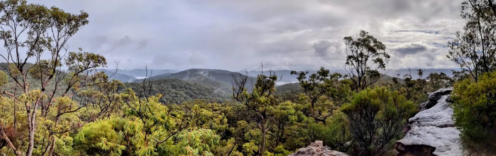
View from Lloyd Trig
How the Friends Find Me App Fits In
Apps like Avenza, AllTrails, and Gaia GPS open up the world of bushwalking and exploration, allowing you to confidently navigate trails, discover new paths, and track your progress. But as you embrace these tools to find the right track, it's also important to consider your safety and how your loved ones can stay connected with you while you explore.
That’s where the Friends Find Me app comes in. Just like these bushwalking apps help you navigate the wilderness, Friends Find Me is designed to ensure that your friends and family always know where you are. If something goes wrong—whether you lose signal, get injured, or go off track—the app sends your location to your trusted contacts, so they can come to your aid or alert emergency services.
While Avenza, AllTrails, and Gaia GPS help you find your way on your journey, Friends Find Me helps your loved ones find you if things don’t go as planned. It’s the perfect complement to these powerful bushwalking apps, allowing you to explore with the confidence that your safety is always a top priority.
So, as you head out on your next adventure, take advantage of these apps to find the right track—and use Friends Find Me to make sure your loved ones know you’ll be coming home safe.
Happy bushwalking!