How do I find the path?
Click on the map, it is powered by open street map and shows you where the path is - you can click on the navigator icon to show you where you are and check if you are on the right track.
Should I do the walk in the beginning of September or later in October?
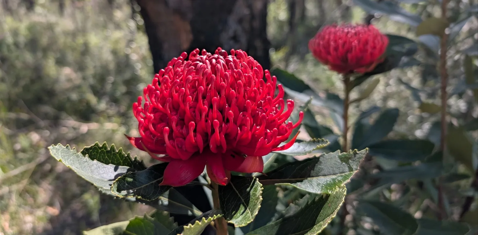
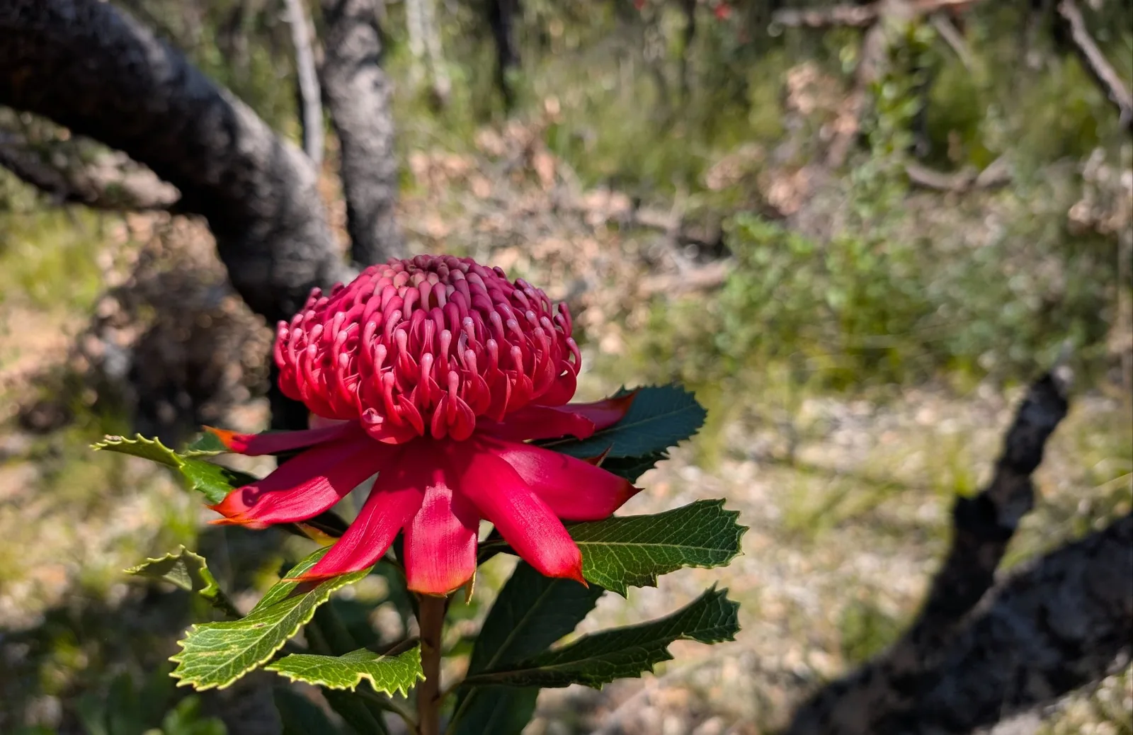
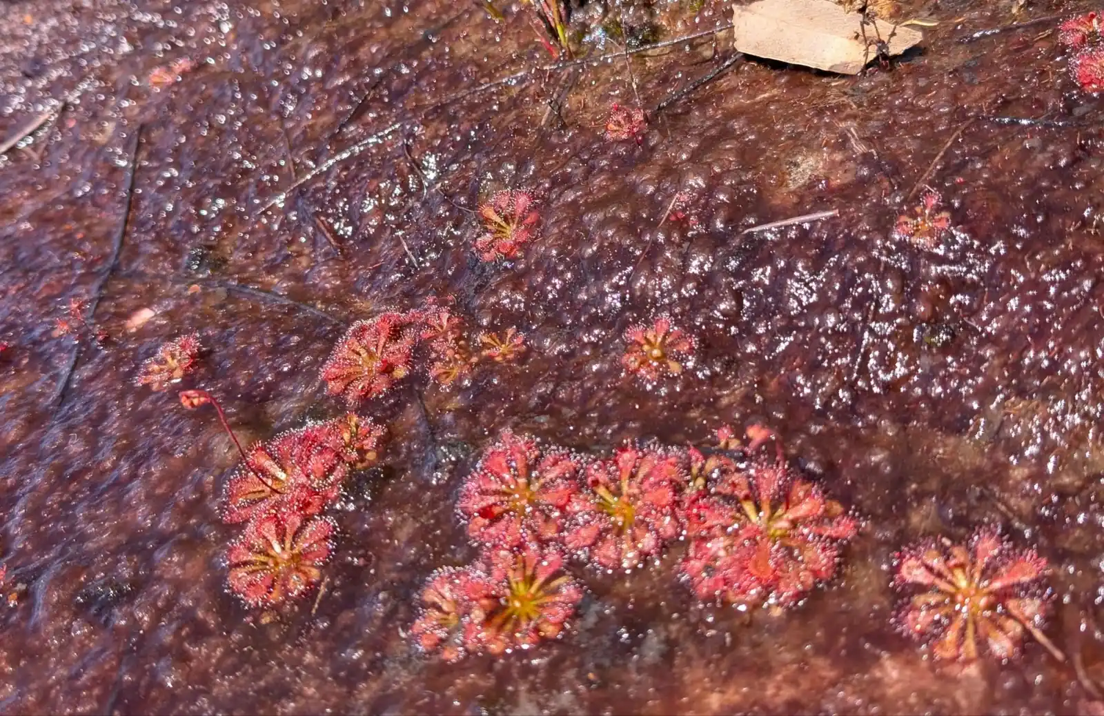
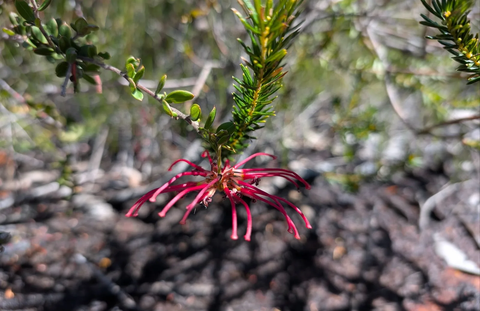
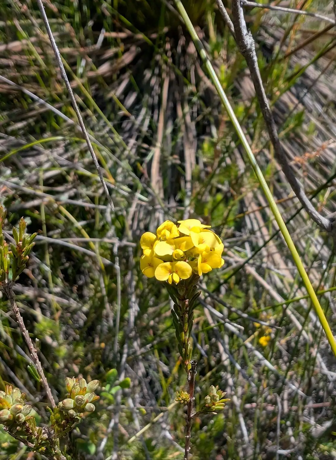
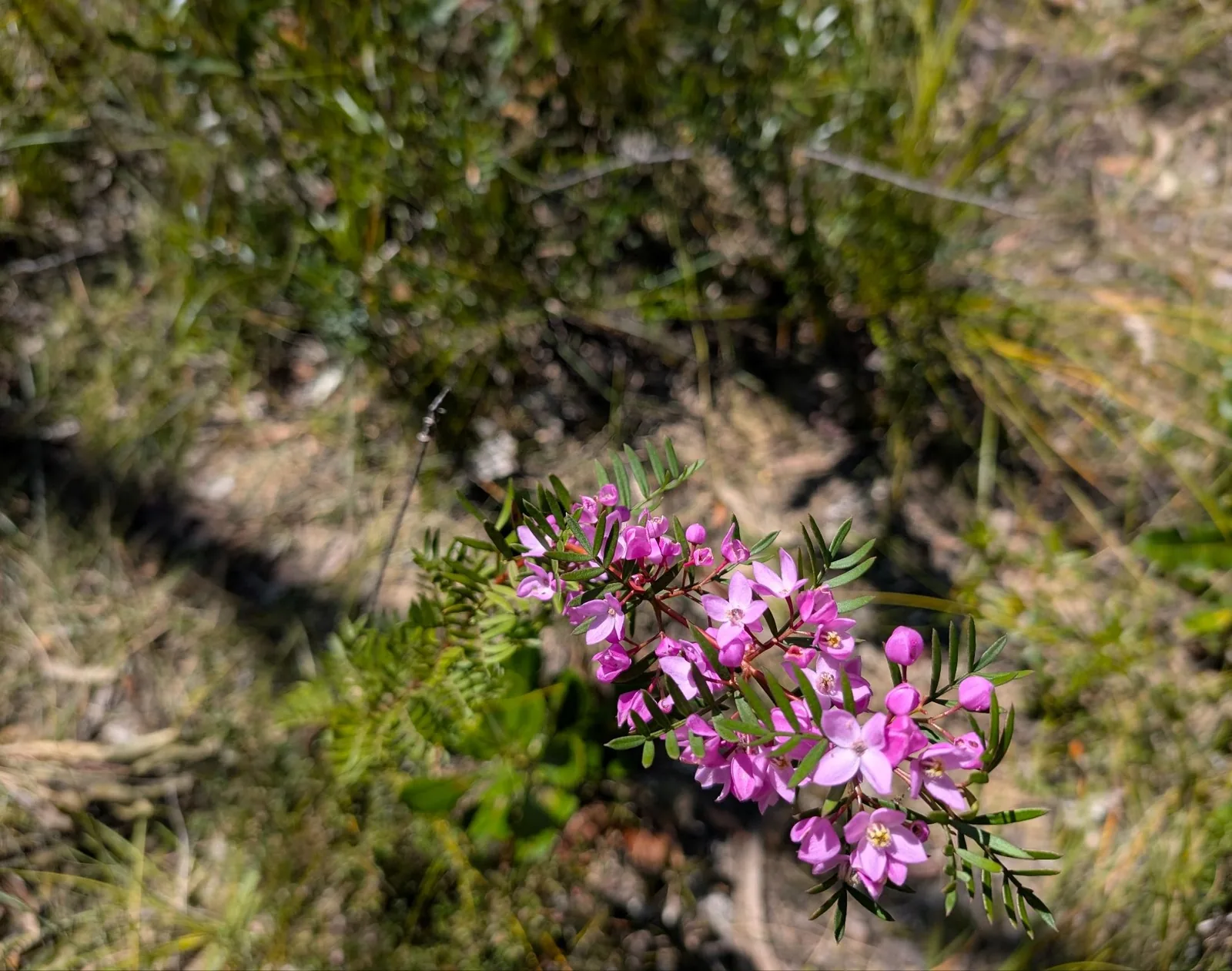
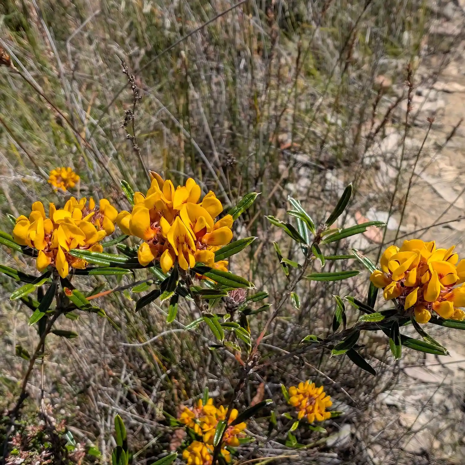
You'll see different wildflowers at different times. It depends on the season, they are opten in the peak at around the 21st of September, the spring equinox.
What Should I Bring?
Bring everything that we recommend in our day packing guide. This is what is on it:
Here is a link to the full checklist of what to take for this day hike.
Should I start at Patonga or Warra Trig Road?
If you would like to get your heart rate up or don't like going downhill, we'd recommend starting at Patonga. If you like going downhill, we recommend starting at Warra Trig Road.
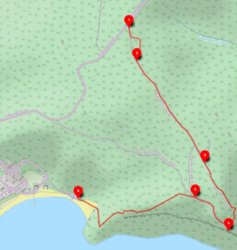
Where is the trail?
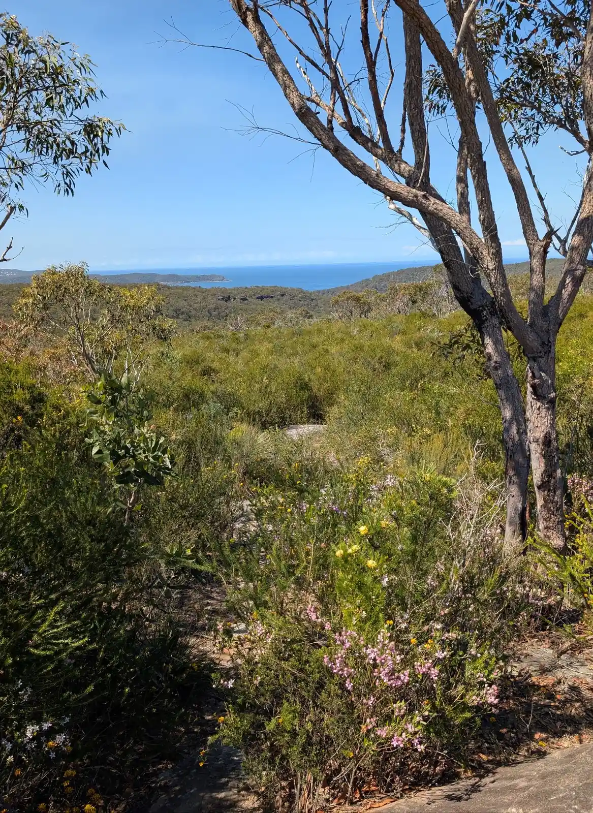
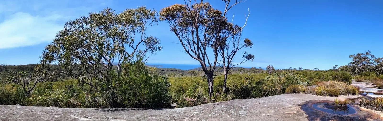
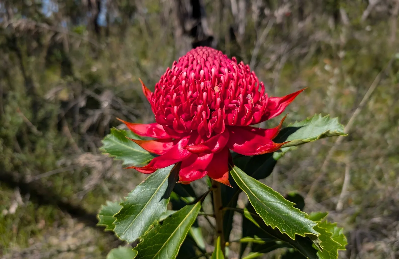
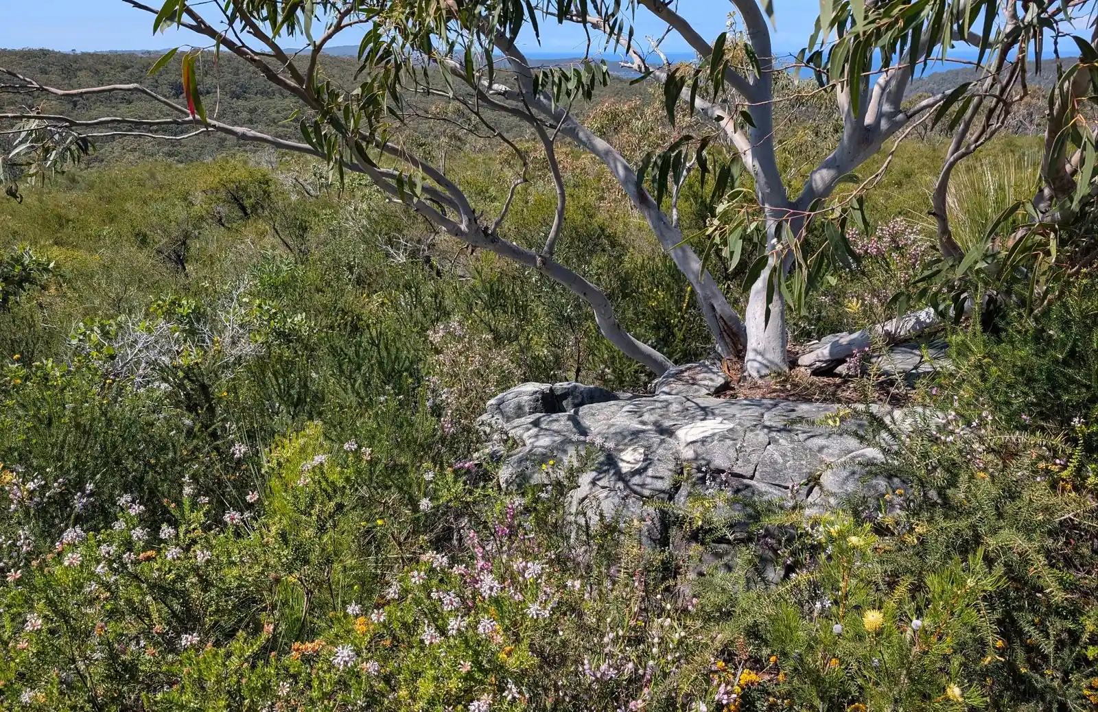
- Start at Warrah Trig Road, the warratahs are visible from here to the south, after looking at these beauties, head to the north to explore the rock platforms and the beautiful views there as well as the pleothora of wildflowers: -33.54029248519095, 151.28160011123572 Google Maps Link
- Head back to the road to walk to Warra Trig: -33.54443197000361, 151.28386782755385 Google Maps Link
- Hooray, you have reached Warra Trig: -33.549963329697185, 151.2880410384632 Google Maps Link
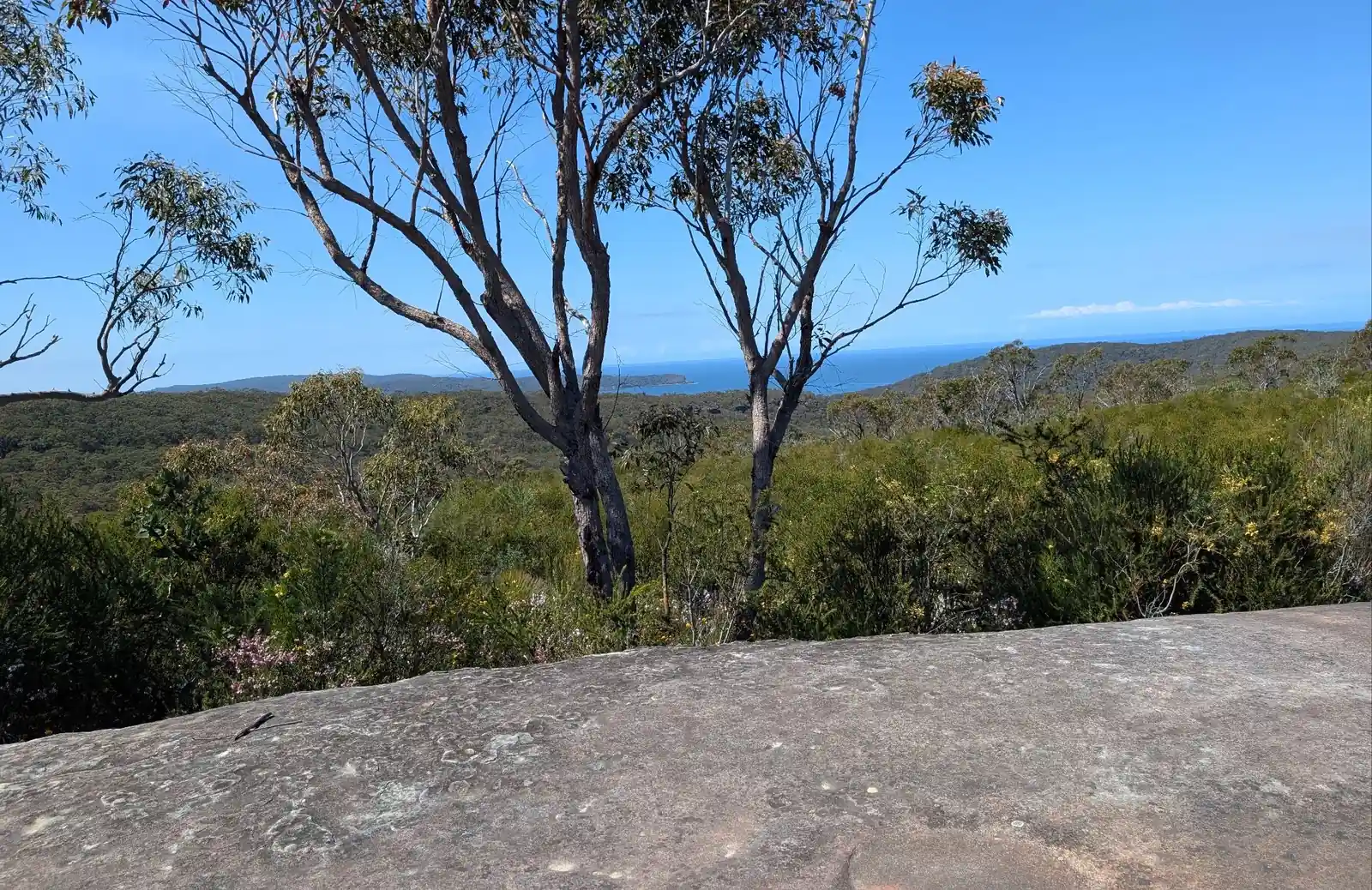
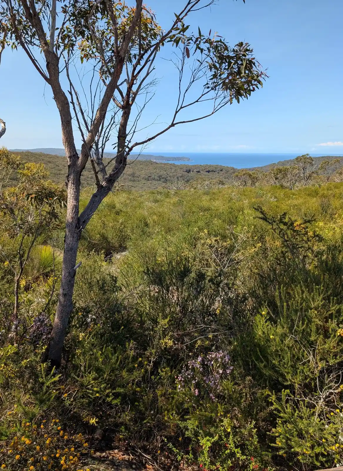
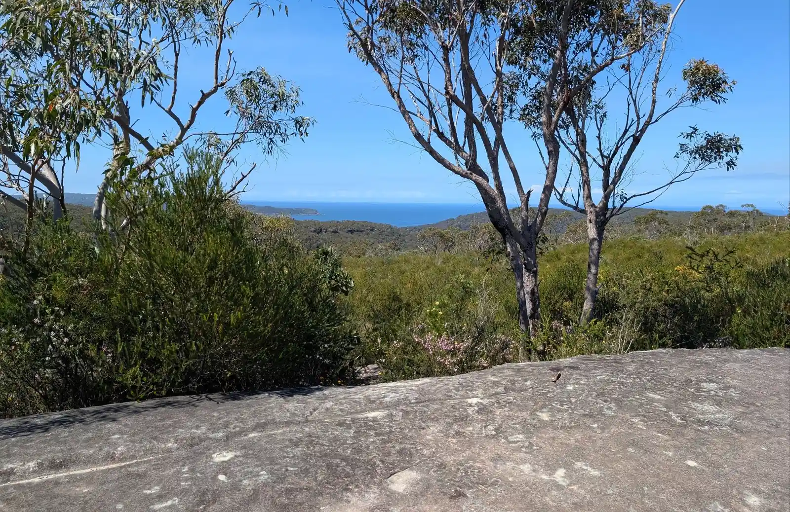
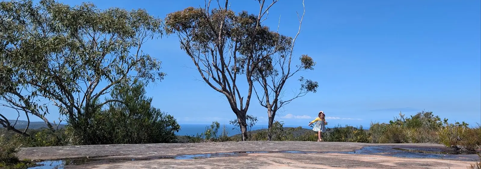
- This is the stunning Warrah Lookout: -33.55279299151815, 151.2889963449349 Google Maps Link
- Head down the hill to Patonga: -33.55069978602425, 151.28651450450525 Google Maps Link
- Yay, you've Patonga, the pub there is a great place to get lunch: -33.55080049735787, 151.27790041097154 Google Maps Link
What Should I Bring?
Bring everything that we recommend in our day packing guide. This is what is on it:
Hygene
- Hand sanitiser
- Insect repellant
- Sunscreen
Cooking
- Salt and pepper
- Wraps for lunch and ingredients
- Ziplock bags for rubbish
Clothing (store in drybags)
- Fresh change of clothes in the car to get changed into
- Polar Fleece (if forecast to be cold only)
- Down Jacket (if forecast to be cold only)
- Rain Jacket (if forecast for rain only)
- Beanie (if forecast to be cold only)
- Buff (if forecast to be cold only)
- Gloves (if forecast to be cold only)
- Lipbalm
- Hiking Sticks with gaffa tape on poles that can be reused to fix things
- Head torch (just in case)
Navigation
- Phone for navigation with alltrails map and avenza map preloaded
- PLB
First Aid Kit
- Compression Bandage
- Saline Pack for Wound Care
- Pointed Tweezers and Tick Removers
- Alcohol Wipes
- A Range of Bandages and Dressings
- Bandaids (most used item)
- Space Blanket
- Iodine for Antiseptic Use
- Pain Relievers, antihistamines and Medications such as gastrostop
- Cream for bites
- Steri Strips
- Chlorine tablets in case the water filter breaks
- Surgical Tape for Emergency Repairs
- Small Scissors and Tweezers
- Crepe Bandage (Small)
- Compeed Blister Bandages
- Freeze of tick spray
- Super glue
- Glad wrap
- Hydrolytes
Here is a link to the full checklist of what to take for this day hike.
How the Friends Find Me App Fits In
Apps like Avenza, AllTrails, and Gaia GPS open up the world of bushwalking and exploration, allowing you to confidently navigate trails, discover new paths, and track your progress. But as you embrace these tools to find the right track, it's also important to consider your safety and how your loved ones can stay connected with you while you explore.
That’s where the Friends Find Me app comes in. Just like these bushwalking apps help you navigate the wilderness, Friends Find Me is designed to ensure that your friends and family always know where you are. If something goes wrong—whether you lose signal, get injured, or go off track—the app sends your location to your trusted contacts, so they can come to your aid or alert emergency services.
While Avenza, AllTrails, and Gaia GPS help you find your way on your journey, Friends Find Me helps your loved ones find you if things don’t go as planned. It’s the perfect complement to these powerful bushwalking apps, allowing you to explore with the confidence that your safety is always a top priority.
So, as you head out on your next adventure, take advantage of these apps to find the right track—and use Friends Find Me to make sure your loved ones know you’ll be coming home safe.
Happy bushwalking!