
About this walk
One of my favourite walks on the coast. There are stunning water views the whole way, and it feels like you have the peninsula to yourself. Tank Cove and its waterfall are stunning too, and there's a little shallow swimming spot near Rocky Ponds Fire Trail.
Directions
- Start at the Brooklyn ferry terminal. You can catch a train to Hawkesbury Station, right next to it: -33.5461, 151.227477 (Google Maps)
- Catch a ferry to Little Wobby (see the ferry timetable). When you arrive, head right (south). The path weaves in and out of people's yards, so please be respectful: -33.54992, 151.249385 (Google Maps)
- Keep heading south until you reach the path: -33.56759, 151.260387 (Google Maps)
- Head north along the path. It is often faint and marked with tape, so keep a close eye out. This part is for experienced bushwalkers: -33.5576682, 151.2547874 (Google Maps)
- Continue north, veering right to stay on the track: -33.5547982, 151.252609 (Google Maps)
- Continue north, veering right to stay on the track: -33.554167, 151.252421 (Google Maps)
- You've reached Tank Creek. Carry on along the track to walk to Woy Woy, or head left to Tank Cove: -33.52621817, 151.25414371 (Google Maps)
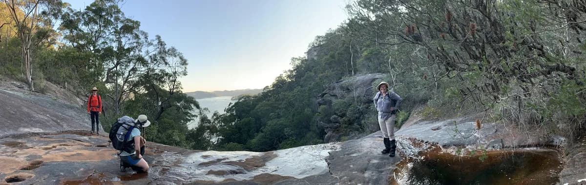
- This is the top of the cliff line, with a beautiful view of the waterfall dropping into the water. You can also follow the right side of the cliff line to find the path down to the beach: -33.52812321, 151.251311 (Google Maps)
- This is the beach at the bottom of the cliff: -33.52868666, 151.25097870 (Google Maps)
- Head back up to the path at step 7 and carry on along the track.
- Head left along the Rocky Ponds Fire Trail: -33.52154933, 151.2584996 (Google Maps)
- Turn left onto the Tunnel Trail: -33.500464819, 151.276845932 (Google Maps)
- Turn left onto the Great North Walk: -33.50184258, 151.2764489 (Google Maps)
- Turn left onto Dillons Fire Trail: -33.5018783666, 151.27673864 (Google Maps)
- You've reached Woy Woy Tip: -33.50348870, 151.29195213 (Google Maps)
- Keep walking along the road to Woy Woy Station and catch a train back, or pick up your car if you left it there (Google Maps)
What does Woy Woy mean?
Woy Woy is a local Aboriginal word meaning "the big lagoon", perhaps because of the large body of water around it.
Elevation
- Climb
- 150 m
- Descent
- 220 m
- Highest
- 172 m
- Lowest
- 2 m
Approximate, from a 30 m terrain model, so it can overstate the climb on cliff edge tracks.
Before you go
Tell your people where you are going
Set your route and return time in FriendsFindMe. If you do not check in, the people you trust are sent a text so they know to come looking for you.

The book
15 waterfall walks in the book
A Cornucopia of Central Coast Walks has a waterfall section with 15 walks, including Somersby Falls, Gap Creek Falls, Strickland Falls and Kariong Brook Falls. Each one has a map and numbered directions, alongside over 100 other walks on the Coast.
See the bookThe original walk notes and photos on Good Architect
Park and state forest boundaries: CAPAD 2024 © Commonwealth of Australia (DCCEEW), CC BY 4.0; © Forestry Corporation of NSW, CC BY 3.0 AU; © State of Queensland, CC BY 4.0; © State of Victoria (DEECA), CC BY 4.0