
About this walk
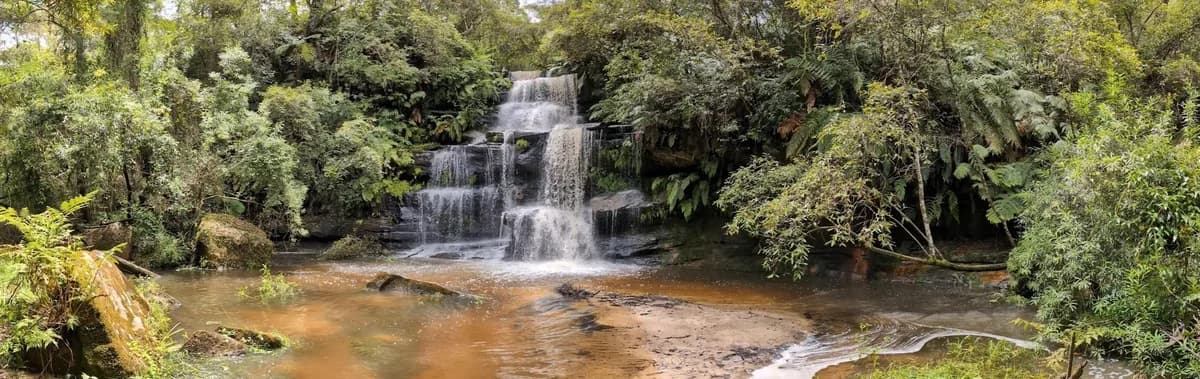
A great little walk. The falls were roaring after heavy rain when I went, so there was plenty of water, and I spotted a small water dragon and two yabbies the size of dinner plates. The walk is mapped as a loop. I found part of the trail on the other side of the falls, but it petered out.
I looked at doing it anticlockwise, but the water running under the causeway at the top was a little too deep, so I may go back and explore after less rain. It's a short walk, but the track is poorly maintained, so I recommend it only for experienced hikers. I wouldn't swim here, as there would be a lot of runoff from the farms upstream.
Directions
- Start on Ironbark Road. There is a brown sign on the south side of the road, but it is old and hard to see: -33.33399, 151.18259 (Google Maps)
- The falls. Turn left at the information hut to get here: -33.335650, 151.180810 (Google Maps)
- The top of the creek, just under the causeway. Head right at the information hut to see it: -33.334374, 151.180254 (Google Maps)
Elevation
- Climb
- 0 m
- Descent
- 20 m
- Highest
- 230 m
- Lowest
- 208 m
Approximate, from a 30 m terrain model, so it can overstate the climb on cliff edge tracks.
Before you go
Tell your people where you are going
Set your route and return time in FriendsFindMe. If you do not check in, the people you trust are sent a text so they know to come looking for you.

The book
15 waterfall walks in the book
A Cornucopia of Central Coast Walks has a waterfall section with 15 walks, including Somersby Falls, Gap Creek Falls, Strickland Falls and Kariong Brook Falls. Each one has a map and numbered directions, alongside over 100 other walks on the Coast.
See the book