
About this walk
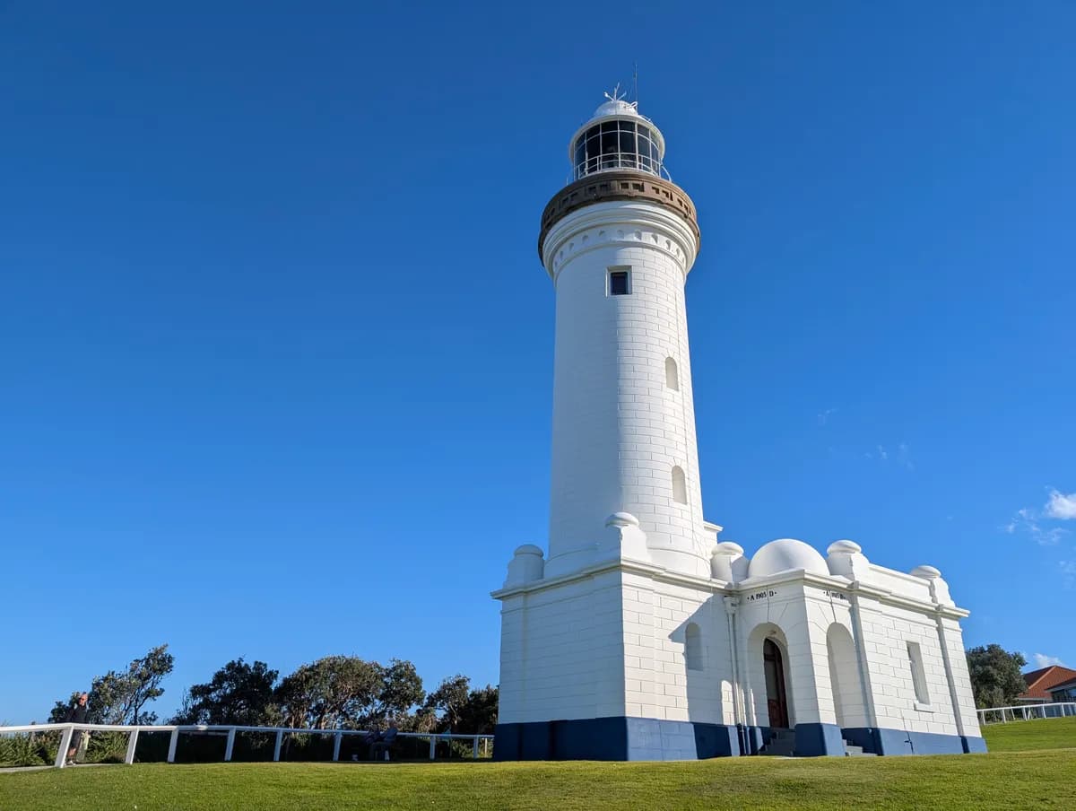
This is a great one for winter and a fantastic spot to watch for whales. You walk out along the headland to the historic Norah Head Lighthouse, head down to the rock platform and the beach, then loop back on the nature trail with the ocean beside you all the way.
The first part, out to the lighthouse, is accessible, so you can bring a pram or your grandparents to see it. At the top there is a cafe selling fish and chips and a playground, which makes it an easy walk with kids. Dogs are allowed on only part of it: on a lead out to the lighthouse and along the nature trail, but not down the stairs to the beach.
It is mostly flat and accessible out to the lighthouse and along the nature trail, with one set of stairs down to the beach and back up again.
Directions
- Start at the Norah Head Lighthouse car park and walk down to the lighthouse. Take the stairs at the bottom and turn left: -33.282109, 151.573852 (Google Maps)
- Climb the stairs to the cafe and playground, where you can buy fish and chips: -33.279185, 151.569378 (Google Maps)
- Follow the nature trail back to the car park: -33.279705, 151.569314 (Google Maps)
Elevation
- Climb
- 30 m
- Descent
- 30 m
- Highest
- 34 m
- Lowest
- 1 m
Approximate, from a 30 m terrain model, so it can overstate the climb on cliff edge tracks.
Before you go
Tell your people where you are going
Set your route and return time in FriendsFindMe. If you do not check in, the people you trust are sent a text so they know to come looking for you.

The book
33 dog walks in the book
A Cornucopia of Central Coast Walks has a dog section with 33 walks your dog can come on, from the beaches at Forresters, Pearl Beach and Patonga to the trails at Strickland and Mt Alison. Each one has a map and numbered directions.
See the book