
About this walk
This is the walk from Berlang campground in the northwest of Deua National Park, south of Braidwood, to The Big Hole and on to Marble Arch. It runs one way from the campground, over the Shoalhaven River and past The Big Hole, down to Marble Arch on Reedy Creek.
The first part is The Big Hole walking track, 4 km return, 1 to 2 hours, Grade 4. The full return trip to Marble Arch is about 10 km and 4 hours.
The Big Hole
The walk starts with a wade across the Shoalhaven River. Take shoes you can get wet, as the crossing can be cold, and watch for strong currents after rain. The track then climbs a gully onto a ridge through dry eucalypt forest and heath, with wide views over the park, to a timber viewing platform. The Big Hole is a roofless limestone cave more than 100 m deep and 50 m wide, around 400 million years in the making. In 1862 a young man named Boxall lowered himself in on saplings and rope to a rubbly floor 96 m down. Early morning or late afternoon, you may see the resident lyrebird come out of its ferny grotto to feed.
On to Marble Arch
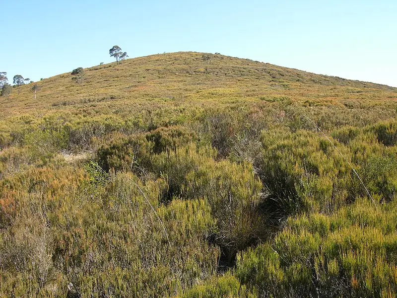
Past the platform the track descends steeply, crosses the Bettowynd Fire Trail (a wide gravel management road) and continues through open forest. It is marked only now and then, so navigate with care. A sign marks the edge of the Reedy Creek valley before a steeper drop to the creek, just upstream of the arch. There is no formed track to the arch itself: you scramble a short way downstream along the mostly dry creek bed. The arch is a large tunnel that Reedy Creek runs through, dark enough in the middle that a torch helps. Downstream is a slot canyon where wet marble is very slippery and a deep pool, which needs a wade or a swim, stops most groups.
Getting there and facilities
From Braidwood, drive south on Cooma Road for about 30 minutes, turn left at the sign to Berlang and The Big Hole, and drive 700 m to the campground car park, which can fill on long weekends and school holidays. Berlang campground has 10 tent sites beside the river, with toilets, wood barbecues and picnic tables. Bookings are made through NPWS. Drinking water is limited or not available, so bring your own.
Before you go
Mobile reception is limited in Deua National Park. Do not attempt the crossing or the gorge after heavy rain. Descending into The Big Hole needs a permit from the NPWS Braidwood office. Pets are not permitted. Check the Big Hole walking track alerts before you go.
Elevation
- Climb
- 150 m
- Descent
- 210 m
- Highest
- 829 m
- Lowest
- 658 m
Approximate, from a 30 m terrain model, so it can overstate the climb on cliff edge tracks.
Before you go
Tell your people where you are going
Set your route and return time in FriendsFindMe. If you do not check in, the people you trust are sent a text so they know to come looking for you.
Park and state forest boundaries: CAPAD 2024 © Commonwealth of Australia (DCCEEW), CC BY 4.0; © Forestry Corporation of NSW, CC BY 3.0 AU; © State of Queensland, CC BY 4.0; © State of Victoria (DEECA), CC BY 4.0
Walk data: © State of New South Wales (NSW National Parks and Wildlife Service), CC BY 4.0