
About this walk
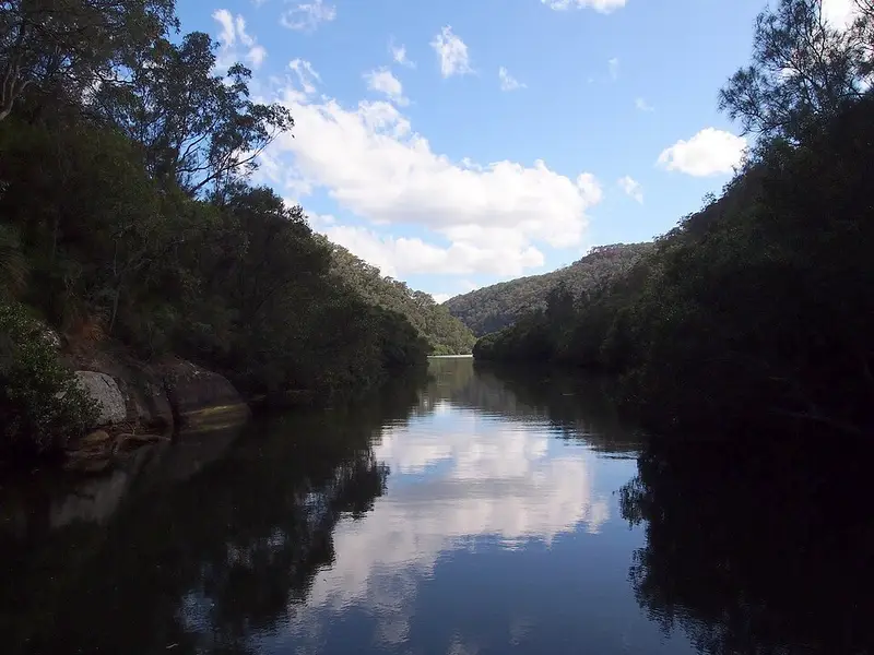
This is the Great North Walk through Berowra Valley National Park between Galston Gorge and Berowra Heights, in Sydney's north. This walk starts on the slope above Galston Gorge, where Galston Road crosses Berowra Creek, follows the creek north to Crosslands Reserve, then crosses Calna Creek, turns up Sams Creek and climbs to Naa Badu lookout before following a fire trail, one of the wide gravel roads rangers use, out to Berowra Waters Road at Berowra Heights. The whole park section is the Benowie walking track: 27 km from Pennant Hills to Berowra Waters, Grade 5, with several places to join it.
What you see
South of Crosslands the track climbs over ridges and across open sandstone platforms above the valley, with a mossy, boulder filled gully and a small waterfall on the way. Crosslands sits on the flats beside Berowra Creek, where a boardwalk called the Place of Winds runs through mangroves and saltmarsh to a viewing platform. North of the Calna Creek footbridge you cross more saltmarsh on boardwalk before following Berowra Creek to Sams Creek. The rocky crossing of Sams Creek is followed by a long, very steep climb on timber steps, with a bench in a small sandstone cave partway up. Naa Badu lookout, fenced and with a seat and picnic table, looks south over Berowra, Sams and Calna creeks; the name means "see water" in the Dharug language.
Facilities
Crosslands Reserve, at the end of Somerville Road, Hornsby Heights, is the halfway stop: picnic tables, barbecues, toilets, a playground and town water. Hornsby Shire Council runs its southern half and takes bookings for its campground; dogs are not allowed in the reserve. Crosslands is open 8am to 7.30pm in daylight saving time and 9am to 5pm otherwise. The Crosslands to Naa Badu stretch is Grade 4 (hard) because of the climb out of Sams Creek.
Before you go
The Sams Creek crossing can be impassable after heavy or prolonged rain, and the clearing beside it is subject to flooding. Berowra Creek is prone to pollution, so avoid swimming for three days after heavy rain or when the water is discoloured. Check the Great North Walk Berowra Valley alerts and the Berowra Valley National Park alerts before you go.
The Great North Walk runs about 260 km from Macquarie Place in central Sydney to Newcastle. North of here it drops to Berowra Waters, then climbs to Cowan and carries on to the Hawkesbury River. Details of this section are on the NSW National Parks Benowie track page.
Elevation
- Climb
- 450 m
- Descent
- 560 m
- Highest
- 187 m
- Lowest
- 5 m
Approximate, from a 30 m terrain model, so it can overstate the climb on cliff edge tracks.
Before you go
Tell your people where you are going
Set your route and return time in FriendsFindMe. If you do not check in, the people you trust are sent a text so they know to come looking for you.
Park and state forest boundaries: CAPAD 2024 © Commonwealth of Australia (DCCEEW), CC BY 4.0; © Forestry Corporation of NSW, CC BY 3.0 AU; © State of Queensland, CC BY 4.0; © State of Victoria (DEECA), CC BY 4.0
Walk data: © State of New South Wales (NSW National Parks and Wildlife Service), CC BY 4.0