
About this walk
This is the Great North Walk from Cowan station into Ku-ring-gai Chase National Park, down to Jerusalem Bay and up the other side. This walk starts at the Great North Walk sign by Cowan station, descends to the head of Jerusalem Bay, then climbs north over the ridges and past Campbells Creek to a track register box (a logbook where walkers sign in) on the ridge near the edge of Muogamarra Nature Reserve. It is roughly the first half of the Jerusalem Bay track: 11 km one way from Cowan station to the Hawkesbury River near Brooklyn, 4.5 to 5.5 hours, Grade 4 (challenging, for experienced bushwalkers).
What it is like
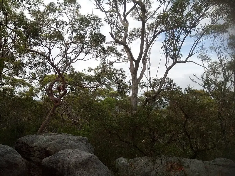
From the station the track crosses the railway line, then the Pacific Motorway on a fenced concrete bridge, then drops about 2.5 km through bushland to the water, over timber steps, rock platforms and several creek crossings, past sandstone overhangs. Jerusalem Bay, with views over Cowan Water, is a good place to rest; a clearing above the water carries a no camping sign, and there are no toilets or water there. The ruins of the Rhodes boatshed are on the way down. The climb out of the bay is the hardest part of the walk: about 200 metres of ascent in 1.1 km, on steep rocky track with a few short climbs up cracks in the rock. Beyond it the track passes through tall heath and forest, goes through a long cleft in the rock and drops on timber steps to Campbells Creek, which is orange and polluted, so do not drink it.
Getting there
Cowan station is about an hour by train from central Sydney, which suits a one way walk: carry on to Hawkesbury River station at Brooklyn, or come back the way you came. The track gets boggy after rain. Bring a hat, sunscreen and all the water you need: there is no drinking water on this part of the walk.
Before you go
Cliffs are not always fenced, signs are few in places, and storms can make the exposed sections dangerous. Pets are not permitted. Leave a trip intention form with someone and check the Jerusalem Bay track local alerts before you go. Details are on the NSW National Parks Jerusalem Bay track page.
North of here the track follows a ridge with views over the Hawkesbury River to campsites at Brooklyn Dam, whose wall dates from 1884, then drops into Brooklyn. The Great North Walk as a whole runs about 260 km from Sydney to Newcastle; the stage before this one comes up from Berowra Waters.
Elevation
- Climb
- 300 m
- Descent
- 310 m
- Highest
- 202 m
- Lowest
- 18 m
Approximate, from a 30 m terrain model, so it can overstate the climb on cliff edge tracks.
Before you go
Tell your people where you are going
Set your route and return time in FriendsFindMe. If you do not check in, the people you trust are sent a text so they know to come looking for you.
Park and state forest boundaries: CAPAD 2024 © Commonwealth of Australia (DCCEEW), CC BY 4.0; © Forestry Corporation of NSW, CC BY 3.0 AU; © State of Queensland, CC BY 4.0; © State of Victoria (DEECA), CC BY 4.0
Walk data: © State of New South Wales (NSW National Parks and Wildlife Service), CC BY 4.0