
About this walk
This is the lower Thredbo Valley track in Kosciuszko National Park, which follows the Thredbo River downstream from Bullocks Flat, past the Gaden Trout Hatchery, to the Thredbo River picnic area on Kosciuszko Road, about 9 kilometres from Jindabyne. This walk runs the other way, upstream from the picnic area to the Skitube bridge at Bullocks Flat. The track is mainly a mountain bike ride, but walkers share it and have right of way: riders must give way to them. It has gravel and natural surfaces.
The Bullocks Flat to Gaden Trout Hatchery section is 18.4 kilometres one way, opened in 2019, and the Gaden Bridge to Thredbo River picnic area section is a further 1.5 kilometres. Upstream of Bullocks Flat, the original Thredbo Valley track runs 16.7 kilometres to Thredbo village, making about 37 kilometres in all.
What it is like
The long section from Bullocks Flat is remote. The first 3 kilometres from the Skitube bridge are the easiest; after that the track follows the river through subalpine country with tight switchbacks, high banked corners built for bikes, rocky ground and steep pinches. Boulder lookout, about 10.4 kilometres from Bullocks Flat, is the natural rest stop. There are no exit points or facilities between Bullocks Flat and the hatchery, so if it is going badly, turn back rather than push on. On foot this is a long day, and you will need a car shuffle or a pickup.
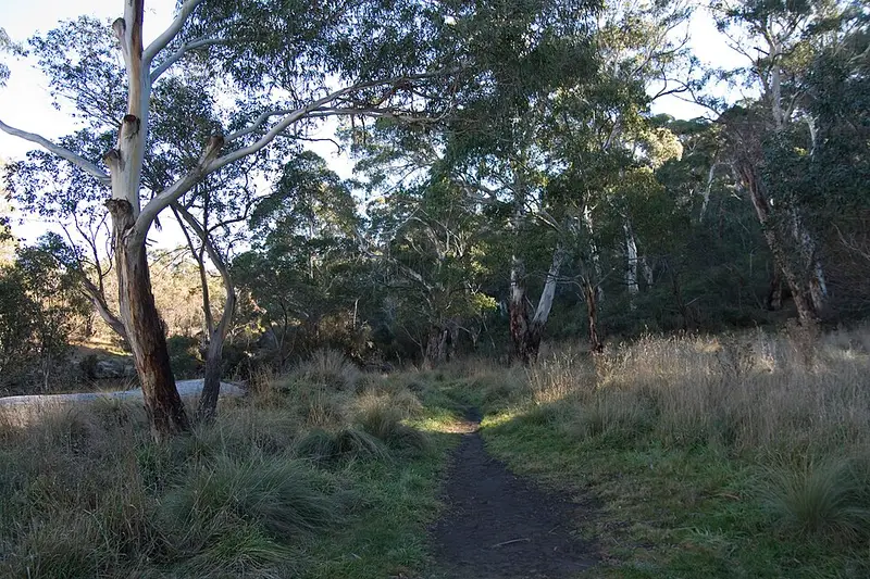
The short last section is the gentle part: a wide gravel track that climbs through snow gum woodland and drops through tall eucalypt forest to the picnic area, with a 300 metre raised platform beside the river and a seat with river views on the way. It can be used all year when the track is dry. Platypus are sometimes seen from the picnic area riverbank around dusk.
Getting there
Thredbo River picnic area is about 8 kilometres from Jindabyne along Kosciuszko Road: turn left just after you cross the Thredbo River. It has a bitumen car park, flush toilets, picnic tables and free barbecues, but no drinking water. For the hatchery, turn left off Kosciuszko Road onto Gaden Road after about 7 kilometres and follow it 2.5 kilometres to the car park and picnic area, which has public toilets and limited parking; it is outside the park, so keep off private property. At Bullocks Flat, park in Skitube car park D off the Alpine Way; there is a non flush toilet at Bullocks Hut. Park entry fees apply on Kosciuszko Road and the Alpine Way.
Before you go
The track is open to bikes from November to May and closed to them in winter. Sections are closed from time to time for maintenance, events or track damage, so check the Thredbo Valley track alerts before you go. Carry water and food, as there is none along the way, and expect limited mobile reception. The NSW National Parks Thredbo Valley track page has the map.
At Bullocks Flat the track meets the Perisher Valley to Bullocks Flat walk, the last day of the Snowies Alpine Walk, and the Bullocks Track to Bullocks Hut. At the picnic end, the Pallaibo walking track comes down from Sawpit Creek, 5.5 kilometres away.
Elevation
- Climb
- 470 m
- Descent
- 270 m
- Highest
- 1,163 m
- Lowest
- 923 m
Approximate, from a 30 m terrain model, so it can overstate the climb on cliff edge tracks.
Before you go
Tell your people where you are going
Set your route and return time in FriendsFindMe. If you do not check in, the people you trust are sent a text so they know to come looking for you.
Park and state forest boundaries: CAPAD 2024 © Commonwealth of Australia (DCCEEW), CC BY 4.0; © Forestry Corporation of NSW, CC BY 3.0 AU; © State of Queensland, CC BY 4.0; © State of Victoria (DEECA), CC BY 4.0
Walk data: © State of New South Wales (NSW National Parks and Wildlife Service), CC BY 4.0