
About this walk
McKeown's Valley is the limestone valley that runs north from the Grand Arch at Jenolan Caves, in the Jenolan Karst Conservation Reserve, part of the Greater Blue Mountains World Heritage Area. The McKeown's Valley walking track, also called the Healing Waters walk, is 2.6 kilometres return, 1 hour 30 minutes to 2 hours, Grade 3.
This walk starts at the Grand Arch but goes much further than that: it follows the valley and the Jenolan River north for about 5 kilometres. The first part is the signposted walk. Beyond it is a rougher route along the river and its bed, between high cliffs, at about Grade 4. Treat everything past the Old Playing Fields as a bushwalk and carry a map.
The official walk
From Caves House, walk along the road and through the Grand Arch, then follow the signs left into the Devil's Coach House, a huge open cave. You walk through the cavern and out into McKeown's Valley, to the Old Playing Fields, where an old concrete cricket pitch and a former campground remain. The track crosses the Jenolan River and shows off surface karst, the landforms limestone makes as water dissolves it, including a blind valley where a stream disappears underground. Inside the Devil's Coach House, stairs and a turnstile lead into Nettle Cave, which you can explore on your own for free.
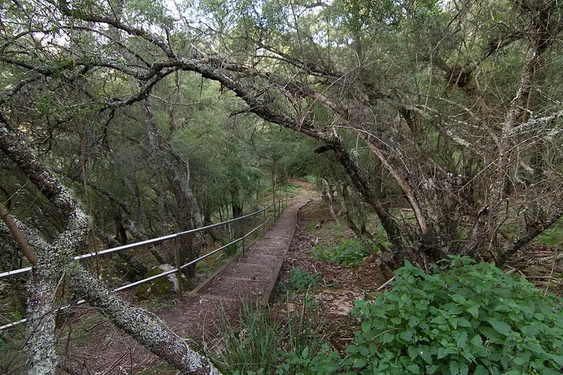
Grade 3 here means gentle hills, many steps and a formed path with some obstacles. It is clearly signposted, but some bushwalking experience is recommended. Rock wallabies, swamp wallabies, goannas and lyrebirds are often seen by day, and if you stay overnight an evening walk can turn up owls, sugar gliders and possums.
Getting there and facilities
Come in by Edith Road, the 2 Mile Road, from Oberon or from the Great Western Highway via Hampton. The roads are sealed, but the last 5 kilometres are steep and narrow with hairpin bends, and caravans, trailers and anything longer than a 12 seat minibus are not allowed. Traffic into Jenolan is regulated, so check Live Traffic NSW before you leave. There are three main car parks. The nearest toilets are at the ticket and information office, and there is no drinking water on the track, so bring your own.
Before you go
Floods and landslips have closed the reserve's roads and tracks for long periods. Check the McKeown's Valley walking track alerts and the Jenolan Caves website before you go, and ask at the ticket office about closures on the day. Mobile reception is limited, so download the Emergency Plus app. Pets are not allowed. You can combine this walk with the Jenolan River and Carlotta Arch walking tracks, and the Six Foot Track finishes nearby at Caves House. The NSW National Parks McKeown's Valley page has the details.
Elevation
- Climb
- 170 m
- Descent
- 90 m
- Highest
- 913 m
- Lowest
- 821 m
Approximate, from a 30 m terrain model, so it can overstate the climb on cliff edge tracks.
Before you go
Tell your people where you are going
Set your route and return time in FriendsFindMe. If you do not check in, the people you trust are sent a text so they know to come looking for you.
Park and state forest boundaries: CAPAD 2024 © Commonwealth of Australia (DCCEEW), CC BY 4.0; © Forestry Corporation of NSW, CC BY 3.0 AU; © State of Queensland, CC BY 4.0; © State of Victoria (DEECA), CC BY 4.0
Walk data: © State of New South Wales (NSW National Parks and Wildlife Service), CC BY 4.0