
About this walk
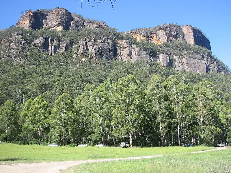
This is the Pipeline track, the walking route over the range between Newnes in the Wolgan Valley and Glen Davis in the Capertee Valley, in Wollemi National Park. This walk starts near Newnes campground and heads north east towards Glen Davis. From Glen Davis to Newnes campground is roughly 10 km.
The track takes its name from a four inch pipeline laid after National Oil Pty Ltd set up at Glen Davis in 1937 to make petrol from kerosene shale. The pipeline carried the petrol to Newnes and on to Newnes Junction on the Main Western railway line. Old stone walling, sections of pipe and its metal supports remain along the way.
The walk
This description of the route from the Newnes end dates from 2011. You follow the Wolgan River for about 2 km to the signposted foot of the Pipeline track, with a crossing at Petries Gully that may mean wet feet and patches of nettles. The climb then crosses steep slopes before switchbacking through two cliff lines, with a short scramble up a rock slab, for roughly 300 m of ascent. About 100 m south of the top, Pagoda Lookout sits on the cliff edge and is worth the short detour. Over the saddle you descend through Green Gully, crossing a section of private property, to the streets and campground of Glen Davis.
Expect a hard walk, with steep climbs and descents, rock scrambling, overgrown and faint sections (especially near Glen Davis), sparse tape markers and battered signs. There are no water points on the track, so carry what you need.
Getting there and camping
Newnes campground is walk in only, because Wolgan Road has collapsed and there is a landslip risk at Wolgan Gap, so the Pipeline track from Glen Davis is the usual way in. The campground sits on grassy flats beside the Wolgan River near the shale oil ruins. It has non flush toilets and wood barbecues but no drinking water. Camping is free with a $6 booking fee. At the other end, there is a campground at Glen Davis with hot showers and flushing toilets.
Before you go
The track has been closed near Glen Davis in the past because of private land issues, while NPWS now directs campers along it from Glen Davis. Check the Wollemi National Park alerts or call the NPWS Oberon office on 02 6336 6200 before you set out. Mobile reception in the park is limited.
Elevation
- Climb
- 440 m
- Descent
- 600 m
- Highest
- 827 m
- Lowest
- 344 m
Approximate, from a 30 m terrain model, so it can overstate the climb on cliff edge tracks.
Before you go
Tell your people where you are going
Set your route and return time in FriendsFindMe. If you do not check in, the people you trust are sent a text so they know to come looking for you.
Park and state forest boundaries: CAPAD 2024 © Commonwealth of Australia (DCCEEW), CC BY 4.0; © Forestry Corporation of NSW, CC BY 3.0 AU; © State of Queensland, CC BY 4.0; © State of Victoria (DEECA), CC BY 4.0
Walk data: © State of New South Wales (NSW National Parks and Wildlife Service), CC BY 4.0