
About this walk
Rodriguez Pass is the old track through the floor of the Grose Valley below Blackheath, in Blue Mountains National Park. This walk starts beside Govetts Leap lookout, drops into the valley past the base of Bridal Veil Falls, follows Govetts Leap Brook down to Junction Rock, then heads up Govetts Creek and Greaves Creek past Beauchamp Falls to where it meets the Grand Canyon track below Evans Lookout. The full walk is a 12 km loop of 4 to 7 hours, Grade 5, which climbs out of the canyon on old stone stairs to Evans Lookout and returns to Govetts Leap along the 3 km Cliff Top walking track. You can also leave a car at each lookout and skip the clifftop leg.
What you see
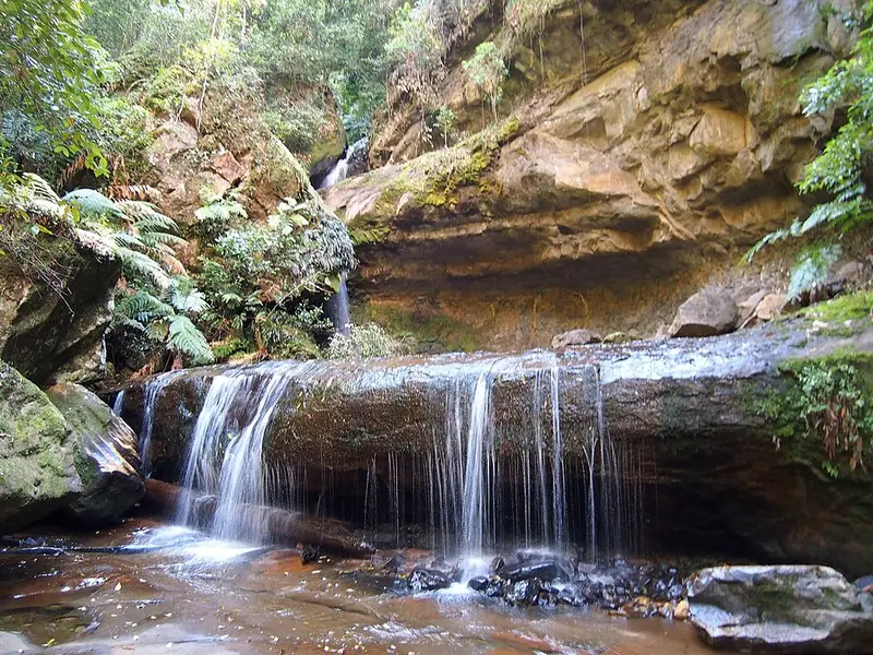
Bridal Veil Falls, which drops 180 metres off the cliff at Govetts Leap, is the tallest single drop waterfall in the Blue Mountains. The descent passes hanging swamps, the boggy, plant filled seepages that cling to the cliffs. Junction Rock, about 2 km down the brook where it meets Govetts Creek, is a good place for lunch or a swim, and you may see crayfish there. Between Junction Rock and Evans Lookout the track climbs steeply over sandstone stairs and boulders, with several creek crossings, before Beauchamp Falls and the Grand Canyon. Look for yellow robins, scrub wrens and thornbills along the way.
What it is like
Grade 5 means very steep and difficult, with a rough path, many steps, many obstacles and little signage. It is only for experienced walkers with good fitness and navigation skills. Watch for exposed cliff edges and slippery crossings, and check the forecast, because the creeks can flood quickly after heavy rain. Rockfalls and landslides have closed this track for long periods.
Getting there and facilities
From the Great Western Highway at Blackheath, follow Govetts Leap Road about 3 km to its end; the track leaves to the left of the lookout. To walk it the other way, drive to the end of Evans Lookout Road. Both lookouts have sealed road access, parking, toilets and picnic facilities. There is no drinking water in the park and the creek water is not fit to drink, so carry plenty. There are no bins on the track.
Before you go
Mobile reception in the park is limited, so download the Emergency Plus app. The Blue Mountains Heritage Centre at 270 Govetts Leap Road (02 4787 8877) has maps and route advice and lends personal locator beacons for free. Leave a trip intention form with someone, and check the Rodriguez Pass local alerts before you go. Full details are on the NSW National Parks Rodriguez Pass page.
Elevation
- Climb
- 390 m
- Descent
- 550 m
- Highest
- 957 m
- Lowest
- 636 m
Approximate, from a 30 m terrain model, so it can overstate the climb on cliff edge tracks.
Before you go
Tell your people where you are going
Set your route and return time in FriendsFindMe. If you do not check in, the people you trust are sent a text so they know to come looking for you.
Park and state forest boundaries: CAPAD 2024 © Commonwealth of Australia (DCCEEW), CC BY 4.0; © Forestry Corporation of NSW, CC BY 3.0 AU; © State of Queensland, CC BY 4.0; © State of Victoria (DEECA), CC BY 4.0
Walk data: © State of New South Wales (NSW National Parks and Wildlife Service), CC BY 4.0