
About this walk
This is the northern end of the Solitary Islands coastal walk, from the fishing village of Red Rock south along Corindi Beach to Arrawarra and the next headland beyond it. The whole walk follows 60 km of the Coffs Coast from Red Rock to Sawtell; it is Grade 4 and takes 3 to 4 days, or you can walk shorter sections from the access points along the way. This walk finishes on the headlands just south of Arrawarra, at Ocean View Headland on the way to Mullaway.
The route
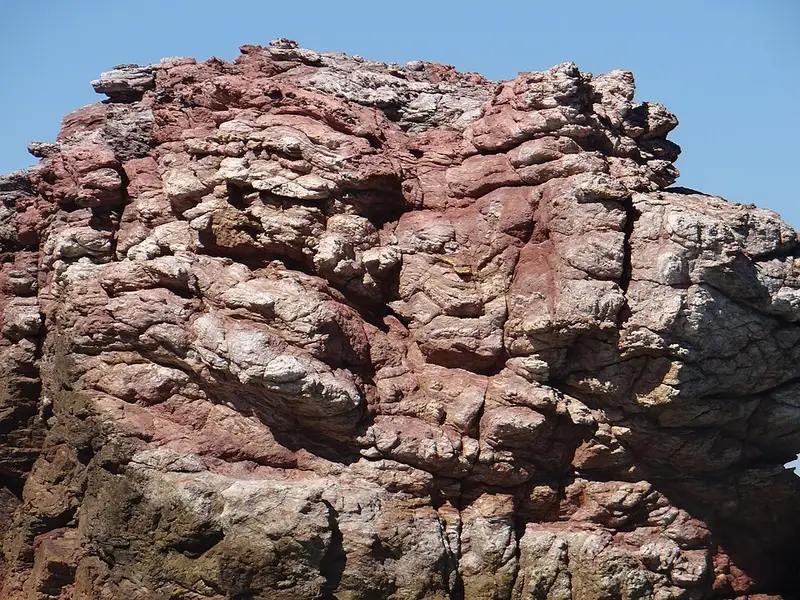
Red Rock takes its name from the rock formations on its headland and at the mouth of the Corindi River estuary. Have a look at the creekside boardwalk before you head south along the beach. Corindi Beach is a long run of sand past Pipeclay Lake to the village of Corindi Beach, then on to Arrawarra. The Gumbaynggirr people named Arrawarra, which means meeting place, and the rock platforms at Arrawarra Headland hold ancient Aboriginal fish traps among the rock pools. Make the creek crossing at Arrawarra at low tide. From Arrawarra the walk climbs onto Ocean View Headland, with views over Solitary Islands Marine Park, before continuing to Mullaway.
Red Rock to Arrawarra Beach is 10.2 km, Grade 3, which breaks into Red Rock to Corindi (6.5 km) and Corindi to Arrawarra Beach (3.7 km). Walking on sand is much easier at low tide.
Getting there and facilities
Red Rock is 6 km along Red Rock Road from the Pacific Highway turnoff at Corindi Beach, 34 km north of Coffs Harbour. Park outside the Red Rock Holiday Park on Lawson Street, where a sign near the entrance points you past the surf club to the beach. Red Rock has a general store, a picnic area and playground beside the Corindi River, and camping and cabins. The Yarrawarra Aboriginal Cultural Centre is at 140 Red Rock Road, Corindi Beach. For Arrawarra, turn off Mullaway Drive into Arrawarra Road and drive to the end, where there is a picnic area in a tree lined park. Carry water and refill at toilet blocks and picnic areas.
Before you go
The beaches in the park are not patrolled and can have strong rips; the nearest seasonally patrolled beach on the walk is at Woolgoolga. Look for the lighthouse track markers that show the route. Pets are not permitted on the walk. Fill in a trip intention form if you plan to walk further. Check the Solitary Islands coastal walk alerts before you go, and see the NSW National Parks walk page for the map.
Elevation
- Climb
- 50 m
- Descent
- 40 m
- Highest
- 15 m
- Lowest
- 1 m
Approximate, from a 30 m terrain model, so it can overstate the climb on cliff edge tracks.
Before you go
Tell your people where you are going
Set your route and return time in FriendsFindMe. If you do not check in, the people you trust are sent a text so they know to come looking for you.
Park and state forest boundaries: CAPAD 2024 © Commonwealth of Australia (DCCEEW), CC BY 4.0; © Forestry Corporation of NSW, CC BY 3.0 AU; © State of Queensland, CC BY 4.0; © State of Victoria (DEECA), CC BY 4.0
Walk data: © State of New South Wales (NSW National Parks and Wildlife Service), CC BY 4.0