
About this walk
This piece of the Yuraygir coastal walk links Red Cliff, Brooms Head and the Sandon River in Yuraygir National Park, on the Clarence Coast south of Yamba. The whole walk is a 65km signposted route from Angourie to Red Rock, usually done over 4 to 5 days. The recommended direction is north to south: from Red Cliff into Brooms Head, then down the long beach to Plover Island and the river crossing at Sandon.
It straddles two sections. The few kilometres from Red Cliff to Brooms Head are the end of the Angourie to Brooms Head walking track (Grade 4). From Brooms Head south is the first half of the Brooms Head to Illaroo walking track, which is 18km one way, 7 to 8 hours, Grade 3, with short steep hills and occasional steps.
Along the way
Red Cliff and the headland at Brooms Head are both good places to watch migrating whales, and the coastal views at the southern end of Brooms Head Beach are good for spotting dolphins. Brooms Head village, 12.5km by road from the Sandon River campground, is the place for basic supplies. South of the village the walking is mostly long, open beach backed by paperbark woodland. Near the river mouth, Plover Island can be explored at low tide; it holds great cultural significance for the Yaegl people, middens and artefacts have been found there, and information is posted on the island. The Sandon River is the northern limit of the Solitary Islands Marine Park, which runs about 75km south to Muttonbird Island at Coffs Harbour.
Crossing the Sandon River
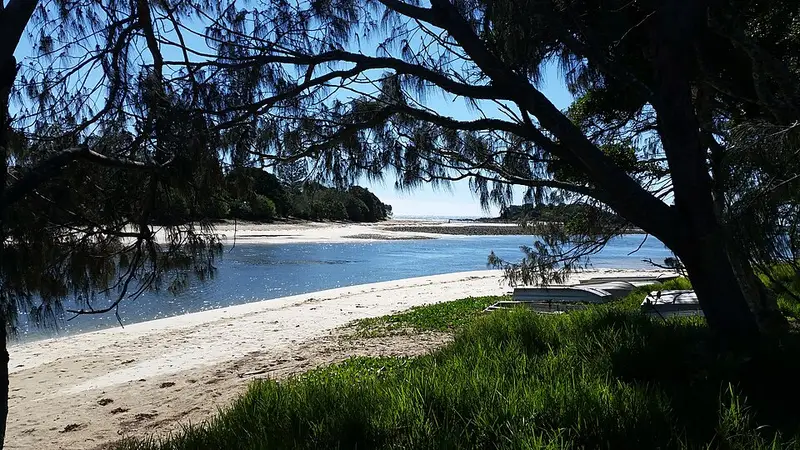
To cross safely, organise a watercraft well ahead of time. Call 0407 362 118 for help with the crossing. On the north bank, Sandon River campground has 29 sites, toilets, barbecues, a boat ramp and a public phone, but no drinking water. The small settlement of Sandon, about 35 houses, sits on the south bank.
Getting there and before you go
Turn off the Pacific Highway at Maclean and follow the signs to Brooms Head and Sandon River; the road to the campground is gravel. There is parking at Brooms Head and Sandon River, and toilets at both. Book campsites online, and note that park entry fees apply. Beaches here are unpatrolled with strong rips, the cliffs at Red Cliff are unstable, mobile reception is limited and pets are not permitted. Check the Yuraygir National Park alerts before you go.
Elevation
- Climb
- 50 m
- Descent
- 40 m
- Highest
- 17 m
- Lowest
- 0 m
Approximate, from a 30 m terrain model, so it can overstate the climb on cliff edge tracks.
Before you go
Tell your people where you are going
Set your route and return time in FriendsFindMe. If you do not check in, the people you trust are sent a text so they know to come looking for you.
Park and state forest boundaries: CAPAD 2024 © Commonwealth of Australia (DCCEEW), CC BY 4.0; © Forestry Corporation of NSW, CC BY 3.0 AU; © State of Queensland, CC BY 4.0; © State of Victoria (DEECA), CC BY 4.0
Walk data: © State of New South Wales (NSW National Parks and Wildlife Service), CC BY 4.0