
About this walk
This long section of the Bicentennial National Trail crosses from the edge of Wollemi National Park into the Upper Hunter. It starts on Nullo Mountain Road, north east of Rylstone, and runs through the Widden Valley to Sandy Hollow, then east past Wybong and Dartbrook to Aberdeen on the New England Highway, finishing on Rouchel Road near Upper Rouchel. The whole trail covers 5,330 kilometres from Cooktown in Queensland to Healesville in Victoria. Aberdeen is the boundary between two of the trail's sections: Section 9 (Aberdeen to Wallerawang) lies behind you and Section 8 (Ebor to Aberdeen) begins along Rouchel Road.
The route
From Nullo Mountain the trail follows the Myrtle Trail, also called the Myrtle Creek Trail, with a series of fords along it. It then uses Myrtle Gully Road and Emu Creek Road into the Widden Valley. Parts of Nullo Mountain Road, the Myrtle Trail and these two roads are private; the National Trail relies on the goodwill of landholders whose properties it crosses, so keep to the route described in its maps. Widden Valley Road and Bylong Valley Way, both sealed, lead to Sandy Hollow. East of there the trail uses Merriwa Road, Wybong Road (which has a concrete ford), Yarraman Road, Ridgelands Road, a short section of track, Castlerock Road, Halls Road and Dartbrook Road to reach Aberdeen.
The country
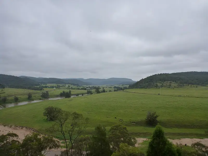
This part crosses the rich plains of the Upper Hunter Valley, the breeding centre of Australia's horse industry, on quiet roads and historic stock routes, and Section 9 is rated moderate and safe for first time trekkers. The management trails in the remoter country need preparation for rough conditions and isolation. Expect long stretches of road with traffic between Sandy Hollow and Aberdeen.
Before you go
Spring, early summer and autumn are recommended. Avoid winter, which is often wet and cold, and midsummer when it has been very dry. Much of the route in NSW follows travelling stock reserves, and camping on one needs a permit from Local Land Services, contacted at least 48 hours ahead. The trail's maps are sold to members only, and its markers, red and yellow striped triangles, are not enough to navigate by. Mobile coverage is patchy along the trail, so carry a personal locator beacon. Check the Wollemi National Park alerts and read the National Trail section overviews before you go.
Elevation
- Climb
- 1,700 m
- Descent
- 2,450 m
- Highest
- 1,127 m
- Lowest
- 122 m
Approximate, from a 30 m terrain model, so it can overstate the climb on cliff edge tracks.
Before you go
Tell your people where you are going
Set your route and return time in FriendsFindMe. If you do not check in, the people you trust are sent a text so they know to come looking for you.
Park and state forest boundaries: CAPAD 2024 © Commonwealth of Australia (DCCEEW), CC BY 4.0; © Forestry Corporation of NSW, CC BY 3.0 AU; © State of Queensland, CC BY 4.0; © State of Victoria (DEECA), CC BY 4.0
Walk data: © OpenStreetMap contributors, ODbL