
About this walk
The Brabralung Trail is the gravel track that links Dinner Plain with the Hotham village area through the Alpine National Park, never far from the Great Alpine Road. Walkers, cyclists and, in winter, cross country skiers all share it. This walk runs from the Dinner Plain end, at the national park boundary, west to Davenport Drive below Little Mount Higginbotham at Hotham. It is about 12 to 13 km one way, or 26 km return, about 4 hours one way and Grade 3. Starting from Dinner Plain Hut, you follow Fitzy's Cirque to the trailhead.
What it is like
The surface is compacted gravel, mostly level with a few gradual steep pinches, and there is an elevated walkway across Paw Paw Plain. No bushwalking experience is needed. From Hotham the trail is a gradual descent overall; from Dinner Plain it climbs steadily, with about 220 metres of gain. Riders should take corners carefully, as loose gravel can sit on the hard base.
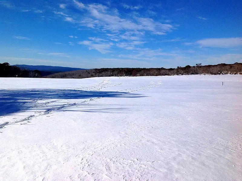
The trail crosses snow gum woodland and two open plains, JB Plain and Paw Paw Plain, where cold air draining off the slopes keeps trees from growing and only grasses, heaths and bog plants survive. Look for bright green hummocks of sphagnum moss in the wet ground, trigger plants with pink flower spikes in the warmer months, and the emus that live on JB Plain. A side walk of about 2 km return out to Paw Paw Plain gives views over the Dargo River valley to Mount Tabletop, and a mining track once ran from there down to the goldfields on the Dargo River. JB Hut, an easy 1.8 km walk by the trail, is an old forestry hut that Cobungra Station and the Bairnsdale Scout Group moved to JB Plain in the 1970s, beside the remains of 19th century yards for catching wild horses. Interpretive signs along the way tell of the Dhudhuroa, Yaitmathang and Gunaikurnai peoples, who have visited the high plains for thousands of years.
Getting there and facilities
Park at Hotham village near the General Store or in Dinner Plain. It is a one way walk, so arrange a car shuffle or walk back the same way. There is no reliable water along the trail: carry 2 to 3 litres each. Dogs and firearms are not allowed.
Before you go
November to April is the usual walking season, but snow and blizzards can come at any time of year, so carry wind and waterproof layers and warm clothes. Snow gums burnt in 2003 still drop dead branches, so do not walk here on windy days. Snakes are active in the warmer months, and mobile reception is patchy. Check the Parks Victoria Brabralung Trail page for alerts before you go, and see Hotham's trail page and the Dinner Plain track notes. The Cobungra Ditch Walking Track can be joined to this trail to make an 18 km circuit from Hotham.
Elevation
- Climb
- 320 m
- Descent
- 190 m
- Highest
- 1,723 m
- Lowest
- 1,584 m
Approximate, from a 30 m terrain model, so it can overstate the climb on cliff edge tracks.
Before you go
Tell your people where you are going
Set your route and return time in FriendsFindMe. If you do not check in, the people you trust are sent a text so they know to come looking for you.
Park and state forest boundaries: CAPAD 2024 © Commonwealth of Australia (DCCEEW), CC BY 4.0; © Forestry Corporation of NSW, CC BY 3.0 AU; © State of Queensland, CC BY 4.0; © State of Victoria (DEECA), CC BY 4.0
Walk data: © OpenStreetMap contributors, ODbL