
About this walk
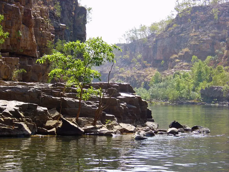
The Butterfly Gorge walk is one of the Southern Walks in Nitmiluk National Park, about 30 km northeast of Katherine. It starts near the Nitmiluk Centre, climbs onto the sandstone escarpment above Nitmiluk (Katherine) Gorge, and follows the Yambi Walk and Gurumal Trail to Butterfly Gorge, a shaded side gorge with rainforest plants and butterflies that opens into the main gorge. It is 12 km return, 4.5 hours, Grade 3, moderate. This is the walk one way, from the trailhead to the gorge. The park is owned by the Jawoyn people, whose rock art is found throughout the gorge system.
What it is like
The network of tracks starts with a climb onto rocky escarpment by way of the Baruwei Loop, then crosses the plateau. Parts of the route to the Butterfly Gorge junction are shared with mountain bikes, so keep an ear out for riders. Tracks are marked with coloured triangles every 20 to 50 metres and every junction has a signpost. If you have walked about 100 metres without seeing a marker, go back to the last one, because worn paths in the bush are often animal tracks. There is a water tank at the Butterfly Gorge trail junction, but carry at least 3 litres each.
At the gorge the water is deep and swimming is seasonal. Saltwater and freshwater crocodiles live in the park, so swim only where it is allowed. Swimming in the river at Butterfly Gorge can be closed while rangers survey for crocodiles.
Heat
This is the main hazard. It is very hot from September to December, and the escarpment is often 10°C hotter than down by the river. Postpone a walk if the temperature is over 32°C, and some walks are closed when it is considered too hot. Start early, rest in the shade and drink regularly. Mobile reception is patchy, so carry a personal locator beacon or satellite phone; there are emergency call devices at some locations on the Southern Walks.
Getting there and facilities
The park entrance is on the sealed Gorge Road, which can close in the wet season when Maud Creek floods. The Nitmiluk Centre has park information, a café, a tour booking desk and the Alice Mitchell Gallery, and you can collect a Southern Walks map there before you start. Long term parking is at the ranger station. A Parks Pass applies to visitors from interstate and overseas. Pets, drones and fires are not permitted, and bins are not provided on the walks.
Nearby walks
The same tracks lead to Windolf and Southern Rockhole (9.1 km return), the Lily Ponds (21.1 km return) and overnight camps at Dunlop Swamp, Smitt Rock and Eighth Gorge, which must be booked. The 62 km Jatbula Trail starts across the river by ferry.
Check Nitmiluk park status before you go, and read Walks in Nitmiluk National Park for the full list.
Elevation
- Climb
- 150 m
- Descent
- 120 m
- Highest
- 213 m
- Lowest
- 124 m
Approximate, from a 30 m terrain model, so it can overstate the climb on cliff edge tracks.
Before you go
Tell your people where you are going
Set your route and return time in FriendsFindMe. If you do not check in, the people you trust are sent a text so they know to come looking for you.
Park and state forest boundaries: CAPAD 2024 © Commonwealth of Australia (DCCEEW), CC BY 4.0; © Forestry Corporation of NSW, CC BY 3.0 AU; © State of Queensland, CC BY 4.0; © State of Victoria (DEECA), CC BY 4.0
Walk data: © OpenStreetMap contributors, ODbL