
About this walk
This is the southern half of the Great North Walk, the 250 km track from Sydney to Newcastle built in 1987 and 1988 for Australia's bicentenary. It starts at the Obelisk in Macquarie Place in the Sydney CBD and follows the walk north through Lane Cove, Berowra Valley, Ku-ring-gai Chase and Brisbane Water national parks, across the Hawkesbury River, to Somersby on the Central Coast plateau. The second section carries on from Somersby to Newcastle.
The route
The walk leaves the city by ferry across the harbour to Woolwich, then goes through Hunters Hill and up the Lane Cove River through Lane Cove National Park, past the site of the former Fairyland amusement park and the Lane Cove weir, to Thornleigh. This part is well signposted. From Thornleigh it crosses into Berowra Valley National Park via the Blue Gum Walk near Hornsby, drops to Galston Gorge and Steele Bridge, follows Berowra Creek past Crosslands Reserve and climbs to Naa Badu lookout and Berowra. From Cowan station it descends to Jerusalem Bay in Ku-ring-gai Chase National Park, climbs out past Brooklyn Dam and comes down to the Hawkesbury River at Brooklyn.
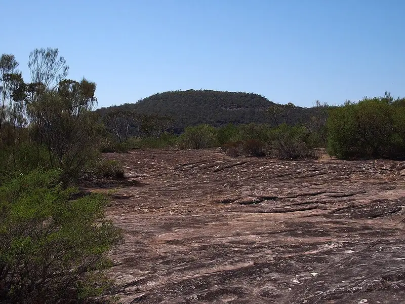
The river is crossed by boat or train. The route goes by water to Patonga, then through Brisbane Water National Park over Mount Wondabyne, past Wondabyne station on the railway, along Mullet Creek and through Piles Creek gorge near Girrakool to Kariong, then along Mooney Mooney Creek to Somersby. A route option starts at Wondabyne station instead of Patonga. Patonga to Wondabyne is 23 km and Wondabyne to Mooney Mooney Creek campground is 12 km, and the Brisbane Water part is for very experienced walkers: very steep and difficult, on rough track with many obstacles.
Getting on and off
Much of this half runs close to the railway, so stations such as Thornleigh, Hornsby, Berowra, Cowan, Hawkesbury River and Wondabyne make day walks easy, and Macquarie Place to Somersby can be walked in ten stages. The early city sections follow streets. At the northern end of Brisbane Water National Park there is parking behind the reservoirs on Reservoir Road, Somersby. Girrakool picnic area's car park is locked at night (8pm in daylight saving time, 6pm otherwise), and the park charges $8 per vehicle per day. Places to camp on this half include Crosslands Reserve in Berowra Valley and Mooney Mooney Creek campground near the northern end.
Before you go
The whole walk takes around two weeks. Summer can be very hot and fire danger high, so late autumn, winter and spring suit it best. Many campsites along the walk have no water supply, and creek water should be treated. Mobile reception is limited in Brisbane Water National Park. Fill in a trip intention form. Check the NSW National Parks alerts list, the Lane Cove Great North walk alerts and the Brisbane Water Great North walk alerts before you go. Details are on the NSW National Parks Brisbane Water section page.
Elevation
- Climb
- 3,700 m
- Descent
- 3,450 m
- Highest
- 308 m
- Lowest
- 0 m
Approximate, from a 30 m terrain model, so it can overstate the climb on cliff edge tracks.
Before you go
Tell your people where you are going
Set your route and return time in FriendsFindMe. If you do not check in, the people you trust are sent a text so they know to come looking for you.
Park and state forest boundaries: CAPAD 2024 © Commonwealth of Australia (DCCEEW), CC BY 4.0; © Forestry Corporation of NSW, CC BY 3.0 AU; © State of Queensland, CC BY 4.0; © State of Victoria (DEECA), CC BY 4.0
Walk data: © OpenStreetMap contributors, ODbL