
About this walk
The Kaputar Plateau walk crosses the high country of Mount Kaputar National Park, about an hour's drive east of Narrabri in north west NSW. It is 8 km taking 2.5 to 3.5 hours, Grade 3, with no experience needed. That 8 km is the whole round trip: about 6 km of track from the Rocky Plateau trailhead downhill to Bark Hut, then 2 km back up the main road to your car. This walk covers the track section only. With two cars you can leave one at each end and skip the road walk.
The route
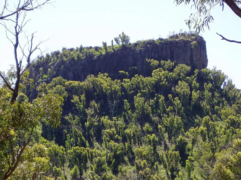
The track follows the Rocky Plateau Fire Trail south from the trailhead, crosses creeks at fords, then turns back north on the Scutts Hut Fire Trail to the road near Bark Hut. It is clearly signposted and formed, with short steep hills and occasional steps, and shared with mountain bikers. It passes through several kinds of country to Euglah Rock lookout, which looks across to Camels Hump and Mount Coryah, and Rangers, Lairds and Doug Sky lookouts are also along the walk. Part of it follows an old pioneers' track, and nearby Scutts Hut, home of the Scutt family in the 1940s and 1950s, has been restored.
The park is the remains of two volcanoes, and the plateau sits high enough that it is about 10°C cooler than Narrabri, with mist and occasional snow in winter. More than 185 bird species have been recorded here, so bring binoculars. After rain, look for the bright pink Kaputar slug.
Getting there and facilities
From Narrabri take Old Gunnedah Road south, turn left onto Kaputar Road after about 2.5 km, and drive 27 km to the park entrance. The road beyond is steep, winding, partly unsealed and single lane in places, and caravans and large motorhomes are not allowed past the entrance. Bark Hut turnoff is 14 km on the right, and the Rocky Plateau trailhead is 2 km further, also on the right, with parking. Bark Hut campground has 12 bookable sites, flush toilets, hot showers, barbecues and picnic tables.
Before you go
Summer days average up to 35°C and the record is 43.4°C; carry water, a hat and sunscreen. Mobile reception is limited. Pets are not allowed. Check the Mount Kaputar National Park alerts before you go, including fire bans, and see the NSW National Parks Kaputar Plateau walk page for its map.
Elevation
- Climb
- 150 m
- Descent
- 300 m
- Highest
- 1,407 m
- Lowest
- 1,113 m
Approximate, from a 30 m terrain model, so it can overstate the climb on cliff edge tracks.
Before you go
Tell your people where you are going
Set your route and return time in FriendsFindMe. If you do not check in, the people you trust are sent a text so they know to come looking for you.
Park and state forest boundaries: CAPAD 2024 © Commonwealth of Australia (DCCEEW), CC BY 4.0; © Forestry Corporation of NSW, CC BY 3.0 AU; © State of Queensland, CC BY 4.0; © State of Victoria (DEECA), CC BY 4.0
Walk data: © OpenStreetMap contributors, ODbL