
About this walk
The Kiama Coast Walk follows the Illawarra coast for about 20 km from the mouth of the Minnamurra River, through Kiama, to Werri Beach at Gerringong. It is a mix of sealed paths, grassed tracks and beach walking, and splits into three sections, so you can walk one, two or all three, and route markers and interpretive signs guide you along the way. A train station at each end makes a one way walk easy.
North section: Minnamurra River to Kiama Blowhole
About 8.5 km and 3 hours, grade medium. Starting from Minnamurra station, you head south to James Oates Reserve and the river mouth, then round the Minnamurra headland, where a whale watching platform looks north to Mystics and Killalea beaches and Rangoon Island. The route continues past Jones Beach, Cathedral Rocks and the Boneyard to Bombo Headland, known for its columns of basalt, then along North and South Bombo beaches into town. A detour west under the highway takes in the Kiama Cemetery and Spring Creek Wetland.
Mid section: Kiama Blowhole to Loves Bay
About 6 km and 1.5 hours, grade medium to hard. Blowhole Point has the Kiama Visitor Information Centre and the historic Pilot's Cottage beside the famous blowhole. From there you pass Storm Bay, the showground, Surf Beach (patrolled October to April), Kendalls Beach, the Little Blowhole on Tingira Crescent (at its best in a northeasterly swell) and sheltered Easts Beach, before climbing through Kiama Heights to Loves Bay. Expect steps at the south end of Kendalls Beach and at both ends of Easts Beach, grass between the Little Blowhole and Easts Beach, and sand on the beaches.
South section: Loves Bay to Gerringong
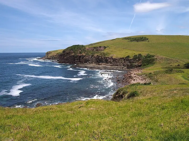
About 6 km and 2 hours, grade medium to hard. This is the wildest stretch, zigzagging over open coastal farmland with several climbs, where the Illawarra escarpment meets the sea. Kilometre markers explain the area's history and geology, and you pass remnants of rainforest and look down on the South Coast railway's tunnels, cut more than 120 years ago. The walk ends at Werri Lagoon and Werri Beach. From there Belinda Street leads 1.4 km to Gerringong station, past cafés and shops, or you can carry on round the headland to Boat Harbour; Gerroa is about 45 minutes further south.
Before you go
After heavy rain or big swells Werri Lagoon can open to the sea and cut off the way to Werri Beach, so call the Kiama Visitor Information Centre on 1300 654 262 for conditions. Cliff tops are unfenced in places, so keep children close. The south section is exposed to the weather, and in summer an early start avoids the heat. There are free water filling stations along the walk, so bring a bottle. Whales pass between May and November, and sea eagles and hawks are seen all year. The walk does not suit people with access needs, and horses and other large animals are not allowed on it. Check the Kiama Council Coast Walk page for the current track status, and the Destination Kiama walk page for maps.
Elevation
- Climb
- 330 m
- Descent
- 330 m
- Highest
- 46 m
- Lowest
- 1 m
Approximate, from a 30 m terrain model, so it can overstate the climb on cliff edge tracks.
Before you go
Tell your people where you are going
Set your route and return time in FriendsFindMe. If you do not check in, the people you trust are sent a text so they know to come looking for you.
Walk data: © OpenStreetMap contributors, ODbL