
About this walk
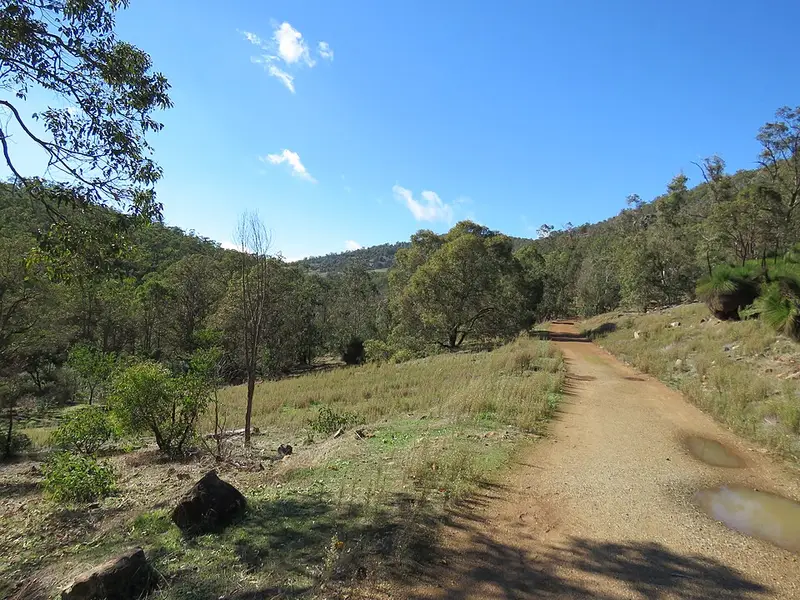
Kitty's Gorge Trail runs through Serpentine National Park between the old timber town of Jarrahdale and Serpentine Falls, following Gooralong Brook and then the Serpentine River through jarrah and marri forest, wandoo woodland and granite outcrops. This is the one way route from the Jarrahdale end to the falls. It is 7.88 km each way (15.76 km return) and moderately difficult, with steep sections, loose stones and uneven, slippery ground. It is Class 4, which means bushwalking experience, navigation and first aid skills and good fitness are recommended, and the return walk takes 3 to 5.5 hours.
The route
The trail leaves the Jarrahdale Cemetery car park on the southern section of Stacey's Loop, a 1.9 km loop you can use for a much shorter walk, then branches southwest down the valley past Gooralong Park, a regrowth forest area closed to vehicles with no facilities. Further down it follows the river past several small waterfalls and granite outcrops to Serpentine Falls, where water pours over granite into a rock lined pool, mostly during autumn and winter rain. Do not climb or jump from the falls, as people have died doing it. Start at Jarrahdale so the end with the big climb is behind you; there is a steep pipeline climb near the falls car park. Boardwalks can be slippery after rain.
Wildflowers peak in spring and fungi appear in autumn. The falls and creeks run best after winter rain and can be dry by late summer.
Getting there and facilities
Jarrahdale is about an hour south east of Perth along Jarrahdale Road; the store in town sells food and coffee. Serpentine Falls is reached from Falls Road, Serpentine, and has toilets, picnic tables and gas barbecues. A national park entry fee applies there ($17 per standard vehicle), the gates open 8.30 am to 5 pm with no vehicle entry after 4.15 pm, and the falls area often fills and closes to new arrivals, so arrive before 10 am. Pets and bikes are not allowed on the trail. Walking one way needs a car at each end.
Before you go
Carry at least a litre of water for every hour of walking, as there is no reliable water on the trail, and watch for ticks and snakes in warmer months. Check DBCA park alerts and the Serpentine National Park page before you go. Trails WA has a map.
Elevation
- Climb
- 30 m
- Descent
- 250 m
- Highest
- 265 m
- Lowest
- 44 m
Approximate, from a 30 m terrain model, so it can overstate the climb on cliff edge tracks.
Before you go
Tell your people where you are going
Set your route and return time in FriendsFindMe. If you do not check in, the people you trust are sent a text so they know to come looking for you.
Park and state forest boundaries: CAPAD 2024 © Commonwealth of Australia (DCCEEW), CC BY 4.0; © Forestry Corporation of NSW, CC BY 3.0 AU; © State of Queensland, CC BY 4.0; © State of Victoria (DEECA), CC BY 4.0
Walk data: © OpenStreetMap contributors, ODbL