
About this walk
The Lerderderg Track is the long south eastern leg of the Great Dividing Trail network, a shared walking and cycling route between Daylesford and Bacchus Marsh built and maintained by the volunteer Great Dividing Trail Association. This walk follows it end to end, from the lookout over Lake Daylesford at Bridport Street to Bacchus Marsh railway station. It is 84 to 90 kilometres long, Grade 3, and takes about a week on foot. The association divides it into seven walk or ride sections that can be done separately.
What you pass
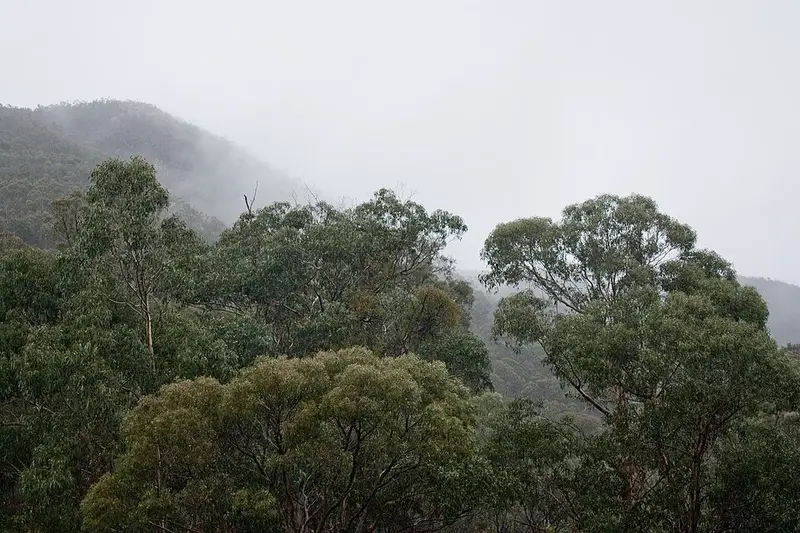
Almost all of the track lies in Wombat-Lerderderg National Park, created on 5 October 2026 from the former Lerderderg State Park and much of the former Wombat State Forest. It crosses the Country of the Dja Dja Wurrung, Wadawurrung and Wurundjeri Woi-wurrung peoples. The first half, as far as the town of Blackwood, runs through tall eucalypt forest, past places such as Graves Mill and Balt Camp, where ruins remain of a forestry camp for refugees from the Baltic states after the Second World War. Blackwood has miners' log cabins, historic hotels and a cemetery. The heritage listed Lerderderg River is the main feature of the track, and the country dries out as you head south: cool, fern lined river flats give way to stringybark and box forest, and the river has cut a gorge about 300 metres deep through sandstone and slate. The route also crosses Mount Blackwood, which has views towards Melbourne and the You Yangs. Gold mining relics, water races and old tunnels are scattered through the park. The final stretch is suburban streets through Bacchus Marsh, via Ramsay Crescent, Halletts Way and Maddingley Park to the station.
Expect rough, uneven ground, steps and short steep climbs, with the gorge sections the hardest. Signposts carry a sky blue stripe for this track, but the park is rugged and remote with limited directional signage, and there have been rescues that better preparation would have avoided. Carry a paper map and compass or a GPS and know how to use them; a phone app alone is not enough.
Camping and water
Balt Camp has a fire pit but no toilets or drinking water, and dogs on a lead may camp there. Elsewhere in the park, Lerderderg Campground, 5 kilometres from O'Briens Crossing on Upper Chadwick Track, has toilets, tables and fireplaces, with no bookings or fees. Ambler Lane campground is reached by four wheel drive or on foot, has no toilets, and its road closes seasonally. Bush camping is allowed in natural clearings in parts of the former Wombat State Forest, at least 20 metres from water. The river is the main water source and can run low in summer, so treat all of it and carry extra along the dry ridges.
Getting there
Daylesford is about 90 minutes from Melbourne by the Western Freeway, and V/Line trains run to Bacchus Marsh, so you can walk north to south and take the train home.
Before you go
Check the Wombat-Lerderderg National Park page for change of conditions notices, and VicEmergency for fire danger and Total Fire Ban days. The association publishes a 1:17,500 map guide to the track.
Elevation
- Climb
- 1,750 m
- Descent
- 2,200 m
- Highest
- 887 m
- Lowest
- 105 m
Approximate, from a 30 m terrain model, so it can overstate the climb on cliff edge tracks.
Before you go
Tell your people where you are going
Set your route and return time in FriendsFindMe. If you do not check in, the people you trust are sent a text so they know to come looking for you.
Park and state forest boundaries: CAPAD 2024 © Commonwealth of Australia (DCCEEW), CC BY 4.0; © Forestry Corporation of NSW, CC BY 3.0 AU; © State of Queensland, CC BY 4.0; © State of Victoria (DEECA), CC BY 4.0
Walk data: © OpenStreetMap contributors, ODbL