
About this walk
The Munjip Trail is Eurobodalla Council's coastal walk between Observation Point at Batehaven and McKenzies Beach near Malua Bay, about 15 km end to end, or 18 km if you take in every lookout. Munjip means walking together in the Dhurga language. This is the second of three sections, running from the south side of Malua Bay north over the headlands to Wimbie Beach near Surf Beach. Follow the signposts on the ground.
The route
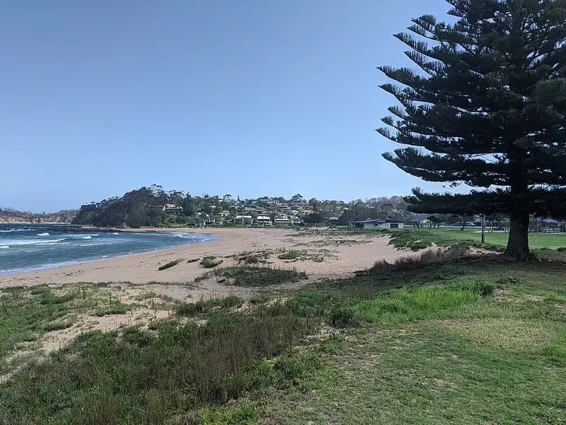
At Malua Bay, Nigel Stewart's murals and a yarning circle sit in Malua Bay Park. The trail climbs to a headland lookout with timber message poles, then crosses to Garden Bay and Mosquito Bay. At Mosquito Bay steep steps drop to the rock platforms; at low tide you can walk the beach and climb a steep ladder back onto the headland, and a signposted detour avoids it at high tide. Past Lilli Pilli and Circuit Beach the trail drops into Grandfathers Gully, Bulday Gagurr, with layered rock walls, a creek and scar trees, the trees Aboriginal people cut bark from. Beyond it a small secluded beach has the steepest, loosest ground of the whole walk, before the trail reaches Wimbie Beach, where a yarning circle holds a mural by Natalie Bateman. The council's Cultural Beauty short walk covers Wimbie Beach to Mosquito Bay, 4.3 km of mostly bush with some steep sections.
Underfoot and facilities
The trail is Grade 3, suitable for most ages and fitness levels, but expect short steep hills, rough surfaces, many steps and some rock platforms. There are toilets at Malua Bay Park, Mosquito Bay and Lilli Pilli, and parking at Malua Bay, Mosquito Bay and Wimbie Beach, so a car shuffle works well. There is no drinking water, so carry your own. Dogs must be on a lead.
The rest of the trail
North of Wimbie Beach the trail continues past Surf Beach, Denhams Beach, Sunshine Bay and Caseys Beach to the viewing deck at Observation Point. South of Malua Bay it heads out past Pretty Point to McKenzies Beach, where a whale tail sculpture marks the end.
Before you go
The beaches are unpatrolled and can have strong rips and sudden drops. Time the Mosquito Bay platforms for low tide and calm seas, or take the detour. Check for fire bans in periods of high fire danger, and check the Munjip Trail page for maps and trail news before you go, or call the visitor line on 1800 802 528.
Elevation
- Climb
- 190 m
- Descent
- 200 m
- Highest
- 50 m
- Lowest
- 2 m
Approximate, from a 30 m terrain model, so it can overstate the climb on cliff edge tracks.
Before you go
Tell your people where you are going
Set your route and return time in FriendsFindMe. If you do not check in, the people you trust are sent a text so they know to come looking for you.
Walk data: © OpenStreetMap contributors, ODbL