
About this walk
This is the southern and harder part of the Penguin Cradle Trail, the volunteer built walk that links the north west Tasmanian coast at Penguin with Cradle Mountain. This walk starts south of Gunns Plains, where the trail leaves the farmland and enters the Leven Valley, and follows it up through the Leven Canyon country, over Black Bluff and along the Black Bluff Range to Cradle Mountain. Section 1 of 2 covers the stretch from Penguin to Gunns Plains. The whole walk is about 76 to 80 kilometres over 5 to 7 days.
The Leven Valley and the canyon
South of Gunns Plains the track narrows into rainforest in the steep Leven Valley and follows the river, sometimes on the bank and sometimes above it, past waterholes and a side trip to a waterfall. The biggest climb takes you around the Leven Canyon itself, a deep gorge the river has cut through the Loongana Range, with a short side track to look down into it. Gunns Plains to Loongana is the hardest part of the trail. Side streams can flood quickly after heavy rain and hold you up for a day or so, a few short stretches may trouble anyone afraid of heights, and one spot has a fixed rope. A taped route down a steep waterfall near the rope is not the real track, which stays at river level. Walk north to south, because there are more places to camp if you have to wait. Blackwood Camp is in this valley.
Near Loongana, the trail between marker posts 14 and 15 is overgrown with foxglove, an invasive and toxic weed. Take the road to Taylors Flats instead so the seed is not carried onto the range.
Black Bluff to Cradle Mountain
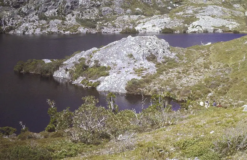
From Taylors Flats the trail climbs Black Bluff to Paddys Lake, under the summit and edged with Tasmanian conifers, then crosses open subalpine heath with boronia and richea, with views to the West Coast Ranges and the Vale of Belvoir. After Mount Beecroft it drops into valleys with waterfalls, pandani, and myrtle and King Billy pine rainforest, and finishes on a busy track to Cradle Mountain Lodge. This part is mostly above 900 metres and can bring fog, snow and strong wind. It is marked with orange triangles, marker poles and some signs, and by May 2026 contractors had cleared the range from Belvoir Road to Paddys Lake.
Before you go
There are no facilities on the trail and only limited ones at Cradle Mountain, where you need a Tasmanian parks pass. Reception is patchy and Telstra only. Planned burns on the Black Bluff Range and Speeler Plains can happen at short notice, so follow any Parks and Wildlife signs. Read the North West Walking Club track updates, and check the Parks and Wildlife Service alerts page and the Cradle Mountain page before you go.
Elevation
- Climb
- 2,600 m
- Descent
- 1,850 m
- Highest
- 1,248 m
- Lowest
- 80 m
Approximate, from a 30 m terrain model, so it can overstate the climb on cliff edge tracks.
Before you go
Tell your people where you are going
Set your route and return time in FriendsFindMe. If you do not check in, the people you trust are sent a text so they know to come looking for you.
Park and state forest boundaries: CAPAD 2024 © Commonwealth of Australia (DCCEEW), CC BY 4.0; © Forestry Corporation of NSW, CC BY 3.0 AU; © State of Queensland, CC BY 4.0; © State of Victoria (DEECA), CC BY 4.0
Walk data: © OpenStreetMap contributors, ODbL