
About this walk
Shepherds Lookout Loop is one of the walking tracks in the Ginninderry Conservation Corridor, the band of woodland, grassland and river country along the Murrumbidgee River and Ginninderra Creek on Canberra's northwest edge. The Ginninderry Conservation Trust looks after the corridor and its track network. The Shepherds Lookout Loop takes in the 3.4 km track from The Link community centre in Strathnairn to Shepherds Lookout, plus a 1.2 km spur from Wallaroo Spur to Burin Lookout. This walk covers the loop through the southern end of the corridor, from near Wallaroo Spur and Gruner's Vista round to the lookout, and does not include the walk in from The Link.
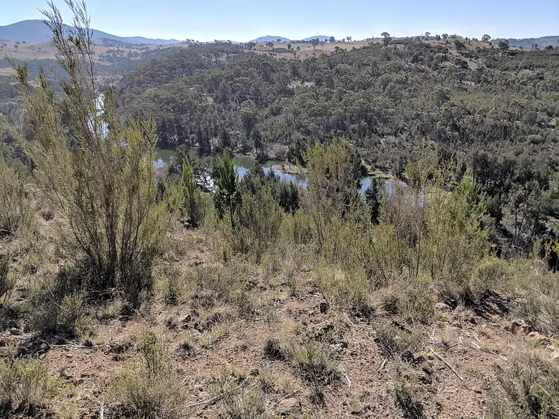
Shepherds Lookout itself is in Woodstock Nature Reserve. It is the ACT's northernmost viewpoint over the Murrumbidgee, named after landholders nearby. For thousands of years this stretch of river gave the Ngunnawal people water, fish, yabbies and waterbirds, and it is still habitat for platypus and the endangered Macquarie perch and Murray cod. Black cypress pine grows on the thin rocky soil here, and gang gang cockatoos feed on its winged seeds. The power lines you see crossing the river about 3 km downstream mark the ACT border.
At Gruner's Vista, a reproduction of Elioth Gruner's 1937 painting Weetangera stands close to where he painted it, displayed under licence from the Art Gallery of NSW. The track opened in 2022 and winds through cypress pine forest, stringybark woodland, tea tree scrub and native grassland, with three sculptures along the way.
What it is like underfoot
Every corridor track is Australian Walking Track Grade 3: a formed earth track suited to most ages and fitness levels, with some bushwalking experience recommended. Expect short steep hills, a rough surface in places and many steps. Snakes live here, so watch your footing, and leave fallen timber where it lies because it is wildlife habitat.
Getting there
From The Link, 1 McClymont Way, Strathnairn (off Pro Hart Avenue), the Ginninderry to Shepherds Lookout walk is 6.8 km return, about 4.5 hours, moderate. There is a much shorter way in from Stockdill Drive, 3 km southwest of Ginninderry: 1.2 km return, about 45 minutes, easy. A third route comes up from Uriarra East picnic area on the Uriarra Loop, crossing the Molonglo River on a footbridge (6.5 km return, about 4 hours).
Facilities and rules
The nearest toilets and water are at The Link building. Dogs are not allowed in the conservation corridor, and bikes are restricted to maintenance tracks. The Ginninderry app has an interactive map and a self guided audio tour of the Strathnairn to Shepherds Lookout walk. The loop shares track with the Nguurung Bila Loop, named from the Ngunnawal word for "river campsite", which leads on to Nguurung Lookout above the river.
Check the Ginninderry corridor walking tracks page, the ACT Parks Shepherd's Lookout page and the ACT Parks alerts page before you go.
Elevation
- Climb
- 100 m
- Descent
- 100 m
- Highest
- 596 m
- Lowest
- 533 m
Approximate, from a 30 m terrain model, so it can overstate the climb on cliff edge tracks.
Before you go
Tell your people where you are going
Set your route and return time in FriendsFindMe. If you do not check in, the people you trust are sent a text so they know to come looking for you.
Park and state forest boundaries: CAPAD 2024 © Commonwealth of Australia (DCCEEW), CC BY 4.0; © Forestry Corporation of NSW, CC BY 3.0 AU; © State of Queensland, CC BY 4.0; © State of Victoria (DEECA), CC BY 4.0
Walk data: © OpenStreetMap contributors, ODbL