
About this walk
Stockyard Spur is the steep way into the Brindabella high country from Corin Dam in Namadgi National Park, ACT. This walk runs from the car park at the end of Corin Road up the spur to its junction with Mt Franklin Road, the closed management road that follows the top of the range. It is 13 km return to that junction, about 5 hours, and Grade 5, the top of the walking track grading scale, for roughly 700 metres of climbing.
The climb
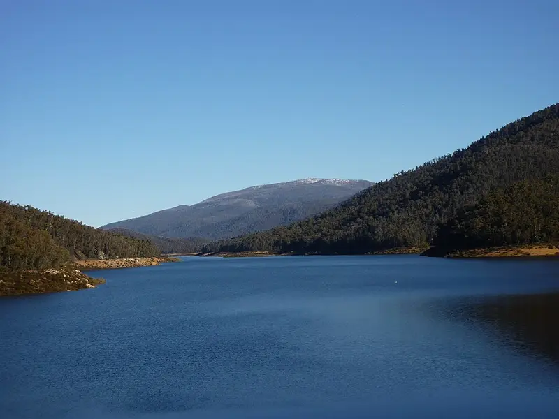
The first 2 to 2.5 km is the hard part. There is about 580 metres of ascent on that stretch, much of it up stone and old railway sleeper steps, with a seat and lookout over Corin Dam about 200 metres in. Once you top out on the spur, near 1,500 metres, a narrow track crosses a grassy clearing with a helipad and joins a wider management trail that rises gently along the spur for about 4 km through snow gum and mountain gum forest. A rock outcrop along the way looks across to Little Ginini and the Bimberi Range. Markers are few and there is little signage, and the track can be hard to follow under snow.
Going further
From the junction, Pryors Hut is about 1 km along Mt Franklin Road. Built in 1952 for alpine plant work, it now serves as an emergency shelter. There is a 23 km return option from Corin Dam to Pryors Hut and Mount Gingera, at 1,847 metres the ACT's second highest peak, taking 8 to 9 hours. The shorter approach to Gingera starts from Mt Franklin Road itself.
Getting there
Corin Dam is about an hour and 60 km from central Canberra: turn off Tidbinbilla Road onto Corin Road and drive to its end. The road is sealed but can be icy, and can close for snow and on total fire ban days. The car park holds about 12 to 15 cars, with an overflow car park about 150 metres away on the Canberra side of the dam.
Before you go
There is no water on the track, so carry all you need. Sign the walks register at the start. Dogs are not allowed in Namadgi. Snow is likely from late April to late September, and the Gingera walk is not advised in winter because the weather turns quickly and access roads can close. Phone signal is patchy. You can hire a personal locator beacon from the Namadgi Visitor Centre near Tharwa (02 6237 5307). Check the ACT Parks alerts page and the Namadgi walking tracks page before you go.
Elevation
- Climb
- 780 m
- Descent
- 110 m
- Highest
- 1,695 m
- Lowest
- 971 m
Approximate, from a 30 m terrain model, so it can overstate the climb on cliff edge tracks.
Before you go
Tell your people where you are going
Set your route and return time in FriendsFindMe. If you do not check in, the people you trust are sent a text so they know to come looking for you.
Park and state forest boundaries: CAPAD 2024 © Commonwealth of Australia (DCCEEW), CC BY 4.0; © Forestry Corporation of NSW, CC BY 3.0 AU; © State of Queensland, CC BY 4.0; © State of Victoria (DEECA), CC BY 4.0
Walk data: © OpenStreetMap contributors, ODbL