
About this walk
The Coastal Walk follows the rocky shoreline of the Headland section of Noosa National Park, between the Noosa Headland day use area at the end of Park Road in Noosa Heads and the northern end of Sunshine Beach. It is 10.8 km return, allow 4 hours, and a Grade 4 walking track overall.
This walk runs from the southern end of Alexandria Bay, around the headland at Hell's Gates and west along the coast, finishing roughly a kilometre short of the day use area. The sealed first stretch past Boiling Pot and the beach walk on to Sunshine Beach are not included.
What you see
The track crosses a string of headlands covered in coastal she oaks and pandanus palms, with lookouts over waves breaking into the rocks at Boiling Pot (300 metres from the day use area), Dolphin Point (1.2 km) and Hell's Gates (2.7 km). Koalas are often seen in the trees near the day use area and along the tracks, and lace monitors sunbake on tree trunks. Between June and November humpback whales pass along the coast, and Dolphin Point and Hell's Gates are the best places to watch for them, along with turtles and dolphins.
What it is like underfoot
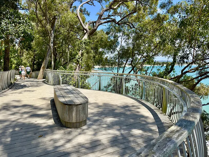
From the day use area the path is sealed and barrier free as far as Dolphin Point, with short grades steeper than 1 in 10. Between Dolphin Point and Hell's Gates the track is unsealed, with steps and steep pitches, and is not suitable for wheelchairs or strollers. The Alexandria Bay section crosses the beach, which is affected by storm surges and tides. Keep well back from cliff edges and hold on to children. Bikes, scooters and skateboards are not allowed on any track in the park.
Safety
The beaches around the park are not patrolled, and the surf at Alexandria Bay can be dangerous; swim at the patrolled beaches at Noosa Heads and Sunshine Beach instead. Emergency radios stand on the Coastal Walk at the northern entrance to Alexandria Bay and where the Alexandria Bay Walk meets the beach. Serious assaults have happened in the park, so walk with a group or within sight of another, stay on marked tracks and walk in daylight. Carry water and a hat, as the headlands are exposed.
Getting there and facilities
The main car park at the end of Park Road is busy and has four hour council parking, so walk, ride or take the bus: it is 1 km along the seaside boardwalk from Hastings Street. The day use area has picnic tables, electric barbecues, drinking water and toilets, and there are toilets and tap water near Tea Tree Bay. For the southern end, park at Belmore Terrace or Seaview Drive in Sunshine Beach and walk north along the beach. The Coastal Walk page has the full details. Check Queensland park alerts before you go.
Elevation
- Climb
- 100 m
- Descent
- 100 m
- Highest
- 55 m
- Lowest
- 6 m
Approximate, from a 30 m terrain model, so it can overstate the climb on cliff edge tracks.
Before you go
Tell your people where you are going
Set your route and return time in FriendsFindMe. If you do not check in, the people you trust are sent a text so they know to come looking for you.
Park and state forest boundaries: CAPAD 2024 © Commonwealth of Australia (DCCEEW), CC BY 4.0; © Forestry Corporation of NSW, CC BY 3.0 AU; © State of Queensland, CC BY 4.0; © State of Victoria (DEECA), CC BY 4.0
Walk data: Queensland Parks and Wildlife Service access © The State of Queensland 2025, CC BY 4.0