
About this walk
The Conondale Range Great Walk is a four day circuit of about 56 kilometres through Conondale National Park in the Sunshine Coast hinterland, starting and finishing at the Booloumba Creek day use area west of Kenilworth. It divides into four sections, S1 to S4, and the whole walk is Grade 4. This section covers most of the circuit. In walking order it runs from Mount Allan down to Booloumba Creek, then through S1, S2 and S3 to Summer Falls walkers' camp. The short stretch between Summer Falls camp and Mount Allan is the second section.
The route
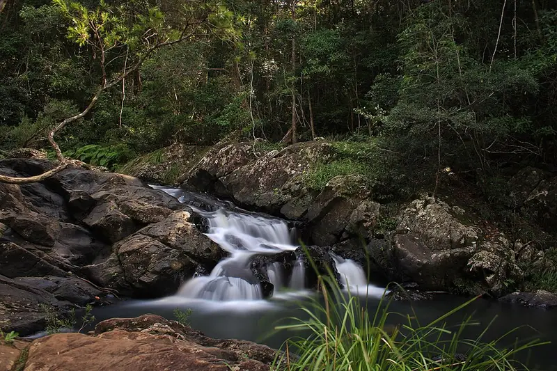
S1, Booloumba Creek to Wongai walkers' camp (11 kilometres, allow 6 hours), follows Booloumba Creek through rainforest of bunya and hoop pines, piccabeen palms and tall flooded gums. Side tracks lead to an old gold mine and to Strangler Cairn, a 3.7 metre stone sculpture by Andy Goldsworthy with a strangler fig growing from its top. After rock hopping at Artists Cascades, phyllite steps climb out of Booloumba Gorge, and a spur leads to Booloumba Falls and a view of The Breadknife, a rock formation carved by water where Booloumba and Peters creeks meet.
S2, Wongai to Tallowwood walkers' camp (17 kilometres, allow 8 hours), is the longest day. It climbs through big bunya pines and strangler figs, then follows old logging tracks and fire trails, the wide gravel roads rangers use, up to Mount Gerald, with glimpses of the coast. Watch the map and signs where the walk leaves the South Goods fire trail. Mount Langley, at 868 metres the highest peak in the range, is passed along the way.
S3, Tallowwood to Summer Falls walkers' camp (15.2 kilometres, allow 7 hours), descends through rainforest and brush box forest to Peters Creek, with a spur to the top of Peters Falls, crosses Sunday Creek Road and follows Summer Creek, with its rock pools, to Summer Falls.
From Mount Allan the final part of S4 winds down past gullies to Booloumba Creek, changing from tall eucalypt forest back to rainforest.
Camping and water
Each of the three walkers' camps has six sites for up to four people, a toilet, platform seats and untreated tank water, and you may stay one night at each. Permits and fees apply; book online, up to 12 months ahead, and early for weekends and holidays. Fires are banned, so carry a fuel stove, and no dogs are permitted. Carry 4 to 6 litres of water a day and treating all water. Summer Falls camp has no mobile coverage.
Before you go
All park roads are gravel and suited to high clearance four wheel drives only, and Booloumba Creek Road has several creek crossings that flood quickly after heavy rain. You need the topographic map brochure, a compass, a personal locator beacon and at least one other experienced walker. Expect steep grades, creek crossings, stinging trees and lawyer vine. Spring is usually the most pleasant time; summers top 30°C and winter nights drop below zero. Read the Conondale Range Great Walk walking page and check Queensland park alerts before you go.
Elevation
- Climb
- 1,650 m
- Descent
- 1,500 m
- Highest
- 836 m
- Lowest
- 164 m
Approximate, from a 30 m terrain model, so it can overstate the climb on cliff edge tracks.
Before you go
Tell your people where you are going
Set your route and return time in FriendsFindMe. If you do not check in, the people you trust are sent a text so they know to come looking for you.
Park and state forest boundaries: CAPAD 2024 © Commonwealth of Australia (DCCEEW), CC BY 4.0; © Forestry Corporation of NSW, CC BY 3.0 AU; © State of Queensland, CC BY 4.0; © State of Victoria (DEECA), CC BY 4.0
Walk data: Queensland Parks and Wildlife Service access © The State of Queensland 2025, CC BY 4.0