
About this walk
The Illinbah circuit is a long, hard day in the Coomera River valley below Binna Burra, in Lamington National Park. It is Grade 5, the top walking grade, and a 16.6 km circuit taking about 8 hours, for fit and experienced walkers only. The loop starts from the Binna Burra lower day use area.
The walk
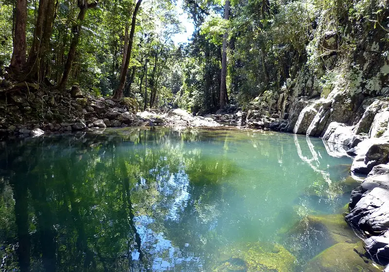
Walk it clockwise. From the lower day-use area you drop steeply on the Gwongoorool track through open forest and rainforest to the Coomera River. You then follow the Old Cedar Road, a route timber getters used in the late 1800s, crossing the river 12 times by stepping from rock to rock or wading. Along the way are tall, slender piccabeen palms, a huge strangler fig and giant red cedars in endangered lowland subtropical rainforest. The drier rainforest on the western bank is home to the shy black-breasted button-quail. The circuit then leaves the river and climbs the Beechmont Range back to Binna Burra. In hot weather anticlockwise may be less strenuous.
River crossings
The crossings are the main hazard. Do not try to cross when the river is in flood, during heavy rain or after it, because you could be caught between crossings, and heavy rain can send a sudden flash flood down the river and gullies. Carry plenty of drinking water. Swimming is discouraged throughout the World Heritage area.
Camping
Illinbah bush camp is a rough site in open forest beside the Coomera River, about 8 km and 4 hours from the trailhead. It takes a maximum of 6 people, for one night only, and has no facilities: treat creek water, use a fuel stove (no fires) and carry out all rubbish. It is open from 1 February to 30 November, must be booked with a permit, and you should check the Coomera River heights before you set out.
Getting there
The Binna Burra lower day-use area is on Binna Burra Road, 1.7 km from the park entrance, reached via Nerang and Beechmont. It has flush toilets, picnic tables, the Binna Burra information centre and the old foresters' hut. Dogs are not allowed in the park.
Mobile coverage is unreliable, so leave your walk plan with someone and do not start long walks after midday. Check the Queensland park alerts, the Illinbah circuit page and the Illinbah bush camp page before you go.
Elevation
- Climb
- 490 m
- Descent
- 500 m
- Highest
- 640 m
- Lowest
- 296 m
Approximate, from a 30 m terrain model, so it can overstate the climb on cliff edge tracks.
Before you go
Tell your people where you are going
Set your route and return time in FriendsFindMe. If you do not check in, the people you trust are sent a text so they know to come looking for you.
Park and state forest boundaries: CAPAD 2024 © Commonwealth of Australia (DCCEEW), CC BY 4.0; © Forestry Corporation of NSW, CC BY 3.0 AU; © State of Queensland, CC BY 4.0; © State of Victoria (DEECA), CC BY 4.0
Walk data: Queensland Parks and Wildlife Service access © The State of Queensland 2025, CC BY 4.0