
About this walk
The Mount Mitchell track climbs from Cunninghams Gap to the twin peaks of Mount Mitchell, in the Cunninghams Gap section of Main Range National Park, about 120 km south west of Brisbane. This walk is the track one way, between the summit and The Crest car park on the Cunningham Highway. It is 10.2 km return, about 3.5 hours, Grade 4, which means some bushwalking experience is needed and you should expect steep sections.
The walk
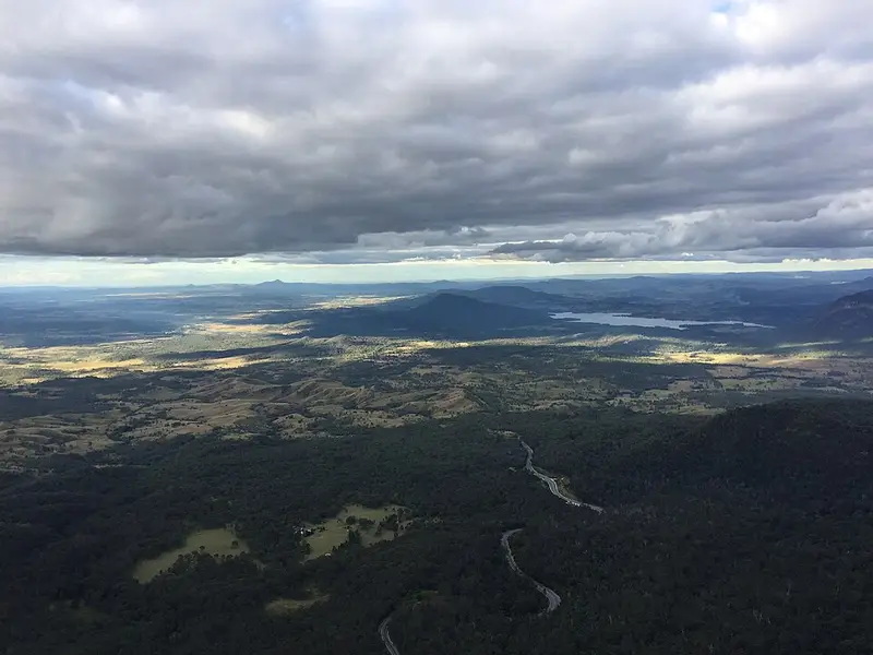
From The Crest the track works up the northern flank of the mountain, steeply around West Peak (1,162 m) and onto the saddle between the two peaks. It passes through woodland, rainforest and montane heath, the low scrubby plants of high, exposed ground, and cloud often settles over it. The finish is a knife edge ridge above a sheer cliff on East Peak (1,175 m). The natural lookout there looks over the Fassifern and Millar Vale Creek valleys to mounts Maroon, Lindesay, Barney and Ballow. Watch for peregrine falcons and other raptors over the peaks. Not all lookouts in this park have handrails, so keep back from the edge.
Getting there and facilities
The Crest is on the Cunningham Highway, 116 km south west of Brisbane or 50 km east of Warwick, about 2 km inside the park from either entrance. It has non flush toilets (wheelchair accessible) and parking. Thefts from cars have happened in Main Range, so take your valuables with you. Dogs and other pets, apart from registered service animals, are not allowed anywhere in the park.
Nearby
Every track in the Cunninghams Gap section starts at The Crest, including the Mount Cordeaux track (6.8 km return), the Bare Rock track, the Box Forest track and the Rainforest circuit. The four day Scenic Rim Trail ends here.
Before you go
Weather on Main Range changes quickly. Summer can reach 35°C on exposed ridges and brings thunderstorms with lightning and sudden cold, while winter nights are frosty. Walk in daylight only, carry water, a hat and a first aid kit, and watch for ticks, leeches, stinging trees and snakes. Mobile coverage is unreliable, though you may get a signal on high ground. Check the Queensland park alerts and the Mount Mitchell track page before you go.
Elevation
- Climb
- 130 m
- Descent
- 430 m
- Highest
- 1,112 m
- Lowest
- 776 m
Approximate, from a 30 m terrain model, so it can overstate the climb on cliff edge tracks.
Before you go
Tell your people where you are going
Set your route and return time in FriendsFindMe. If you do not check in, the people you trust are sent a text so they know to come looking for you.
Park and state forest boundaries: CAPAD 2024 © Commonwealth of Australia (DCCEEW), CC BY 4.0; © Forestry Corporation of NSW, CC BY 3.0 AU; © State of Queensland, CC BY 4.0; © State of Victoria (DEECA), CC BY 4.0
Walk data: Queensland Parks and Wildlife Service access © The State of Queensland 2025, CC BY 4.0