
About this walk
The Somerset trail is a half day circuit in the northern, Mount Mee section of D'Aguilar National Park, about 70 kilometres north of Brisbane. It starts and finishes opposite The Gantry day use area. It is a 13 kilometre circuit, Grade 4; allow 4 hours. Grade 4 tracks can be steep and rough in places and suit walkers with some bushwalking experience.
What you see
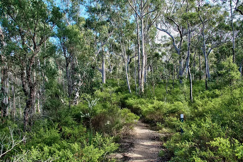
The track winds through a changing mix of forest: lush rainforest, scribbly gum forest, montane heath and groves of piccabeen palms. Fruit doves and flying foxes feed on rainforest fruits, and in the drier open forest the scratch marks on trunks show where possums, goannas and other climbing animals have been. The squiggles on the scribbly gum trunks are trails left by the larvae of wood boring moths.
About halfway round is Somerset lookout, the park's best view, looking west over Somerset Dam and Lake Wivenhoe. The track runs close to unfenced cliff edges here. Stay on the formed track, keep well back from the edge, do not climb the rocks around the cliffs, and keep children close.
The Gantry itself is named for the timber gantry left from a large sawmill that ran on the site from the 1930s, its boilers driving a steam engine, until 1981. The shorter Piccabeen walk also starts opposite the picnic area.
Getting there
From Dayboro, drive 24 kilometres via Mount Mee Road (tourist route 29) and Sellin Road to the park entrance, then 920 metres on to The Gantry. That road is suitable for conventional two wheel drive cars. From the north, via Woodford and the Mount Mee forest drive, you need a four wheel drive or trail bike, and the forest roads have a 40 km/h limit.
Facilities and rules
The Gantry has flush toilets, picnic tables and free electric barbecues, with wheelchair accessible parking, toilets and tables; the trail itself is not wheelchair accessible. Safe drinking water in D'Aguilar is available only at Walkabout Creek Discovery Centre in the southern section, so bring your own and treat any water you collect in the park. Domestic animals are not allowed anywhere in the national park. The trail is open 24 hours a day.
Check the Somerset trail page, which links a trail map, and Queensland park alerts before you go.
Elevation
- Climb
- 290 m
- Descent
- 320 m
- Highest
- 662 m
- Lowest
- 475 m
Approximate, from a 30 m terrain model, so it can overstate the climb on cliff edge tracks.
Before you go
Tell your people where you are going
Set your route and return time in FriendsFindMe. If you do not check in, the people you trust are sent a text so they know to come looking for you.
Park and state forest boundaries: CAPAD 2024 © Commonwealth of Australia (DCCEEW), CC BY 4.0; © Forestry Corporation of NSW, CC BY 3.0 AU; © State of Queensland, CC BY 4.0; © State of Victoria (DEECA), CC BY 4.0
Walk data: Queensland Parks and Wildlife Service access © The State of Queensland 2025, CC BY 4.0