
About this walk
The Thorsborne Trail runs down the east coast of Hinchinbrook Island, in Hinchinbrook Island National Park between Cardwell and Lucinda, and within the Great Barrier Reef World Heritage Area. It is named after Arthur Thorsborne, who with his wife Margaret had a lifelong interest in nature conservation. It is 32 km one way, graded Difficult, and you need at least three nights and four days. This walk follows the trail from Ramsay Bay in the north to George Point in the south. The Bandjin and Girramay people know the island as Munamudanamy.
The route
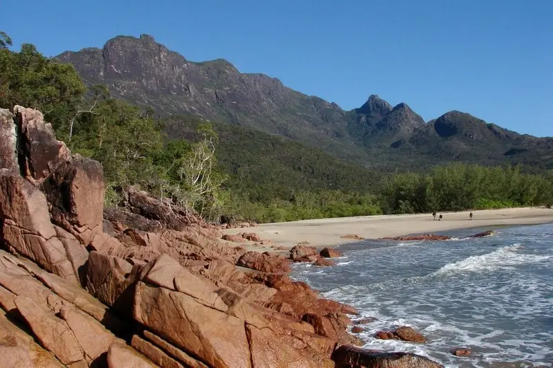
North to south, the trail has seven legs. From the Ramsay Bay boardwalk it is 4 km over a ridge, along Blacksand Beach and through mangroves (best crossed at low or half tide) to Nina Bay. Next comes 2.5 km over a headland and rock hopping around Boulder Bay to Little Ramsay Bay. The longest leg, 10.5 km, passes the side track to Banksia Bay, climbs a saddle and winds through rainforest and palm swamps, where markers can be hard to see, to Zoe Bay; Zoe Falls is a few minutes from the camp. From Zoe Bay the trail climbs granite slabs above the falls to a saddle 260 m above the sea, the highest point, with views to the Palm Islands, then drops through heath with blue banksia to Diamantina Creek, 6.5 km in all. Mulligan Falls camp is 1 km further. The last 7.5 km follows the coast through rainforest and then 5 km of beach along Mulligan Bay to George Point. Orange markers guide you southbound and yellow markers northbound.
Camping and water
There are seven camping areas, with toilets at some. Permits are booked for the trail as a whole rather than for individual sites, at most 12 people may start each day, the largest group is six, and you may stay two nights per camp (one at Mulligan Falls). Permits are released in seasons and the April to September peak usually books out quickly. There is water at creeks near most camps but it becomes scarce in the dry season; allow about 4 litres per person a day and treat it. Collect water at Mulligan Falls, as there is none reliable further south. No fires are allowed. Use the pack racks, because native rats chew into packs.
Getting there
Access is by private boat from Cardwell or Lucinda, or by commercial ferry, and operators may drop off and collect walkers only at the two trailheads.
Before you go
The trail closes every year from the start of January to the end of February, and October to March is very hot and humid, with rising creeks once the rain starts. Take care at Zoe, Diamantina and Mulligan creeks (cross Mulligan Creek at low to half tide, with tides up to 4 m), keep out of the restricted area at Mulligan Falls, where people have died, and do not swim in tidal water because of crocodiles and stingers. Leave your plans with a contact person. Check the Thorsborne Trail park alerts and the QPWS track notes before you go.
Elevation
- Climb
- 700 m
- Descent
- 700 m
- Highest
- 236 m
- Lowest
- 4 m
Approximate, from a 30 m terrain model, so it can overstate the climb on cliff edge tracks.
Before you go
Tell your people where you are going
Set your route and return time in FriendsFindMe. If you do not check in, the people you trust are sent a text so they know to come looking for you.
Park and state forest boundaries: CAPAD 2024 © Commonwealth of Australia (DCCEEW), CC BY 4.0; © Forestry Corporation of NSW, CC BY 3.0 AU; © State of Queensland, CC BY 4.0; © State of Victoria (DEECA), CC BY 4.0
Walk data: Queensland Parks and Wildlife Service access © The State of Queensland 2025, CC BY 4.0