
About this walk
The Wanggoolba walk is one of the access tracks onto the K'gari Great Walk. It crosses the western side of K'gari, in K'gari, Great Sandy National Park on Butchulla Country, linking the Wanggoolba Creek barge landing with Central Station in the middle of the island. It is 14.5 kilometres one way, about 5.5 hours, Grade 4. That figure includes the first 2.8 kilometres from the barge landing to where the walking track leaves on your left, and the last stretch into Central Station.
This walk covers the western part: from the barge landing area to the point north of Central Station where the track meets the Great Walk. To reach Central Station from there, or to make the side trip to Basin Lake, you continue on the Great Walk.
What it is like
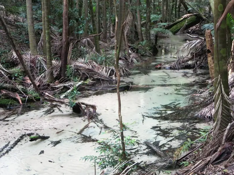
The walk starts low, in mangroves on the salt flats near the mouth of Wanggoolba Creek, which are nursery ground for fish and crabs. Moving inland, the plants change to wet wallum banksia woodland, then drier eucalypt forest with groves of she oak and bloodwood, and finally rainforest as you near Central Station. Basin Lake is a deep lake fringed with reeds and a white sand shore; expect a steep climb at the start of the Basin Lake track. Most K'gari tracks are firm sand, but expect soft sections that slow you down, fallen trees and long slopes.
Getting there
Vehicle barges run from River Heads, east of Maryborough, to the Wanggoolba Creek landing in 30 to 45 minutes. They run at set times and booking is preferred. Walkers can travel on the barge on foot, so you can start this walk without a car. If you drive on the island you need a high clearance 4WD with low range and a vehicle access permit.
Facilities and camping
Central Station has toilets, picnic tables and treated water, and the Central Station walkers' camp sits under satinay, brush box and kauri pines, with coin showers at the nearby camping area. Camping needs a booked permit. The K'gari Great Walk is generally open from 1 March to 31 October, when the fire risk is lower.
Before you go
Wongari (dingoes) are wild here: never walk alone, do not run, and keep children within arm's reach. Carry water and wear sturdy shoes. Check the Queensland park alerts and the Wanggoolba walk page before you go.
Elevation
- Climb
- 90 m
- Descent
- 170 m
- Highest
- 102 m
- Lowest
- 0 m
Approximate, from a 30 m terrain model, so it can overstate the climb on cliff edge tracks.
Before you go
Tell your people where you are going
Set your route and return time in FriendsFindMe. If you do not check in, the people you trust are sent a text so they know to come looking for you.
Park and state forest boundaries: CAPAD 2024 © Commonwealth of Australia (DCCEEW), CC BY 4.0; © Forestry Corporation of NSW, CC BY 3.0 AU; © State of Queensland, CC BY 4.0; © State of Victoria (DEECA), CC BY 4.0
Walk data: Queensland Parks and Wildlife Service access © The State of Queensland 2025, CC BY 4.0