
About this walk
The Aroona to Youngoona Hike is the long, one way walk of the Haywards Huts Hike Network in the north of Ikara-Flinders Ranges National Park. It links the Aroona Valley with the ruin of Youngoona Hut near Brachina Gorge Road, following the bridle paths that pastoralist Frederick Hayward and his overseer rode between their shepherds' huts in the 1850s. This walk runs from the Youngoona end to Aroona. It is a hard hike of 15 to 15.4 kilometres, about 7 hours one way. Hard here means some steep climbs, a loose and uneven surface, and some hiking experience.
The route
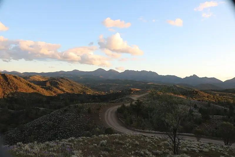
The hike joins three marked sections. From the Aroona trailhead it follows the Yuluna Hike up Yuluna Creek through the quartzite of the ABC Range, then the Haywards Hike over low hills of Brachina Formation siltstone, then the last part of the Trezona Hike. Highlights include Brachina Lookout, a hilltop with views to St Mary Peak, Mount Hayward and Haywards Bluff; the ruins of Monela Hut, an 1851 pug and pine cottage of which the collapsed chimney still stands; the headwaters of Brachina Creek lined with river red gums; and stromatolites, some of the earliest evidence of life on earth, near the Youngoona end. The hopbushes colour up in September. Watch the trail markers at each checkpoint junction.
Getting there
Aroona trailhead is about 50 kilometres north of Wilpena and 7 kilometres north of Brachina Gorge Road. Youngoona trailhead is beside the Youngoona Hut ruin, 600 metres north of Brachina Gorge Road. You need transport at each end. Aroona and Youngoona campgrounds sit at the two ends and Trezona campground is a short way off the trail, all with toilets; camping fees must be paid before you arrive, and a vehicle entry fee applies.
Before you go
Do not rely on tanks or creeks for drinking water: carry 4 litres per person per day. The cooler months from April to October suit this walk; summer maximums reach 30 to 45 degrees. Tell someone your route and return time, because searches only start when staff are told a walker is overdue. Dogs are not permitted, and all trails close on days of Catastrophic fire danger. Check the park page and the closures and alerts page before you go. The Haywards Huts Hike Network brochure has the checkpoint notes and map.
Elevation
- Climb
- 250 m
- Descent
- 260 m
- Highest
- 544 m
- Lowest
- 380 m
Approximate, from a 30 m terrain model, so it can overstate the climb on cliff edge tracks.
Before you go
Tell your people where you are going
Set your route and return time in FriendsFindMe. If you do not check in, the people you trust are sent a text so they know to come looking for you.
Park and state forest boundaries: CAPAD 2024 © Commonwealth of Australia (DCCEEW), CC BY 4.0; © Forestry Corporation of NSW, CC BY 3.0 AU; © State of Queensland, CC BY 4.0; © State of Victoria (DEECA), CC BY 4.0
Walk data: Recreation Trails © Crown in right of the State of South Australia (Department for Environment and Water), CC BY 4.0