
About this walk
This piece of the Heysen Trail runs from Inman Valley on the Fleurieu Peninsula north through the Adelaide Hills to Mount Crawford Forest, near the head of the Barossa. It is the second of four pieces the trail is split into here. The Heysen Trail as a whole runs about 1,200 kilometres from Cape Jervis to Parachilna Gorge in the Flinders Ranges, and is maintained by the Department for Environment and Water and the Friends of the Heysen Trail. Inman Valley is 89.9 kilometres from Cape Jervis and Chalks Campground in Mount Crawford Forest is 283.6.
The route
From Inman Valley the trail climbs Sugarloaf Hill, crosses Myponga Conservation Park and Yulte Conservation Park, and rises to Mount Cone, with views back to Victor Harbor. It then passes the dairy country of Mount Compass and Nangkita, Finniss and Mount Magnificent conservation parks, Kyeema Conservation Park and the pine plantations of Kuitpo Forest. North of Kuitpo it goes through the Jupiter Creek Goldfields, a site from South Australia's gold rush.
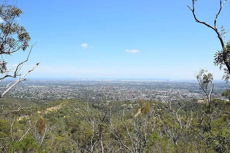
The middle of this section is the most populated part of the whole trail, through Mylor, Bridgewater, Mount George Conservation Park, Mount Lofty Botanic Garden and Cleland National Park, past Mount Lofty summit. It continues through Horsnell Gully and Morialta with views over Adelaide, then makes a long, steep drop to Sixth Creek and climbs through Montacute Conservation Park. The country between Montacute and Cudlee Creek burnt in 2019 and is regrowing. The last stretch crosses rolling hills towards Mount Gould and runs through Mount Crawford Forest, Warren Conservation Park and Little Mount Crawford.
Towns, huts and campsites
Myponga and Mount Compass are each about 2 kilometres off the trail. Stops include Mount Cone Tank (water only), Chookarloo Campground in Kuitpo Forest, Rocky Creek Hut, Mylor Hampton campsite, Woodhouse Activity Centre, Cleland Cottage, Grandad's walk in site at South Cudlee Creek, Scotts Shelter and Chalks Campground. Treat any tank water and carry enough in case a tank is dry.
Before you go
All of this section is in the Mount Lofty Ranges fire ban district. The trail closes there for the Fire Danger Season, set each year by the CFS (1 December to 30 April in 2025 to 2026), and Heysen Trail and ForestrySA huts and campsites close with it. Trails in national parks, forests and SA Water reservoirs can also close on high fire danger days, and forestry work causes reroutes. Check the Friends' reroutes and closures page and the Parks SA closures and alerts before you go. The day walks that make up this section are described on the Heysen Trail walk selector, and the official maps are Mapsheets 1 and 2.
Elevation
- Climb
- 5,100 m
- Descent
- 4,800 m
- Highest
- 708 m
- Lowest
- 111 m
Approximate, from a 30 m terrain model, so it can overstate the climb on cliff edge tracks.
Before you go
Tell your people where you are going
Set your route and return time in FriendsFindMe. If you do not check in, the people you trust are sent a text so they know to come looking for you.
Park and state forest boundaries: CAPAD 2024 © Commonwealth of Australia (DCCEEW), CC BY 4.0; © Forestry Corporation of NSW, CC BY 3.0 AU; © State of Queensland, CC BY 4.0; © State of Victoria (DEECA), CC BY 4.0
Walk data: Recreation Trails © Crown in right of the State of South Australia (Department for Environment and Water), CC BY 4.0