
About this walk
This is the long middle of the Heysen Trail, from Mount Crawford Forest at the southern edge of the Barossa north through the Mid North to the outskirts of Spalding. It is the third of four pieces the trail is split into here, and it stops a few kilometres south east of Spalding, beside the Bundaleer freshwater channel, where section 4 picks up. The whole Heysen Trail runs about 1,200 kilometres from Cape Jervis to Parachilna Gorge in the Flinders Ranges. Spalding is 610.9 kilometres from Cape Jervis.
The route
From Mount Crawford the trail crosses the Wirra Wirra Peaks and big gum grazing country, then the weathered rocks of Kaiser Stuhl Conservation Park, with views over the Barossa Valley, and comes down to Tanunda. Back roads past vineyards lead through Greenock to Kapunda, then through farmland to Hamilton, Peters Hill and Marrabel, which has a memorial to the buckjumper Curio. The trail follows the Tothill Range past Webb Gap, crosses the Hallelujah Hills to Worlds End Gorge, and reaches the old copper town of Burra, passing Redruth Gaol.
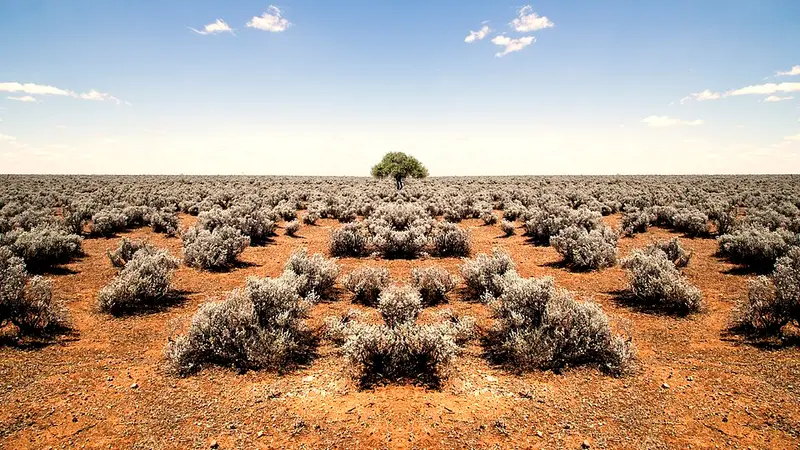
North of Burra the country opens up. Past Wandallah you cross Goyder's Line, the boundary drawn where rainfall becomes too low for cropping, and walk through Caroona Creek Conservation Park and Tourilie Gorge, which has an old bullock track cut through the rock. The trail then climbs Mount Bryan, the highest point of the Mount Lofty Ranges, descends to Hallett, and follows the Brown Hill Range beside a stone wall built in the 1840s, before joining the freshwater channel that feeds Bundaleer Reservoir. Long stretches are road and road reserve walking, much of it with little shade.
Towns, huts and water
Stops include Rossiters Hut, Tanunda, camping at Greenock Oval, Kapunda, Lights Hummocks Reserve, Marschalls Hut, the Marrabel walk in site, Huppatz Hut, the Worlds End walk in site, Burra, Wandallah Creek walk in shelter, Black Jack Hut, Caroona Creek walk in site, Tourilie Gorge Tank, Hallett Railway Station and Whistling Trig Tank. Tank water can run out: treat it and carry 3 to 4 litres on long days over 25°C.
Before you go
Mount Crawford to Tanunda is in the Mount Lofty Ranges fire ban district and the rest is in the Mid North district. The trail closes in both for the Fire Danger Season, set each year by the CFS (1 November to 30 April in the Mid North for 2025 to 2026), and its huts and campsites close with it. Check the Friends' reroutes and closures page before you go. Each day stage is on the Heysen Trail walk selector, and the official maps are Mapsheets 2, 3 and 4.
Elevation
- Climb
- 5,700 m
- Descent
- 5,700 m
- Highest
- 934 m
- Lowest
- 208 m
Approximate, from a 30 m terrain model, so it can overstate the climb on cliff edge tracks.
Before you go
Tell your people where you are going
Set your route and return time in FriendsFindMe. If you do not check in, the people you trust are sent a text so they know to come looking for you.
Park and state forest boundaries: CAPAD 2024 © Commonwealth of Australia (DCCEEW), CC BY 4.0; © Forestry Corporation of NSW, CC BY 3.0 AU; © State of Queensland, CC BY 4.0; © State of Victoria (DEECA), CC BY 4.0
Walk data: Recreation Trails © Crown in right of the State of South Australia (Department for Environment and Water), CC BY 4.0