
About this walk
This is the northernmost stretch of the Investigator Trail, running along the western shore of Boston Bay between the Axel Stenross Maritime Museum, at the northern edge of Port Lincoln, and North Shields. This part is the northern section of the Parnkalla Trail, 8.8 kilometres from the museum to the North Shields caravan park.
How it fits the longer trail
The Investigator Trail is named after HMS Investigator, the ship Matthew Flinders sailed while surveying this coast in 1802. Its main part is a circuit of about 89 kilometres through Lincoln National Park, south of town. The trail carries on north outside the park for another 31 kilometres via Tulka and Port Lincoln to North Shields, and the part through Port Lincoln is called the Parnkalla Trail. This stretch is the last of those 31 kilometres.
What it is like
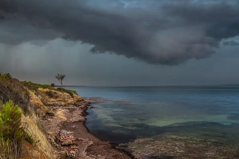
The central Parnkalla Trail through town, from the museum south to Billy Lights Point, is a 2 metre wide bitumen path. North of the museum the surface changes to a natural trail, which was upgraded in works up to 2015. The walking is flat, with Boston Bay, the largest natural harbour in Australia, on one side for most of the way. Wear sturdy shoes for the unsealed sections.
Getting there
The museum is on the foreshore at the northern end of Port Lincoln, and North Shields is on the Lincoln Highway north of town, so the walk works one way with a car shuffle or as a return walk from either end. The Port Lincoln Visitor Information Centre at 60 Tasman Terrace (1300 788 378) has local maps and advice.
Nearby
Heading south from the museum, the Parnkalla Trail passes the First Landing Site of 1839, the town jetty and foreshore, the marina and Kirton Point on its way to Billy Lights Point, and the Investigator Trail continues from there past Tulka to Lincoln National Park.
This stretch is outside the national park, so park alerts do not cover it. Check with the visitor centre for local works, and see the Lincoln National Park page if you plan to continue onto the park sections.
Elevation
- Climb
- 70 m
- Descent
- 60 m
- Highest
- 26 m
- Lowest
- 3 m
Approximate, from a 30 m terrain model, so it can overstate the climb on cliff edge tracks.
Before you go
Tell your people where you are going
Set your route and return time in FriendsFindMe. If you do not check in, the people you trust are sent a text so they know to come looking for you.
Walk data: Recreation Trails © Crown in right of the State of South Australia (Department for Environment and Water), CC BY 4.0