
About this walk
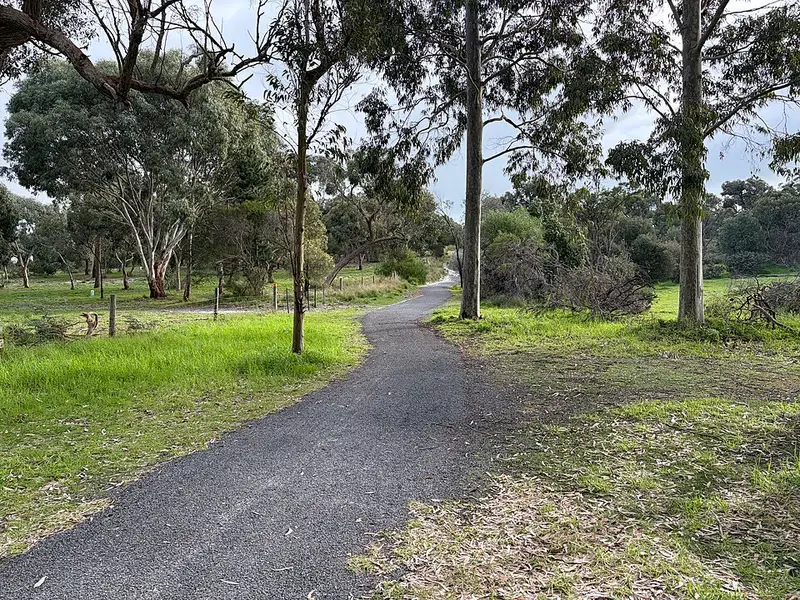
The Naracoorte Creek Walk is a path that follows Naracoorte Creek through the middle of Naracoorte, in South Australia's Limestone Coast, and winds up to the Naracoorte Nature Park. It is about 5 km long and takes around 1.5 hours, and it can be walked as a loop or in shorter sections.
What it is like
It is a low impact track, well signed and suited to walkers, bike riders and gophers (mobility scooters). It is popular with locals for a quiet stroll or a fitness walk. Along the creek there are tables and seats, with picnic areas near Riverside Drive and Wheeler Court. The route passes the Naracoorte Cemetery, where the monuments and headstones are part of the town's history, and the Naracoorte Swimming Lake, which is worth a swim in the swimming season.
The Naracoorte Nature Park, set up in 1983, protects 28 hectares of native bushland with its own self guided walk of about 30 minutes. It has natural and planted trees and shrubs, with banksias a feature, and plenty of birds and other wildlife. It is also a good spot for a picnic. The park's entrance is near the Swimming Lake on Moore Street.
Getting there and rules
The walk has more than one start point, including one near the town centre, so you can join the loop wherever suits you. Dogs are allowed but must stay on a lead at all times. Bring sun protection, and take your rubbish home if there is no bin nearby.
Nearby
The 14.7 km Naracoorte Caves Trail sets off from Memorial Parklands in town and runs to the World Heritage listed Naracoorte Caves. Naracoorte South Conservation Park has a network of walking trails through scrub on the south side of town, and a heritage walk with 18 markers tells the town's history around the centre. Every Saturday at 8am a free 5 km parkrun is held at the Swimming Lake.
The Naracoorte Visitor Information Centre at 36 MacDonnell Street (08 8762 1399) hands out a free map of the walk and the pocket sized Naracoorte Trails brochure. The council's Naracoorte Creek Walk page has more detail.
Elevation
- Climb
- 50 m
- Descent
- 50 m
- Highest
- 77 m
- Lowest
- 53 m
Approximate, from a 30 m terrain model, so it can overstate the climb on cliff edge tracks.
Before you go
Tell your people where you are going
Set your route and return time in FriendsFindMe. If you do not check in, the people you trust are sent a text so they know to come looking for you.
Walk data: Recreation Trails © Crown in right of the State of South Australia (Department for Environment and Water), CC BY 4.0