
About this walk
The Nukan Kungun Hike is the longest walking trail in Coorong National Park, running beside the southern end of the Coorong between the township of Salt Creek and 42 Mile Crossing campground. It is a moderate hike of about 25 to 27 km one way over 2 days. It can be walked from Salt Creek south to 42 Mile Crossing; this route goes the other way, from 42 Mile Crossing north to Salt Creek. It suits school and walking groups.
The route
The trail links four of the park's shorter walks, on wildlife, scenery, the dunes and the early Chinese travellers. Near Salt Creek it meets the Ngrugie Ngoppun Walk, whose name means "good walk" in the Ngarrindjeri language. Further south it passes Pipe Clay Lake and the Lakes Nature Trail, where you can see what is left of the salt harvesting that ran here from the 1870s, when 200 to 400 tons of salt a year were raked by hand. It continues past Tea Tree Crossing to Chinaman's Well, a stone well built around 1856 on the route Chinese gold seekers walked from South Australian ports to the Victorian goldfields, with quarries, a stock trough and the ruins of an eating house nearby. At Salt Creek itself a replica oil rig marks Australia's first full scale drilling for oil in 1892, chasing a substance that turned out to be plant matter, not oil.
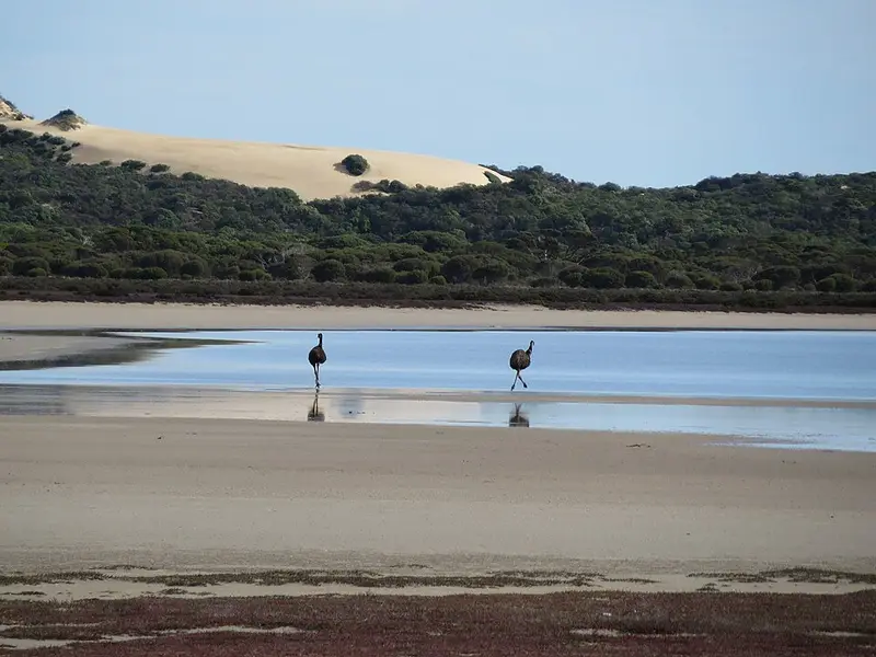
From 42 Mile Crossing you can carry on another 1.3 km over the dunes to the ocean beach. The Coorong is a wetland of international importance, and the country is low mallee, sand dunes and salt lakes beside the lagoon.
Camping and water
Secluded bush campsites are dotted along the trail. The Loop Road campgrounds near Salt Creek have toilets, and 42 Mile Crossing campground has toilets, non potable water (not safe to drink untreated) and a picnic table. All campsites must be booked before you arrive. Carry all the drinking water you need.
Before you go
Dogs are allowed only on the ocean beach below the high water mark, so they cannot come on this hike. Mobile coverage is patchy, especially in low ground. Summer and autumn are mostly warm and dry, so avoid walking in the heat of the day. The park is closed on days of Catastrophic Fire Danger and may close on Extreme days. Check the Coorong National Park page and the NPWS SA closures and alerts page before you go. The Coorong National Park Information Office is on (08) 7133 7270.
Elevation
- Climb
- 80 m
- Descent
- 90 m
- Highest
- 18 m
- Lowest
- 1 m
Approximate, from a 30 m terrain model, so it can overstate the climb on cliff edge tracks.
Before you go
Tell your people where you are going
Set your route and return time in FriendsFindMe. If you do not check in, the people you trust are sent a text so they know to come looking for you.
Park and state forest boundaries: CAPAD 2024 © Commonwealth of Australia (DCCEEW), CC BY 4.0; © Forestry Corporation of NSW, CC BY 3.0 AU; © State of Queensland, CC BY 4.0; © State of Victoria (DEECA), CC BY 4.0
Walk data: Recreation Trails © Crown in right of the State of South Australia (Department for Environment and Water), CC BY 4.0