
About this walk
This walk follows the old Milang railway, a branch line that ran from Sandergrove, south of Strathalbyn, to the river port of Milang on Lake Alexandrina. The line opened in 1884 and closed in 1970, and in 1991 the strip of land it ran on was dedicated as the Nurragi Conservation Reserve, now protected by a native vegetation heritage agreement. The full trail is 13 kilometres, a gentle walk of 2 to 3 hours, and splits at the old Nurragi siding: 7.2 kilometres from Sandergrove to Nurragi and 5.4 kilometres from Nurragi to Milang. This walk runs from the Milang end almost to Sandergrove.
Why the corridor matters
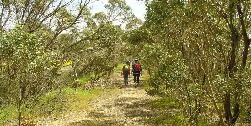
Fewer than 2 in every 100 hectares of the original bush in this district survive, so this narrow strip is one of the last pieces of the Milang Scrub. More than 300 native plant species grow along it, dozens of them of conservation significance, and it links the eastern Mount Lofty Ranges with the lake as a corridor for birds and other wildlife. Nurragi comes from a Ngarrindjeri word for scrub. The Friends of Nurragi, formed in 1988, have replanted bare ground with Milang Scrub species, including muntries, quandongs and native currants.
The Sandergrove half crosses heavier soils with pink gums and mallee. Past Nurragi Road you pass the remains of the Nurragi siding, a picnic area, and a memorial to naturalist John Eckert, who chaired the Friends group for 20 years. Look for bottlebrush, dryland tea tree, native pine and correa. The section closest to Milang was added to the reserve in 2001 and was direct seeded in 2008 after years of grazing.
Getting there and facilities
At the Sandergrove end the trail starts where Research Road meets Tucker Road. Part way along, it crosses Nurragi Road at the old station site. The Milang end is at McDonald Road, near the Port Milang Historic Railway Museum on the foreshore, which opens on weekend afternoons. Milang is the only place on the route with facilities, including barbecues and a caravan park. Numbered features from the Sandergrove end match brochures and engraved maps at the access points, and distance markers run both ways.
Before you go
The trail is for walkers only, with stiles at road crossings. The crossing of the Finniss to Milang road is at a sharp angle, so watch for traffic and pick up the trail diagonally opposite. Low ground near Dry Plains Road can flood after heavy rain. The surface is a mix of coarse gravel, packed earth and loose sand. Spring and early summer are the best time to visit. Read the National Trust page before you go.
Elevation
- Climb
- 40 m
- Descent
- 20 m
- Highest
- 43 m
- Lowest
- 10 m
Approximate, from a 30 m terrain model, so it can overstate the climb on cliff edge tracks.
Before you go
Tell your people where you are going
Set your route and return time in FriendsFindMe. If you do not check in, the people you trust are sent a text so they know to come looking for you.
Walk data: Recreation Trails © Crown in right of the State of South Australia (Department for Environment and Water), CC BY 4.0