
About this walk
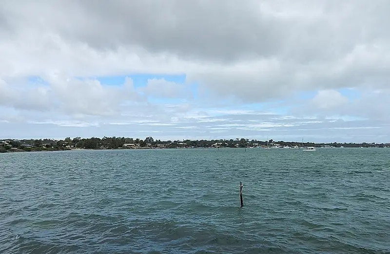
The Coffin Bay Oyster Walk is the town's foreshore trail, following the shores of Coffin Bay and Kellidie Bay on the lower Eyre Peninsula, one of Australia's best known oyster growing areas. The main trail is 8 kilometres between Long Beach in the west and Snapper Point in the east, passing the boat ramp, the town centre and the jetty, with a loop through Kellidie Bay Conservation Park that climbs to the Coffin Bay Lookout. This is the eastern part of the walk. This section begins in the bush about 2 kilometres east of Snapper Point, on the Kellidie Bay side, probably part of the side trail towards Old Oyster Town described below. It then comes past Snapper Point and along the foreshore into town, and includes the lookout loop. The western part, out to Long Beach, is Section 2.
What it is like
Most of the Oyster Walk is rated Grade 2, a formed and well signposted track over fairly flat coastal ground, with rest points and few steps. The loop up to the Coffin Bay Lookout is Grade 3 with some steep sections and wide views over the waterways. The walk can be done whole or in shorter sections. The District Council of Lower Eyre Peninsula installed new interpretive signs along the walk in 2026.
From Snapper Point a separate trail continues to Old Oyster Town, the site of the first settlement here from the 1850s, inside Kellidie Bay Conservation Park. Little is left of it beyond a well and a lavender bush, and that trail has not been graded.
Facilities
The foreshore has toilets, barbecues, picnic areas, lawns and boating facilities, and oyster bars stand beside the trail in town. The walk is free.
Getting there
Coffin Bay town sits on Coffin Bay Road, the same road that leads to Coffin Bay National Park, which is about 50 kilometres west of Port Lincoln. Access from the Flinders Highway is via Coffin Bay Road.
Before you go
For local conditions, contact the District Council of Lower Eyre Peninsula on (08) 8676 0400. The SA Tourism Oyster Walk page has the trail grades. If you head on to Coffin Bay National Park, check the SA parks closures and alerts page.
Elevation
- Climb
- 60 m
- Descent
- 60 m
- Highest
- 56 m
- Lowest
- 4 m
Approximate, from a 30 m terrain model, so it can overstate the climb on cliff edge tracks.
Before you go
Tell your people where you are going
Set your route and return time in FriendsFindMe. If you do not check in, the people you trust are sent a text so they know to come looking for you.
Park and state forest boundaries: CAPAD 2024 © Commonwealth of Australia (DCCEEW), CC BY 4.0; © Forestry Corporation of NSW, CC BY 3.0 AU; © State of Queensland, CC BY 4.0; © State of Victoria (DEECA), CC BY 4.0
Walk data: Recreation Trails © Crown in right of the State of South Australia (Department for Environment and Water), CC BY 4.0