
About this walk
The St Mary Peak Inside Trail is the long way to Tanderra Saddle, the high point below St Mary Peak (Ngarri Mudlanha) in Ikara Flinders Ranges National Park. Instead of climbing the pound's outer wall, it goes into Ikara (Wilpena Pound) and crosses the floor before climbing to the saddle from inside. This route runs one way from the Wilpena trailhead to just below the saddle.
Most walkers use it as one half of the loop. The St Mary Peak Hike is one of the park's hard hikes: the loop route, up one trail and down the other, is 21.5 km and about 9 hours, while the direct route, up and back on the Outside Trail with the summit added, is 14.6 km and 6 hours return. Both start from the bushwalking trailhead at the Wilpena Visitor Centre.
The route
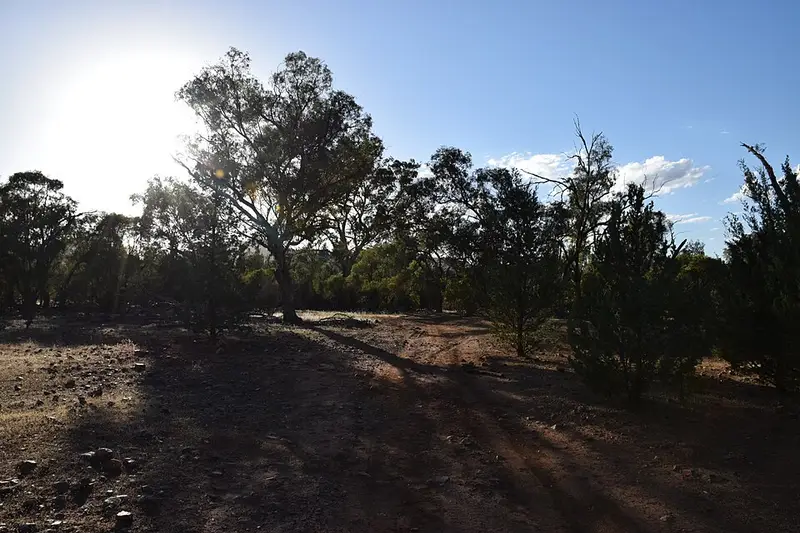
The trail leaves Wilpena along the creek through Wilpena Gap to the restored Hills Homestead, where the Hill family farmed the pound floor from 1901 until a flood in 1914 destroyed their road through the gap. The Bridle Gap and Malloga Falls hikes share this first stretch. From the homestead the trail heads west and then north across the pound, with the Malloga Falls Hike branching off to the north west before the climb to the saddle begins. The pound's level floor is about 8 km by 4 km, ringed by quartzite ranges.
The peak
St Mary Peak, at 1,171 metres, is the highest point in the Flinders Ranges and is central to the Adnyamathanha creation story. The Adnyamathanha people would prefer visitors not to climb to the summit, and Tanderra Saddle also gives spectacular views.
When to go
The hike is closed over summer, with no access to St Mary Peak from 6 pm on 30 November to 6 am on 1 March. Set out no later than 9 am, or 10 am in daylight saving time. April to October is the comfortable season; summer maximums reach 30 to 45 °C.
Before you go
Wilpena has toilets, showers, fuel, a general store and a visitor centre (open 8 am to 5 pm, 08 8648 0048). Vehicle entry is $14.40 per vehicle, and dogs are not permitted. Carry at least 4 litres of water each, sign the Bushwalkers Register at the trailhead, and tell someone your route. All trails close on Catastrophic Fire Danger days. Check the Ikara Flinders Ranges park page and the Parks SA closures and alerts before you go.
Elevation
- Climb
- 470 m
- Descent
- 50 m
- Highest
- 965 m
- Lowest
- 544 m
Approximate, from a 30 m terrain model, so it can overstate the climb on cliff edge tracks.
Before you go
Tell your people where you are going
Set your route and return time in FriendsFindMe. If you do not check in, the people you trust are sent a text so they know to come looking for you.
Park and state forest boundaries: CAPAD 2024 © Commonwealth of Australia (DCCEEW), CC BY 4.0; © Forestry Corporation of NSW, CC BY 3.0 AU; © State of Queensland, CC BY 4.0; © State of Victoria (DEECA), CC BY 4.0
Walk data: Recreation Trails © Crown in right of the State of South Australia (Department for Environment and Water), CC BY 4.0