
About this walk
Walk the Yorke is a walking and cycling trail of more than 500 km around Yorke Peninsula, from Port Wakefield to Moonta Bay. This is the opening stretch, down the east coast along Gulf St Vincent from Port Wakefield to the edge of Port Vincent. It has four sections totalling about 108 km: Port Wakefield to Port Clinton (32.8 km), Port Clinton to Ardrossan (27.8 km), Ardrossan to Pine Point (18.8 km) and Pine Point to Port Vincent (28.5 km). The rest of the trail, south and around the peninsula to Moonta Bay, is in the other section.
The route
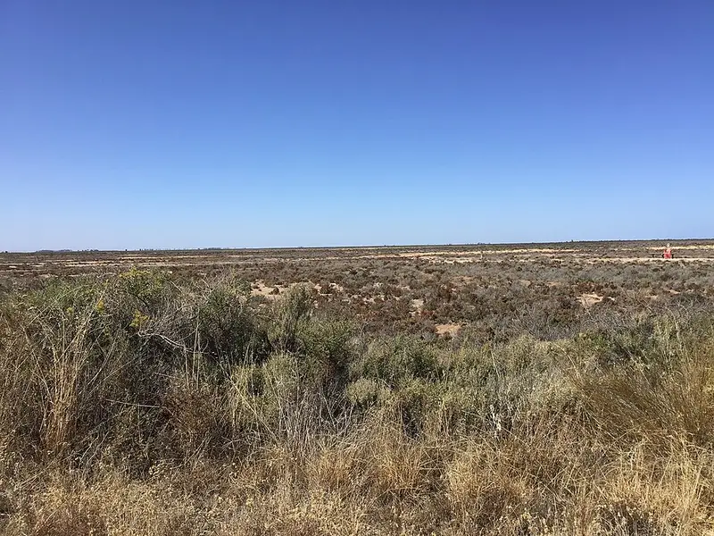
The first two sections cross the Samphire Coast, a low shore of samphire flats and mangroves that draws migratory birds. The trail skirts Clinton Conservation Park, 396 hectares that is mostly mangrove swamp, passes the old Port Arthur gaol and a shelter with views to the Hummocks, and reaches Port Clinton. Further south, the salt pans at Price can be seen from the causeway to Wills Creek Conservation Park, and from Tiddy Widdy Beach the trail follows the CH Smith Trail into Ardrossan, where the museum tells the story of the stump jump plough. South of Ardrossan the Ardrossan Lookout looks over the gulf, and a memorial at Parara Beach marks the stranding of seven sperm whales in December 2014. The trail continues through James Well and Rogues Point to Pine Point, then via Black Point, a former quarantine station, and Port Julia with its old Red Shed, along clifftops past Sheoak Flat to the Port Vincent marina lookout.
Underfoot
Times are worked out at 4 km an hour, but sand and rough ground slow you down. North of Port Wakefield a creek crossing can be hard after rain, and the trail notes give a wet weather route. A deep sandy gully north of James Well is hard going, and between Rogues Point and Pine Point there is an unformed stretch with gully crossings, steep descents and erosion, so read the trail notes before you plan this part. Some stretches are shared with cyclists, who are routed onto the highway in places.
Water, camping and rules
Shelters have rainwater tanks that depend on rain, so treat the water, and carry 2 litres for a cool day, at least 3 above 28 degrees. Water can be bought in Ardrossan and Port Vincent. Caravan parks are at Port Clinton, Price, Ardrossan, Pine Point, Black Point and Port Vincent. Walkers without a vehicle can use the council's bush camping grounds free, but camping is not allowed in conservation parks such as Wills Creek. Walk below the high tide mark to protect nesting shorebirds from early spring to late March.
Before you go
Summer walking is not recommended, mobile coverage is unreliable, and a personal locator beacon is advised on longer walks. Check the Walk the Yorke trail notes for detours and closures before you go, and use the section guides on Yorke Peninsula Tourism. Topographic maps cost $5 each, or $45 for the set of 10, from Yorke Peninsula Council.
Elevation
- Climb
- 680 m
- Descent
- 680 m
- Highest
- 150 m
- Lowest
- 0 m
Approximate, from a 30 m terrain model, so it can overstate the climb on cliff edge tracks.
Before you go
Tell your people where you are going
Set your route and return time in FriendsFindMe. If you do not check in, the people you trust are sent a text so they know to come looking for you.
Park and state forest boundaries: CAPAD 2024 © Commonwealth of Australia (DCCEEW), CC BY 4.0; © Forestry Corporation of NSW, CC BY 3.0 AU; © State of Queensland, CC BY 4.0; © State of Victoria (DEECA), CC BY 4.0
Walk data: Recreation Trails © Crown in right of the State of South Australia (Department for Environment and Water), CC BY 4.0