
About this walk
This is Section 5 of the Willunga Basin Trail, a walking trail of about 130 kilometres that loops around the Willunga Basin south of Adelaide in 11 sections. Section 5 turns inland: it starts at the car park at the southern end of Gulf Parade, Maslin Beach, follows the coast north to Moana, then heads up the Pedler Creek valley to the McLaren Vale and Fleurieu Coast Visitor Information Centre. It is 12.8 kilometres, a Moderate Hike, Grade 3.
What it is like
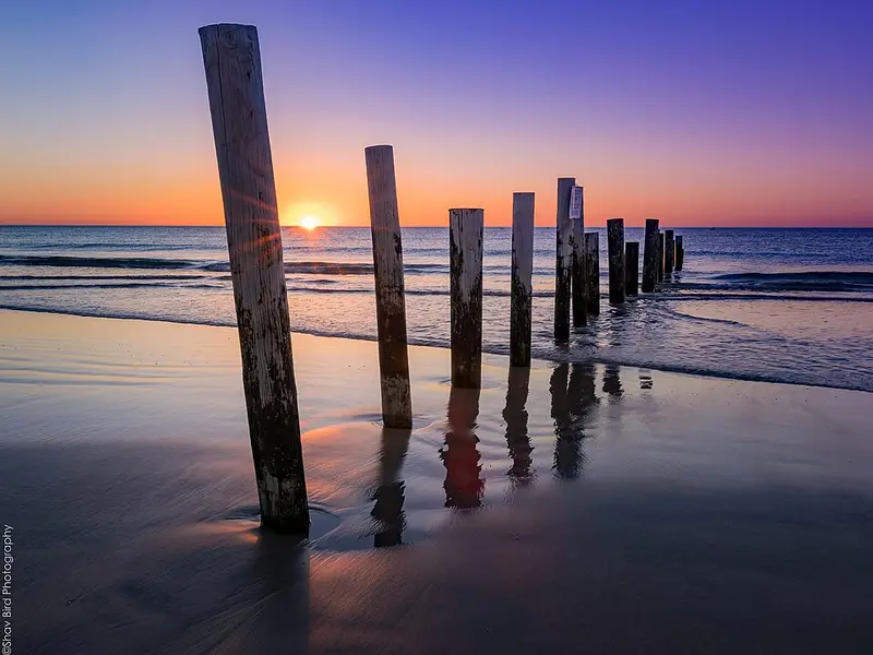
A short cliff path leads to Frank Hilton Reserve, where a bridge and sealed path take you down to the beach. The next 3.6 kilometres to the Pedler Creek estuary at Moana are the hardest going: a wide sandy beach, a rock wall, then the rocky shore around Ochre Point under cliffs of geological interest, where you sometimes clamber over rocks. Keep to the landward edge of the beach and stay off the cliffs and gullies, which are conservation land of cultural and heritage value. Do not attempt this stretch at very high tides. Signs between the north end of Maslin Beach and the south end of Moana Beach have been sparse. Cars are allowed on the last 800 metres of beach.
After Moana the route follows Pedler Creek past the caravan park, crosses busy Commercial Road, and winds through the Dalkeith wetland, a managed wetland with plenty of birdlife, and the Pedler (Kityparri) Reserve. It then joins the Coast to Vines Trail, a shared path built on the old railway line, for 4.5 kilometres to McLaren Vale. Keep left and watch for fast cyclists; in four places signs offer softer walkers' paths beside the main path. The section ends at a council totem near the visitor centre on Main Road.
Getting there and facilities
There are large car parks at both ends. The visitor centre has toilets and local information, and Moana has facilities near the beach. Trains run from Adelaide to Seaford station, which is 2.1 kilometres from this section, and buses link Seaford and Noarlunga with the local towns. Moana Beach Tourist Park is beside the route.
Before you go
Between Ochre Point and Moana, dogs must be on a lead from 10am to 8pm during daylight saving, and they are banned within 100 metres of a fenced or bunted Hooded Plover nest. Dogs must be on a lead on the Coast to Vines Trail. Check the tides, and check the Willunga Basin Trail alerts before you go. The Section 5 page has the map and GPX file.
Elevation
- Climb
- 130 m
- Descent
- 90 m
- Highest
- 61 m
- Lowest
- 1 m
Approximate, from a 30 m terrain model, so it can overstate the climb on cliff edge tracks.
Before you go
Tell your people where you are going
Set your route and return time in FriendsFindMe. If you do not check in, the people you trust are sent a text so they know to come looking for you.
Walk data: Recreation Trails © Crown in right of the State of South Australia (Department for Environment and Water), CC BY 4.0