
About this walk
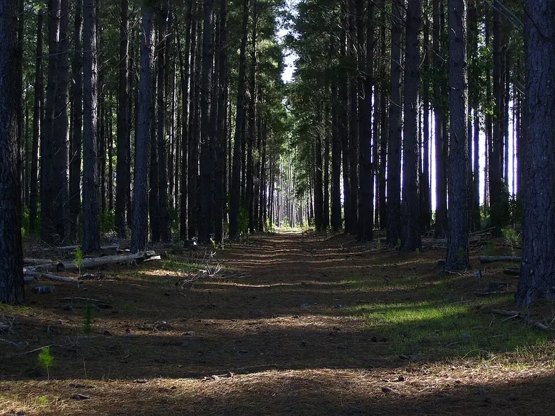
This is Section 8 of the Willunga Basin Trail, a walking trail of about 130 kilometres that circles the Willunga Basin south of Adelaide in 11 sections. Section 8 climbs from the historic settlement of Kangarilla into ForestrySA's Kuitpo Forest and follows the top of the range south to the junction of Wickham Hill Road and Toops Hill Road near McLaren Flat. It is 13.5 kilometres, a Hard Hike, Grade 4. Nearly 9 kilometres of it are in pine and native forest.
What it is like
From the section end post at Sand Road you walk into Kangarilla past the Temperance Hall, which has a public toilet, and the shop. At the end of Old Coach Road a stile leads into the Old Coach road reserve, the route of the old coach, fenced as a 5 metre wide corridor that climbs steadily for 900 metres with views back over Kangarilla. At the top you enter Bone Gully Forest and follow its boundary between pines and farmland, with views across the basin, close to the summit of Mount Panorama.
The trail continues through Mount Panorama native forest past the Kuitpo weather station, then along a bush path to Ironbarks picnic area, which has parking, seats and fire pits for winter use. This stretch is shared with the Heysen Trail and the Onkeeta Trail. From Ironbarks the route passes the Ironbark plantation, planted in 1898, follows the forest's eastern edge, and turns through the Knotts Hill native forest, which can be wet underfoot in winter. It crosses Peters Creek Road at a forest access point, another place to park, and finishes along quiet Knotts Hill Road and Toops Hill Road.
Kuitpo Forest covers 3,600 hectares on Kaurna and Peramangk Country, about 60 percent of it plantation, managed for timber, conservation and recreation.
Detours
Logging and thinning in these forests can move the trail. From November 2025 the trail association has signed a detour around the Bone Gully and Knotts Hill works, using Glory Road, Peters Creek Road and a forest boundary track. Check its alerts page and follow the signs on the day.
Getting there
Park on McLaren Flat Road just north of Sand Road at Kangarilla (there is no parking on Old Coach Road), at Ironbarks, at the Knotts Hill Road forest entrance, or at the Wickham Hill and Toops Hill Roads junction.
Before you go
Dogs must be on a lead between Old Coach Road and the forest, and through native forest areas. ForestrySA closes the forest on total fire ban days, and the trail is closed on Extreme and Catastrophic fire danger days. Check the Willunga Basin Trail alerts and the Kuitpo Forest page before you go. The Section 8 page has the map and GPX file.
Elevation
- Climb
- 150 m
- Descent
- 380 m
- Highest
- 410 m
- Lowest
- 185 m
Approximate, from a 30 m terrain model, so it can overstate the climb on cliff edge tracks.
Before you go
Tell your people where you are going
Set your route and return time in FriendsFindMe. If you do not check in, the people you trust are sent a text so they know to come looking for you.
Walk data: Recreation Trails © Crown in right of the State of South Australia (Department for Environment and Water), CC BY 4.0