
About this walk
The Brookes Track is the climb from the Leven River at Taylors Flats, near Loongana, up to Paddys Lake under the summit of Black Bluff. It is part of the Penguin Cradle Trail, and this walk runs from Paddys Lake north, past the saddle known as the Camel, down to Taylors Flats Road beside the river. At the top it meets the Black Bluff Range Traverse, which carries the trail on along the range towards Cradle Mountain, and the Black Bluff Summit Track.
The Penguin Cradle Trail runs about 76 to 80 kilometres from Penguin on the north west coast to Cradle Mountain. Volunteers from the North West Walking Club began building it in 1975 and still maintain it with Wildcare Friends of the Penguin Cradle Trail.
What it is like
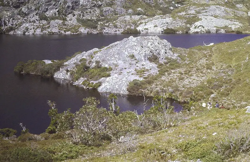
On the climb up Black Bluff the scenery changes completely, from river valley and farmland to the mountain. Paddys Lake sits under the summit block, edged by Tasmanian conifers, with open subalpine heath beyond it. The trail from Taylors Flats along the river to the base of the climb was cleared in 2023 and again in 2025. Above the lake the trail is mostly over 900 metres and can bring fog, snow and strong wind, so carry warm and waterproof clothing even on a fine day.
Foxglove
If you come along the Penguin Cradle Trail from the north, the section at Loongana between marker posts 14 and 15 is heavily infested with foxglove, an invasive and toxic weed whose seed can stay alive in the soil for more than 60 years. To stop walkers carrying seed up onto the Black Bluff Range and into Cradle Mountain during the October to May flowering and seeding season, take the road to Taylors Flats instead of that stretch.
Before you go
There are no facilities on the trail. Mobile reception is patchy and only on Telstra. The track is not regularly inspected and may have been rerouted since your map was printed. Read the North West Walking Club track updates and check the Parks and Wildlife Service alerts page before you go.
Elevation
- Climb
- 10 m
- Descent
- 770 m
- Highest
- 1,117 m
- Lowest
- 355 m
Approximate, from a 30 m terrain model, so it can overstate the climb on cliff edge tracks.
Before you go
Tell your people where you are going
Set your route and return time in FriendsFindMe. If you do not check in, the people you trust are sent a text so they know to come looking for you.
Park and state forest boundaries: CAPAD 2024 © Commonwealth of Australia (DCCEEW), CC BY 4.0; © Forestry Corporation of NSW, CC BY 3.0 AU; © State of Queensland, CC BY 4.0; © State of Victoria (DEECA), CC BY 4.0
Walk data: LIST Transport Segments from theLIST © State of Tasmania, CC BY 3.0 AU