
About this walk
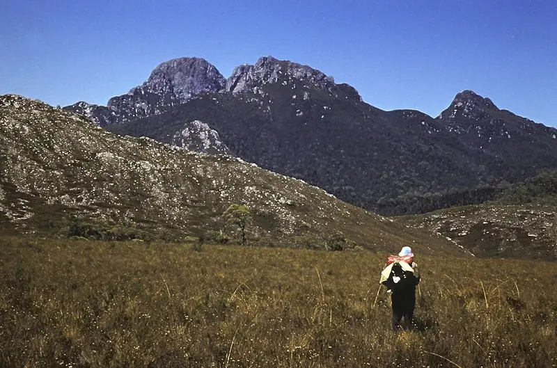
The Eastern Arthur Range Traverse crosses the Eastern Arthurs in Southwest National Park, part of the Tasmanian Wilderness World Heritage Area, and passes beneath Federation Peak, a 1,224 metre quartzite spire that Edmund Hillary is said to have called Australia's only real mountain. The whole trip is 72 kilometres over 6 to 9 days, Grade 5: for very experienced walkers with navigation and emergency first aid skills, on very rough, very steep and unmarked track. People have died on this walk, and Federation Peak has seen several fatal falls.
This walk runs between Farmhouse Creek, the southern trailhead off West Picton Road, and Cracroft Crossing on the Cracroft Plains. It leaves out the approach from Scotts Peak Dam Road through Junction Creek and the Arthur Plains (about 27 kilometres), which most parties use to reach Cracroft Crossing.
The route
From the north, Cracroft Crossing to Pass Creek is about 6 kilometres of muddy buttongrass (the tough, tussocky sedge of the southwest's plains) and a short climb over the Razorback. Pass Creek can be dangerous to cross in high water. From there Luckmans Lead climbs about 600 metres in 4 kilometres to Stuart Saddle, with little water on the way. Beyond it you scramble along a ridge to Goon Moor, then over the Four Peaks, where the going is slow and pack hauling is common, and across Thwaites Plateau to the Hanging Lake junction. Hanging Lake campsite is about 1 kilometre off the route and has a toilet.
From the junction the track skirts the cliffs on the south side of Federation Peak, passing the turn for the summit, and descends steeply to Bechervaise Plateau. The summit climb above Lake Geeves is exposed rock climbing where a fall is likely to be fatal, and the traverse does not need it. Moss Ridge then drops steeply and slipperily through thick forest to Cutting Camp, with very little water. The last two days, about 9 kilometres each, cross many creeks to the South Cracroft River, climb to the South Picton saddle and descend through cutting grass and rainforest to Farmhouse Creek.
Camping and rules
There are no huts. There are 8 campsites, 5 of them with tent platforms, each for 3 or 4 tents, with a maximum stay of 2 nights. You must register, no more than 6 independent walkers may start on any day, and the maximum group size is 6. You may need 20 metres of rope to haul packs. The area is fuel stove only. Carry a compass and paper maps (TASMAP 1:50,000 Western Arthur, Hartz and Adamsons), because digital navigation alone is unreliable, and carry a personal locator beacon.
Before you go
Parks has posted alerts about road access on West Picton Road and about fallen trees on the Huon Track, so read the Eastern Arthur Range Traverse page, the walk notes and the Parks and Wildlife Service alerts page before you go. Snow, rain, strong wind and sun can come at any time of year.
Elevation
- Climb
- 2,200 m
- Descent
- 2,200 m
- Highest
- 1,131 m
- Lowest
- 130 m
Approximate, from a 30 m terrain model, so it can overstate the climb on cliff edge tracks.
Before you go
Tell your people where you are going
Set your route and return time in FriendsFindMe. If you do not check in, the people you trust are sent a text so they know to come looking for you.
Park and state forest boundaries: CAPAD 2024 © Commonwealth of Australia (DCCEEW), CC BY 4.0; © Forestry Corporation of NSW, CC BY 3.0 AU; © State of Queensland, CC BY 4.0; © State of Victoria (DEECA), CC BY 4.0
Walk data: LIST Transport Segments from theLIST © State of Tasmania, CC BY 3.0 AU