
About this walk
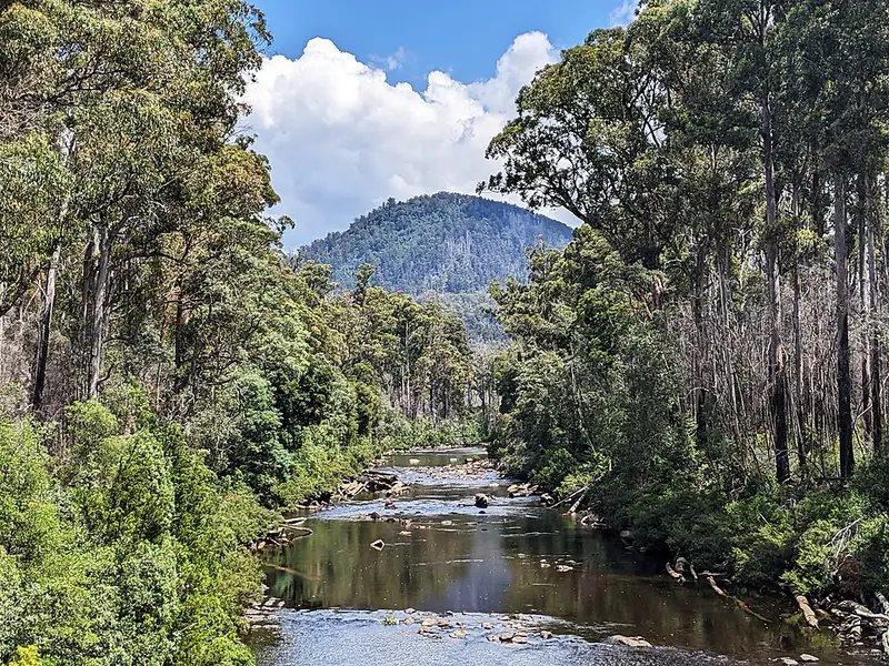
The Huon Track is a remote walking track leading into the eastern side of Southwest National Park. It starts near the meeting of the Picton and Huon rivers, at the edge of the Picton River Conservation Area, and follows the valley of the Huon River west for about 25 kilometres to the Cracroft Plains. There it meets McKays Track, which crosses the Arthur Plains from Junction Creek, and the Eastern Arthur Range Traverse, which heads south from Cracroft Crossing towards Federation Peak. The whole area is part of the Tasmanian Wilderness World Heritage Area.
The Huon Track is one of three ways onto the Eastern Arthur Range Traverse, alongside the track from Huon Campground across the Arthur Plains and the Farmhouse Creek Track from the south. Walked from here, the traverse runs north to south. The traverse is 6 to 9 days and 72 kilometres, Grade 5, for very experienced walkers, with sheer cliffs, exposed scrambles and changing alpine weather, and Federation Peak has seen multiple deaths.
Track condition
In September 2026 the Huon Track was heavily affected by a large number of fallen trees, which make it extremely difficult to follow. Reach the northern end of the Eastern Arthur Range Traverse from Huon Campground and the Arthur Plains instead. Check the current advice on the Parks and Wildlife Service alerts page before you plan around this track.
Before you go
You must register for the Eastern Arthur Range Traverse, and no more than 6 independent walkers may start on any day. There are no huts and only limited campsites; Cracroft Crossing campsite near the western end of this track has a pit toilet and a few tent sites, and can flood in heavy rain. Digital navigation alone is unreliable there, so carry a compass and paper maps: the TASMAP 1:50,000 Western Arthur, Hartz and Adamsons sheets cover the traverse. Phone reception is patchy. Read the Eastern Arthur Range Traverse page and its walk notes before you go.
Elevation
- Climb
- 1,200 m
- Descent
- 1,100 m
- Highest
- 344 m
- Lowest
- 75 m
Approximate, from a 30 m terrain model, so it can overstate the climb on cliff edge tracks.
Before you go
Tell your people where you are going
Set your route and return time in FriendsFindMe. If you do not check in, the people you trust are sent a text so they know to come looking for you.
Park and state forest boundaries: CAPAD 2024 © Commonwealth of Australia (DCCEEW), CC BY 4.0; © Forestry Corporation of NSW, CC BY 3.0 AU; © State of Queensland, CC BY 4.0; © State of Victoria (DEECA), CC BY 4.0
Walk data: LIST Transport Segments from theLIST © State of Tasmania, CC BY 3.0 AU